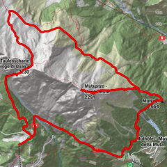
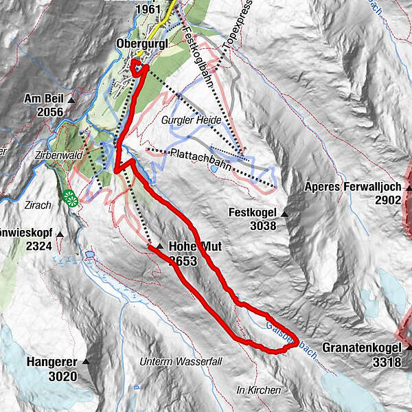
Tour data
8.06km
1,902
- 2,636m
153hm
881hm
02:34h
- Brief description
-
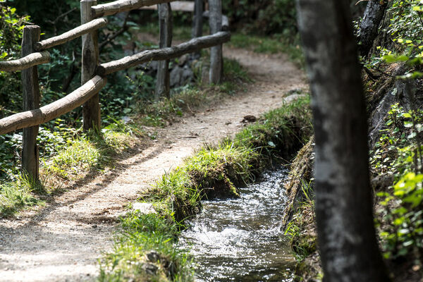
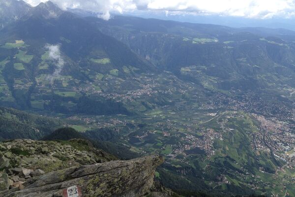
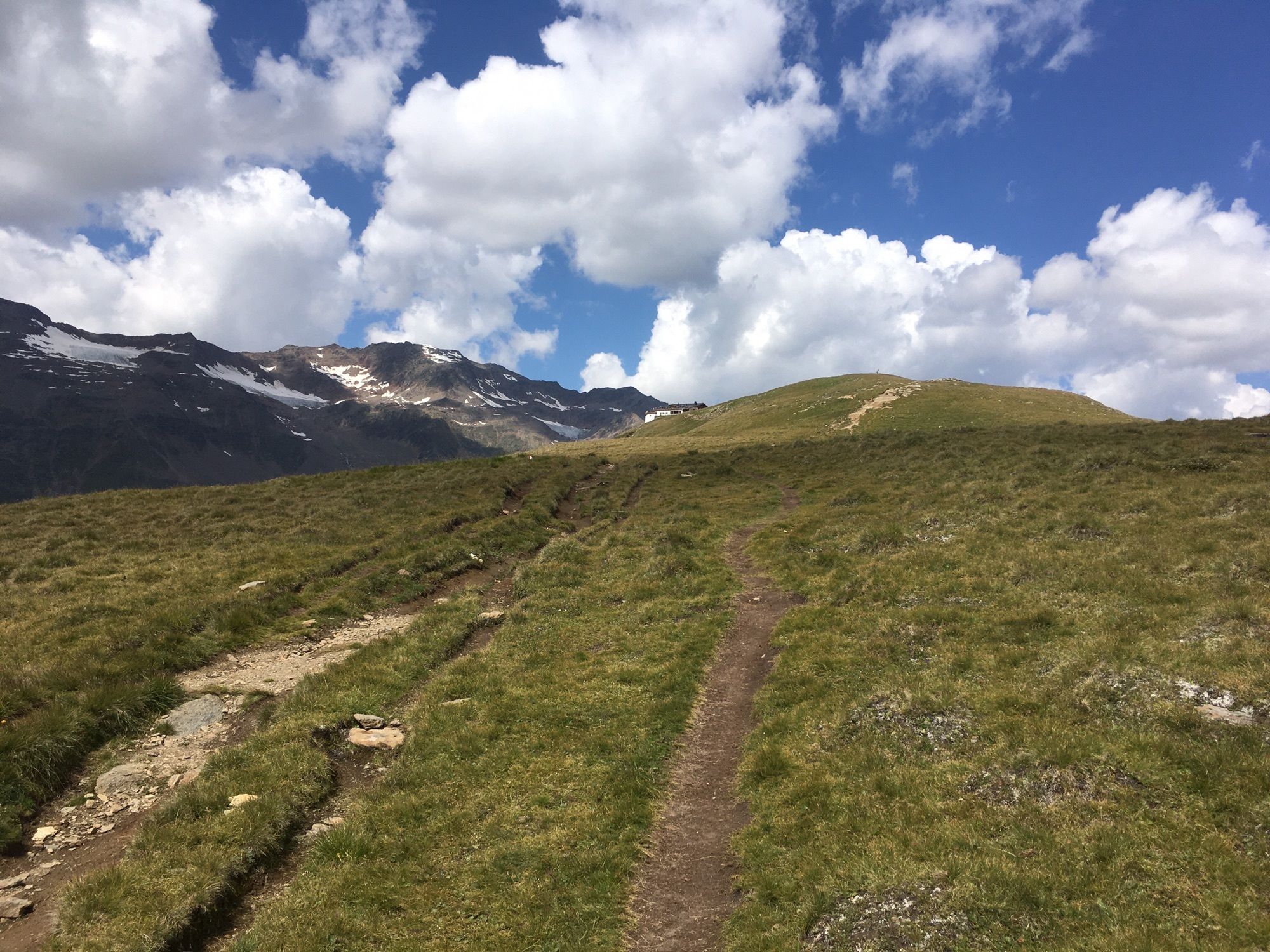
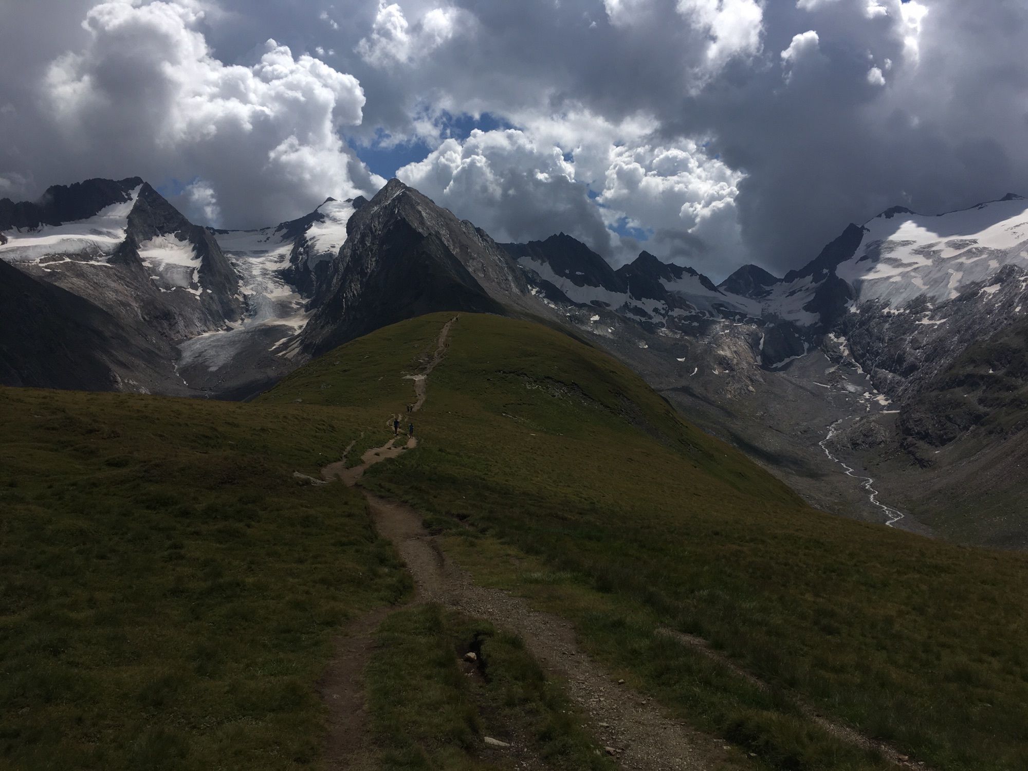
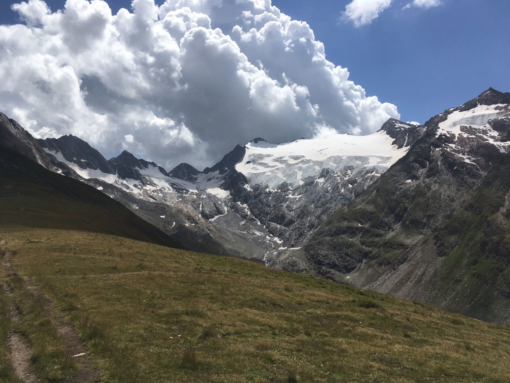
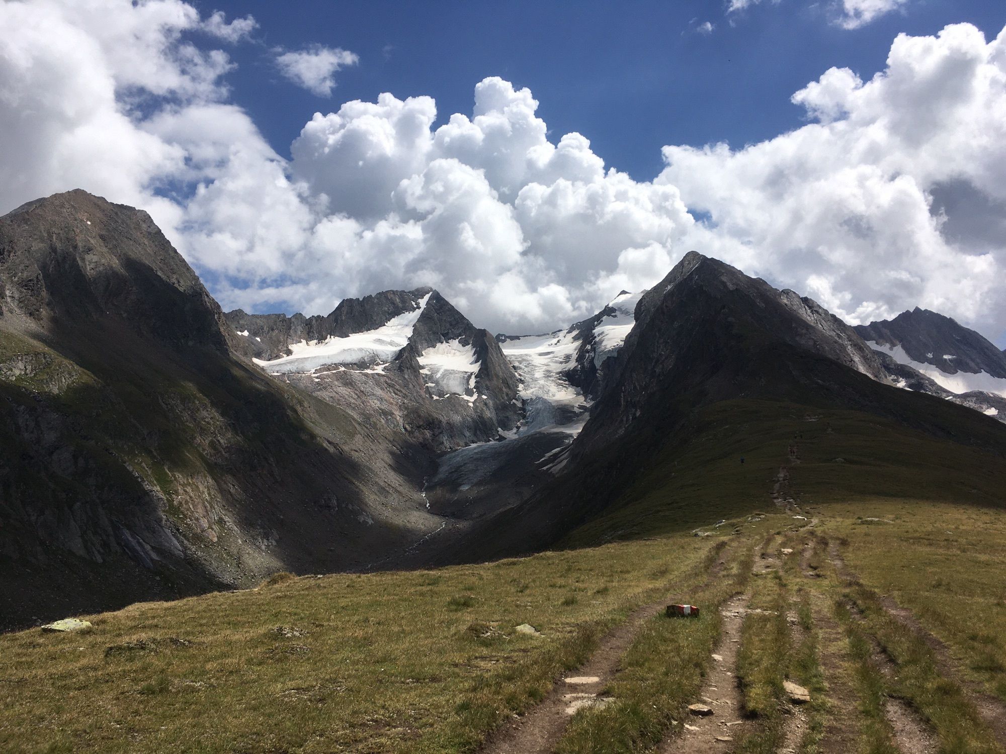
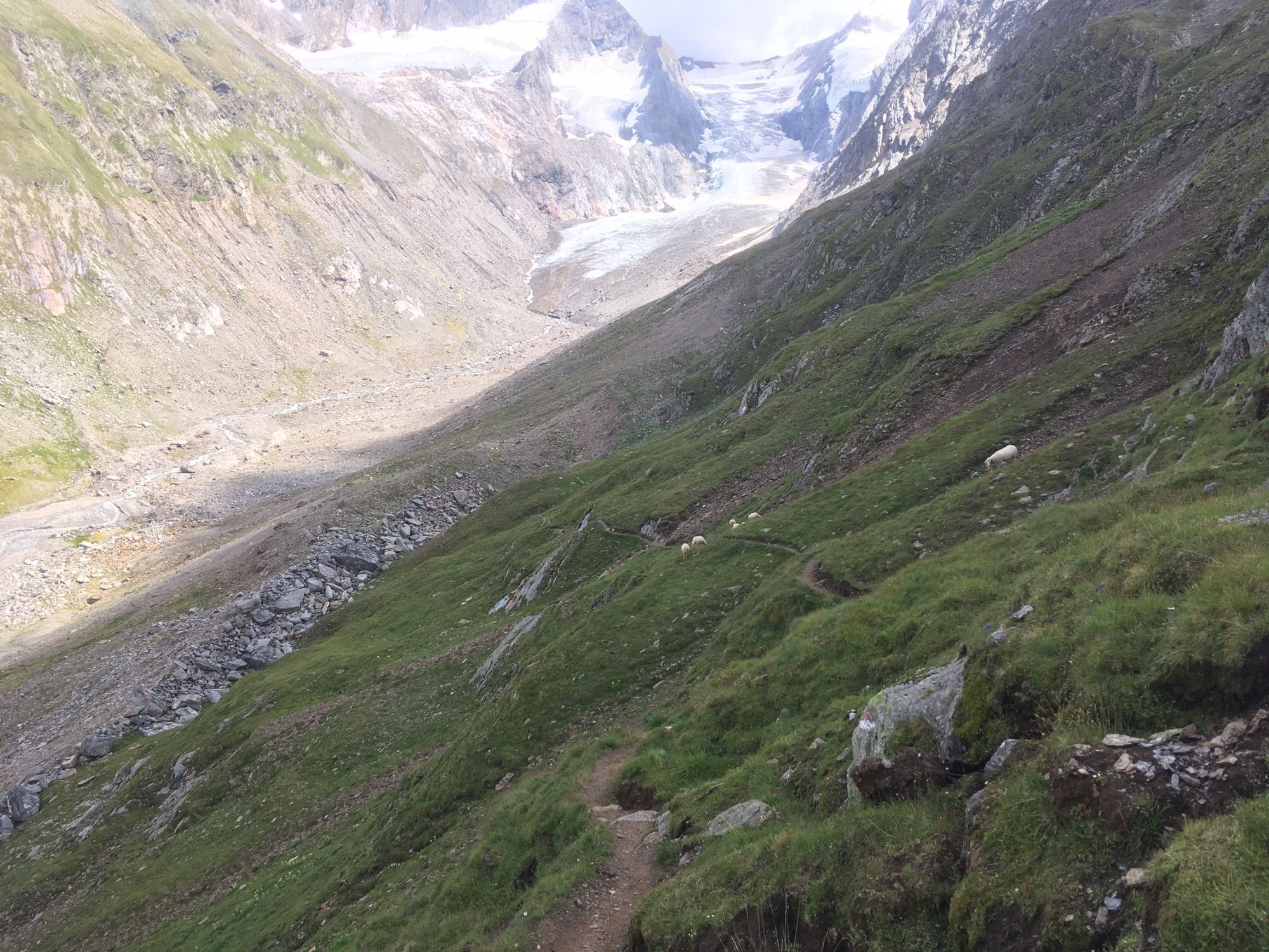
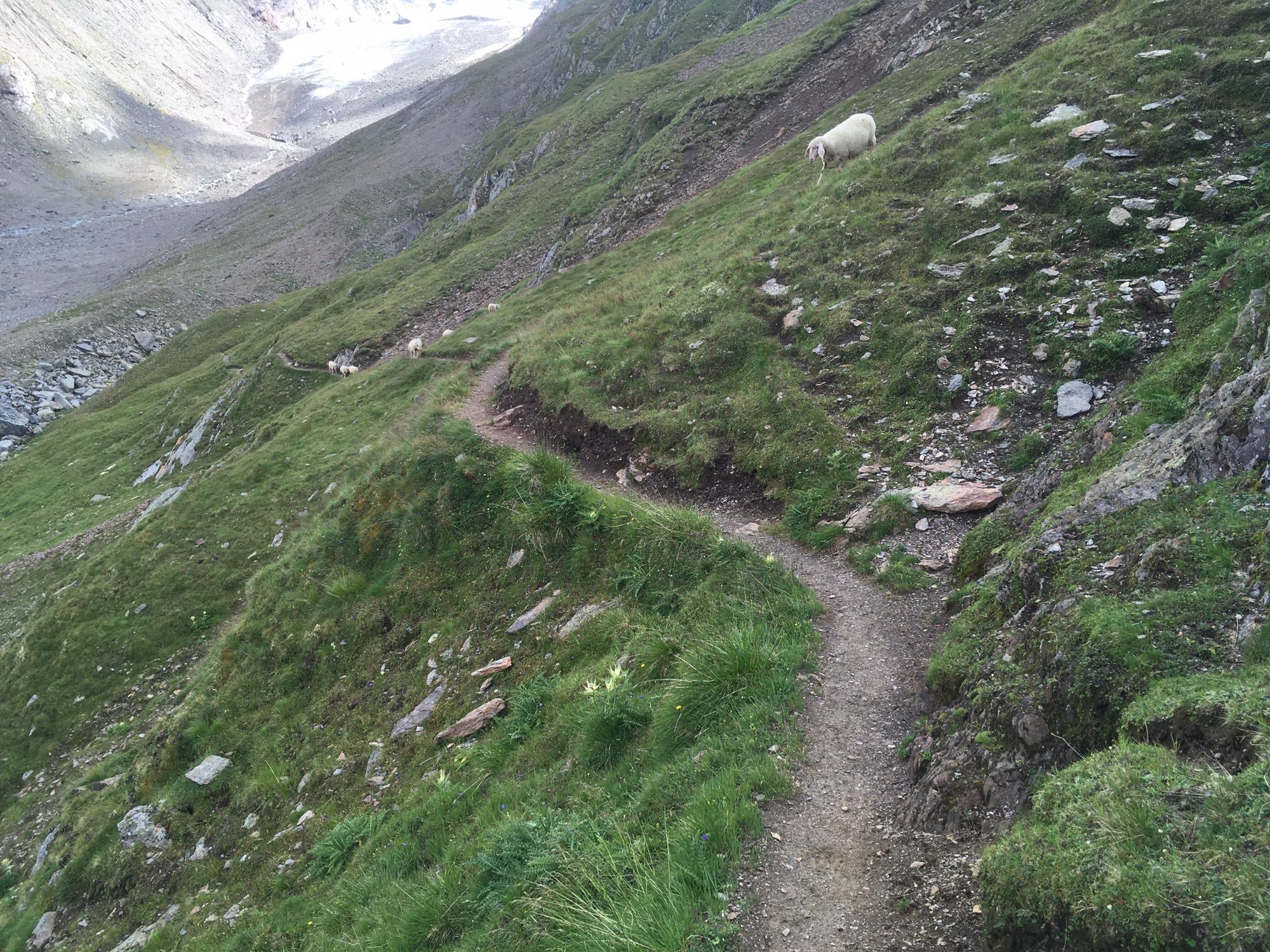
Wandeltocht vanaf bergstation Hohe Mut baan naar het middenstation van de Hohe Mut baan.
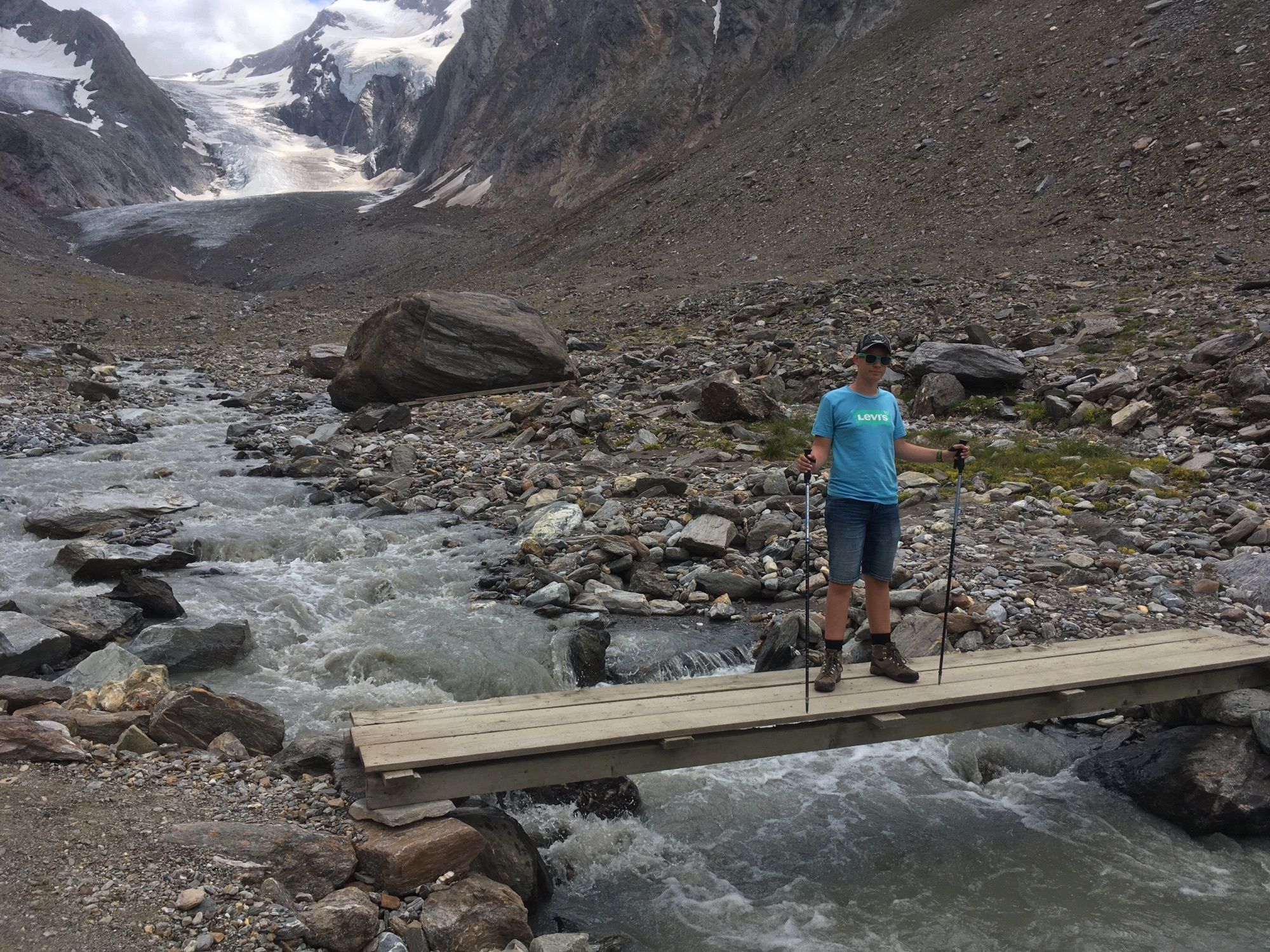
De tocht loopt onder de gletsjer langs en steekt 2 keer het riviertje over. - Difficulty
-
medium
- Rating
-
- Route
-
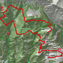
Hohe MutNederhütte (nur Winterbetrieb)6.4 kmRoßkarbahn (1,930 m)8.0 kmHohe Mut Bahn (1,930 m)8.0 kmObergurgl (1,907 m)8.0 km
- Best season
-
JanFebMarAprMayJunJulAugSepOctNovDec
- Highest point
- 2,636 m


GPS Downloads


Other tours in the regions
-
Meraner Land
1736
-
Ötztal
1111
-
Obergurgl - Hochgurgl
282