Tour data
3.68km
1,274
- 2,330m
1,056hm
01:06h
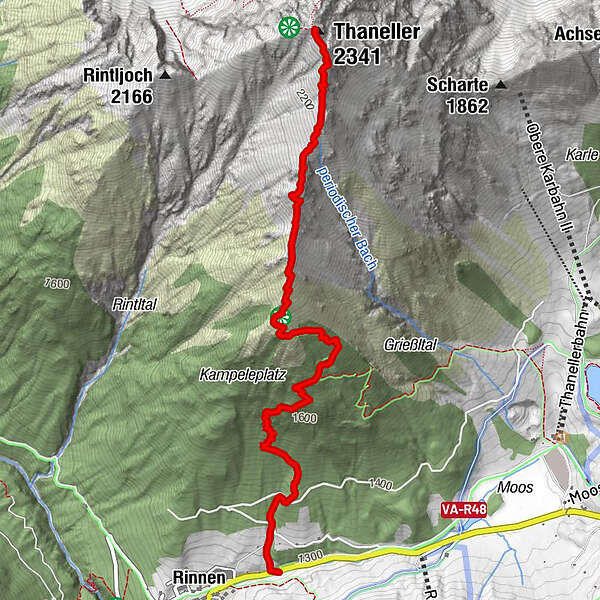
- Brief description
-
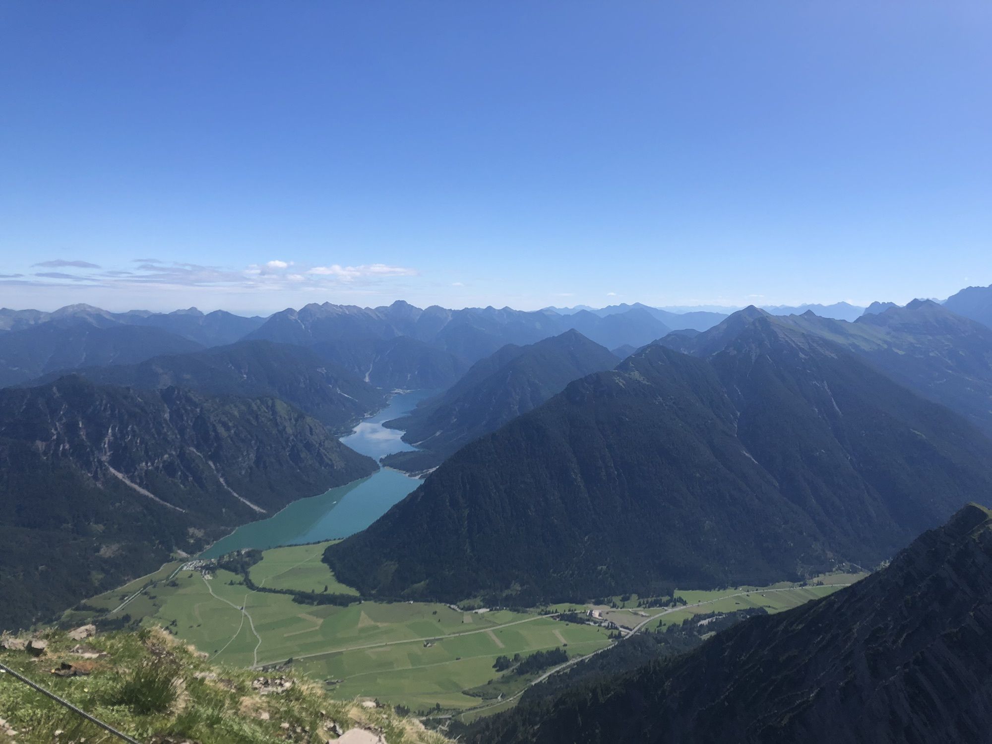
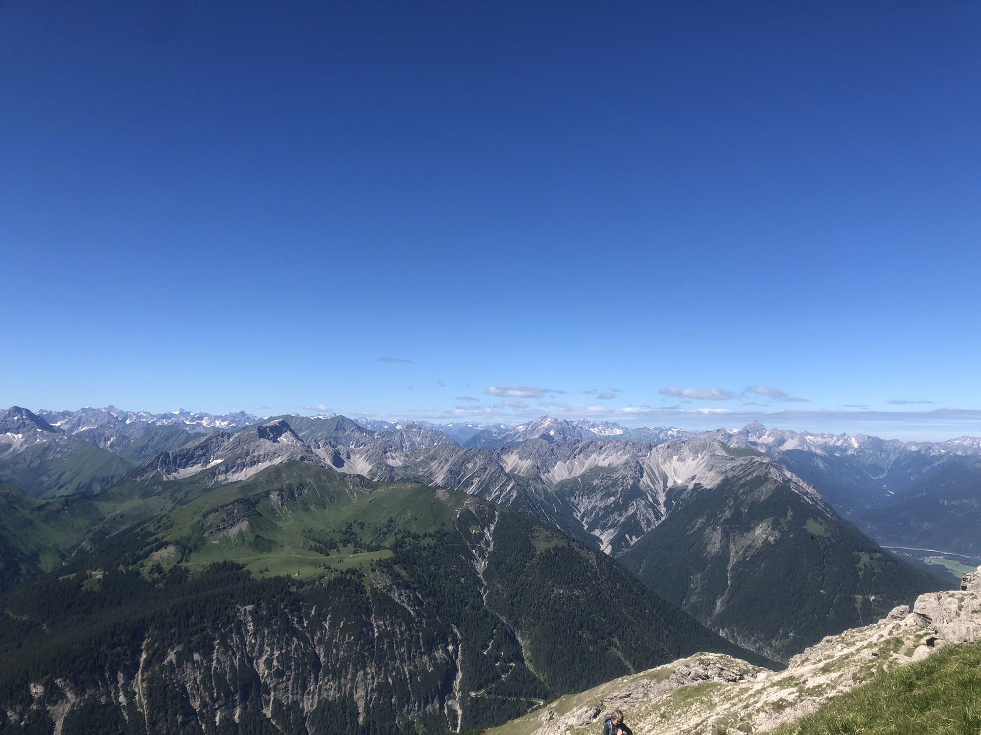
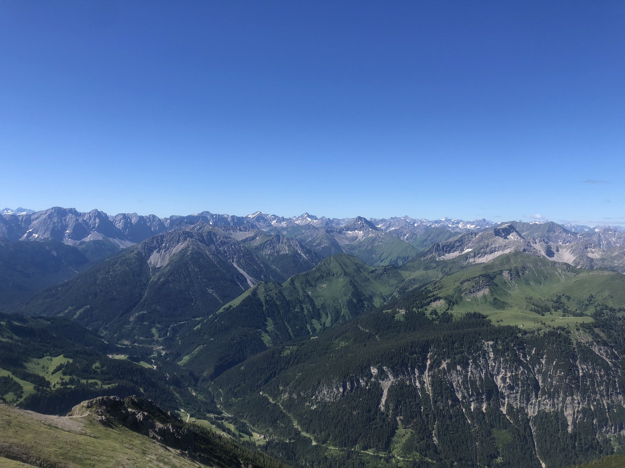
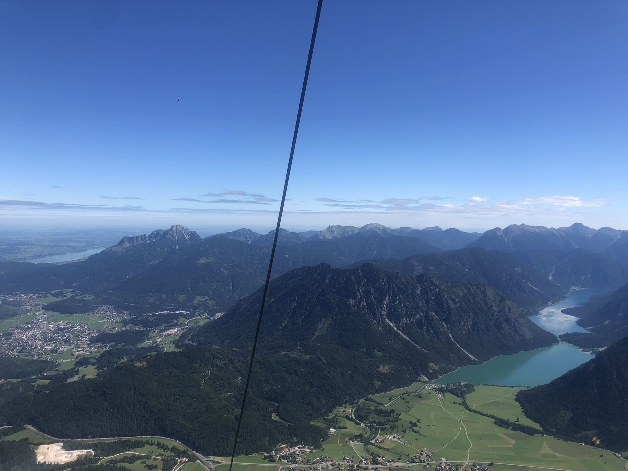
Von Rinnen durch Wald auf den Grat zum Gipfelkreuz
- Difficulty
-
medium
- Rating
-
- Route
-
Rinnen0.0 kmThaneller (2,341 m)3.7 km
- Best season
-
JanFebMarAprMayJunJulAugSepOctNovDec
- Highest point
- 2,330 m
GPS Downloads


Other tours in the regions
-
Naturparkregion Reutte
1434
-
Berwang
307