
Bernd Ritschel

Tour data
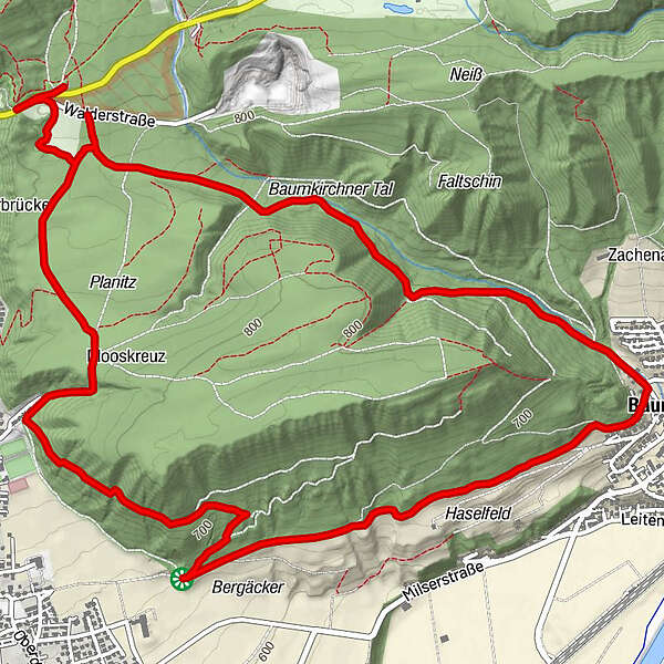
8.51km
611
- 809m
233hm
250hm
02:00h
- Brief description
-
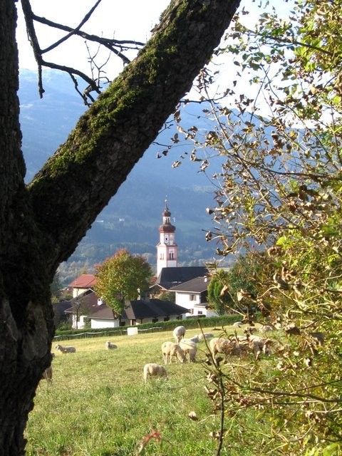
Baumkirchner Tal - Circular Route
- Difficulty
-
easy
- Rating
-
- Route
-
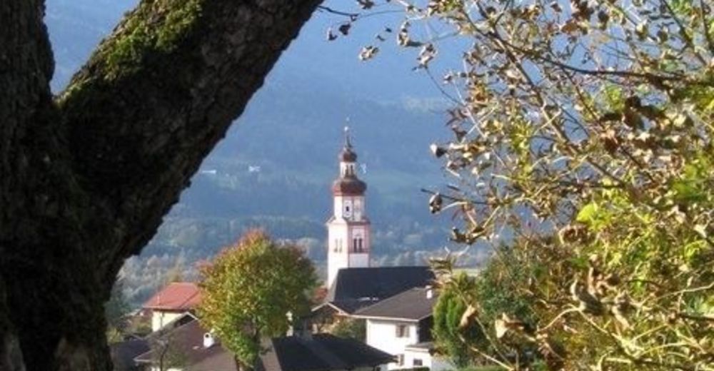
Walderkapelle0.2 kmBogner Aste0.5 kmObere Neissquellen1.7 kmUntere Neissquellen1.8 kmBaumkirchen (593 m)3.4 km
- Best season
-
JanFebMarAprMayJunJulAugSepOctNovDec
- Description
-
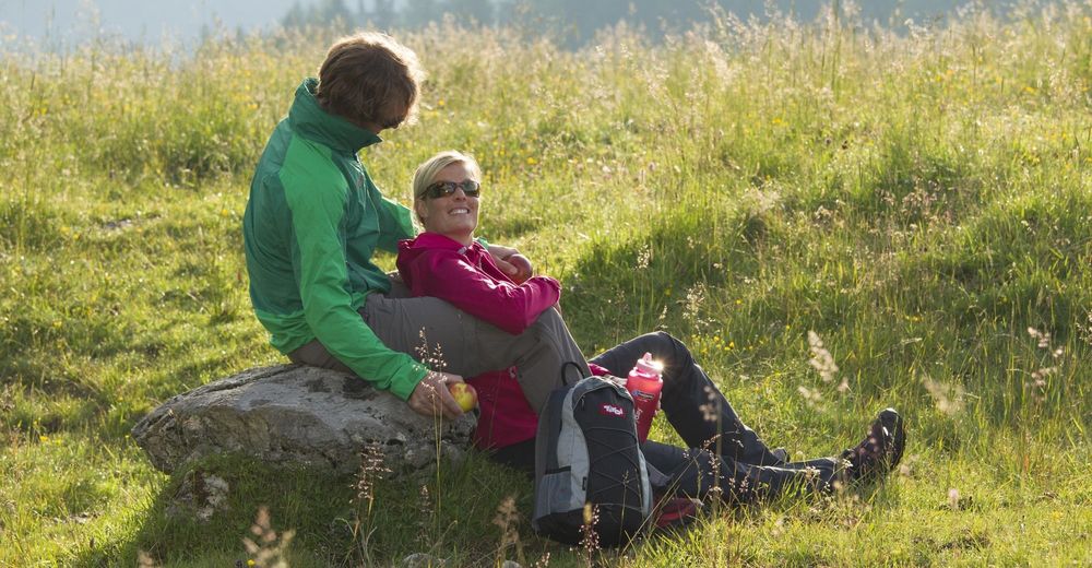
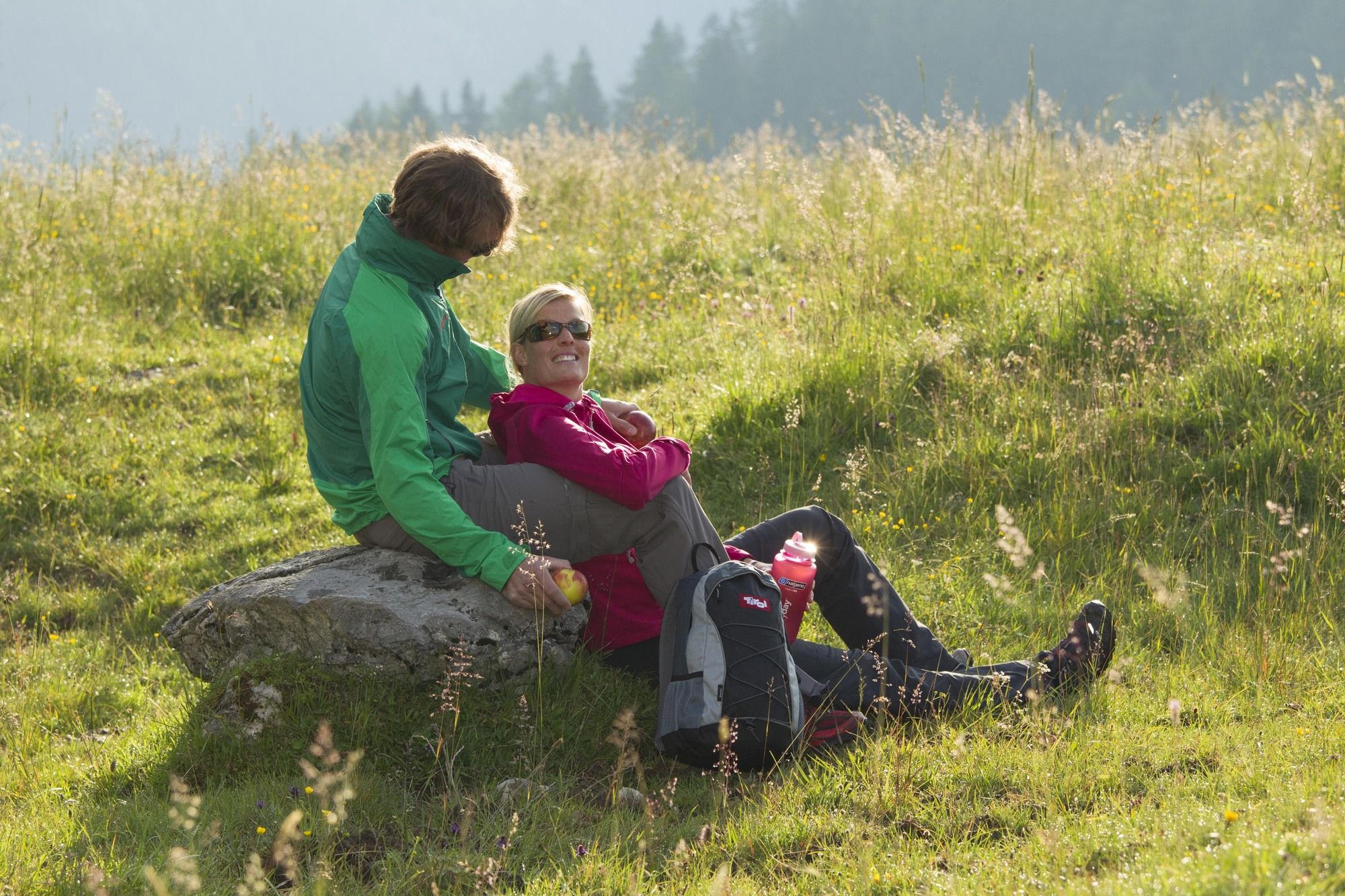
From the Walderkapelle Chapel to the Bogner Aste, make a left through the Baumkirchner Tal valley to Baumkirchen; westwards along the forest's edge in the direction of Mils. At the Bergäcker turn-off, select the northerly route to Mooskreuz, returning to the bogner Aste and the Walderkapelle Chapel. This circular route is also possible in a clockwise direction.
- Highest point
- Gnadenwald/Walderkapelle (809 m)
GPS Downloads


Trail conditions
Asphalt
Gravel
Meadow
Forest
Rock
Exposed
Other tours in the regions
-
Ferienregion Hall - Wattens
1478
-
Baumkirchen
338


