

- Brief description
-
A hike offering the best views in the Stubai Valley!
- Difficulty
-
difficult
- Rating
-
- Starting point
-
Middle station of the Stubaier glacier lift
- Route
-
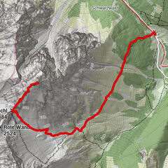
Sulzenauhütte3.9 kmSulzenaualm5.8 kmSulzenegg6.6 kmGrawa Alm8.5 km
- Best season
-
JanFebMarAprMayJunJulAugSepOctNovDec
- Description
-
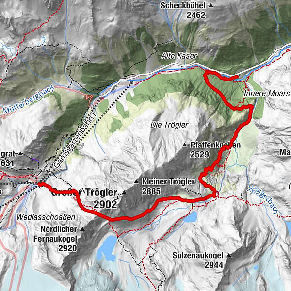
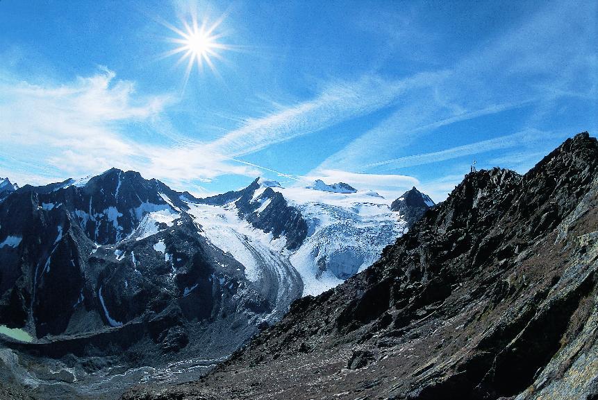
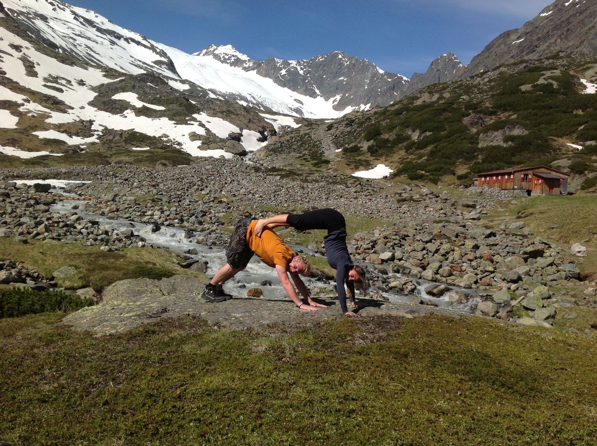
The hike impressively exhibits the diversity of the Stubai mountains unlike any other. Striking rock formations, deep crevasses, Stubai’s highest 3000-meter-peaks in sight and plenty of "wild water".
- Directions
-
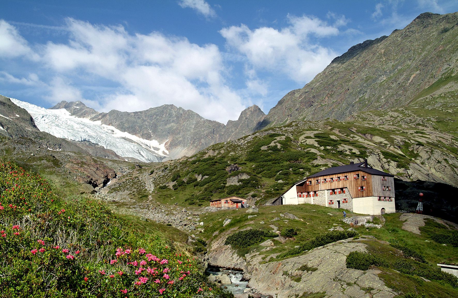
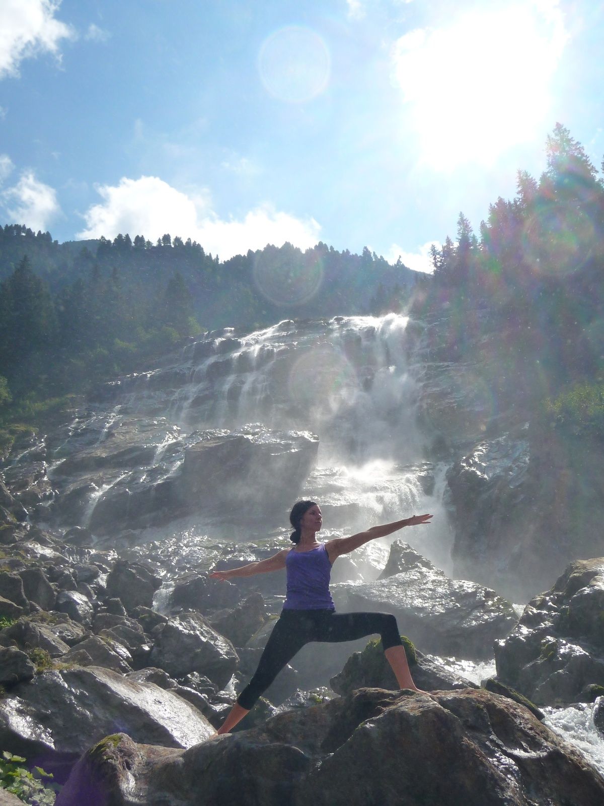
After the comfortable ascent (FREE with the STUBAI SUPER CARD) by gondola cableway to reach the middle station of the Stubai Glacier. Behind the building via a bridge we cross the stram Fernaubach and climb up over boulders towards to turn Trögler (very good mountaineering experience necessary) or via the Peiljoch. The road over the Peiljoch is steep but provided with good safety ropes (about 1.5 hours). The simpler version leads straight to Peiljoch. Here you can enjoy ravishing views of the Stubai Glacier world. The descent takes us first in serpentines, then through ice moranie of glacier Sulzenau in about 1 hour to Sulzenau hut. From there, after a retreat, the trail leads down to the valley. The perfect finish provides the Grawa alp directly overlooking the Grawa waterfall!
- Highest point
- 2,688 m
- Endpoint
-
Grawa waterfall with Grawa alp
- Height profile
-

- Equipment
-
alpine hiking equipment
- Safety instructions
-
The road over the Trögler is only recommended for very good weather and with good mountain experience.
- Tips
-
It is recommended to use the free buses, because the endpoint Grawa alp is about a 10 minute drive away from the starting point, the bottom station Gletscherbahn.
- Public transportation
-
with the free bus (depature al 15 minutes) from the Hotel Stubaierhof to the final stop Mutterberg at the Stubai Glacier.
- Parking
-
straight from the Hotel Stubaierhof and futher with the free bus or at the bottom station of the Stubaier glacier lift
- Author
-
The tour Peiljoch - glacier world in Antlitz is used by outdooractive.com provided.


General info
-
Brixen und Umgebung
1976
-
Stubaital
1213
-
Stubaier Gletscher
288