

© Hotel Brandstetterhof - Bergwanderführer Hotel Der Brandstetterhof
- Difficulty
-
medium
- Rating
-
- Route
-
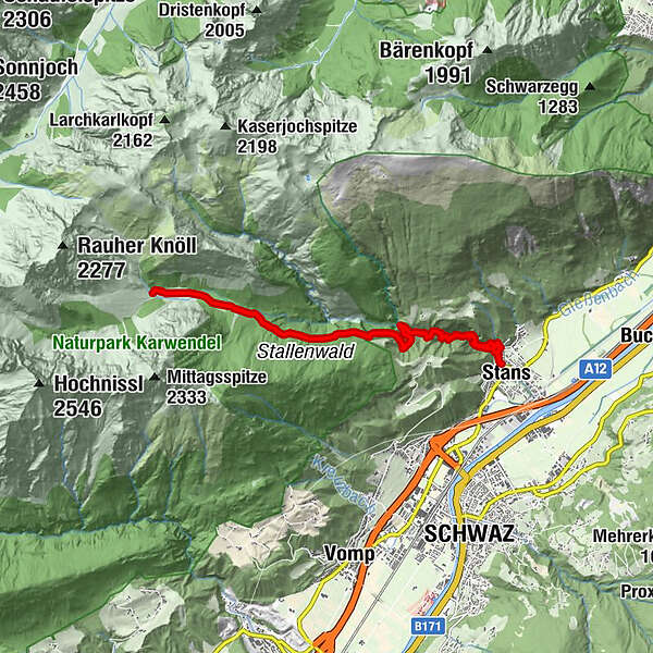
StansRatholdshöhle4.3 kmStallenalm8.3 km
- Best season
-
JanFebMarAprMayJunJulAugSepOctNovDec
- Highest point
- 1,343 m
- Endpoint
-
Stallen Alm
- Height profile
-

-

-
AuthorThe tour Wanderung zur Stallenalm is used by outdooractive.com provided.
GPS Downloads


General info
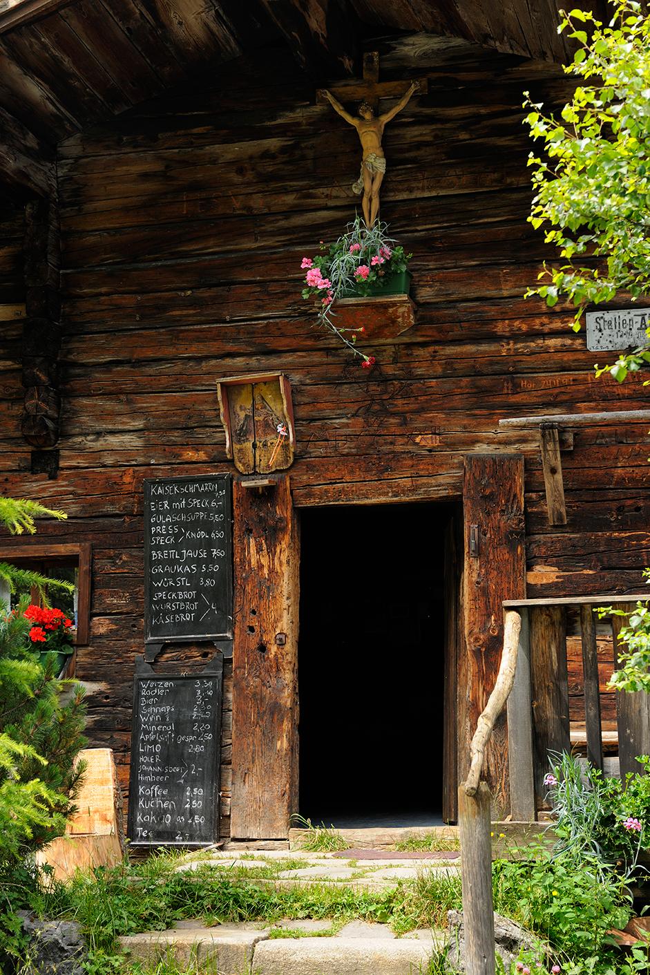
Refreshment stop
Cultural/Historical
Other tours in the regions
-
Silberregion Karwendel
1339
-
Vomp
404


