© Österreichs Wanderdörfer

© Österreichs Wanderdörfer

© Österreichs Wanderdörfer

© Österreichs Wanderdörfer
Tour data
11.46km
839
- 1,345m
489hm
485hm
04:00h

Österreichs Wanderdörfer
- Difficulty
-
medium
- Rating
-
- Route
-
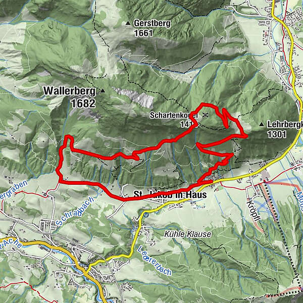
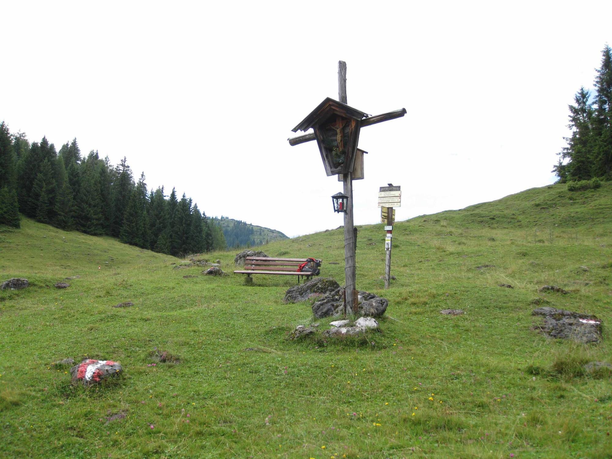
Pfarrkirche Sankt Jakob in HausZur Post0.0 kmSt. Jakob in Haus0.7 kmTorfmoos1.4 kmGerstberg5.1 kmHohe Scharte6.7 kmLehrbergalm8.4 kmZur Post11.4 kmPfarrkirche Sankt Jakob in Haus11.4 km
- Best season
-
JanFebMarAprMayJunJulAugSepOctNovDec
- Highest point
- 1,345 m
- Endpoint
-
Gasthof Post Dorfzentrum St. Jakob in Haus
- Height profile
-


- Author
-
Österreichs WanderdörferThe tour Am St. Jakober Höhenweg is used by outdooractive.com provided.
GPS Downloads


General info
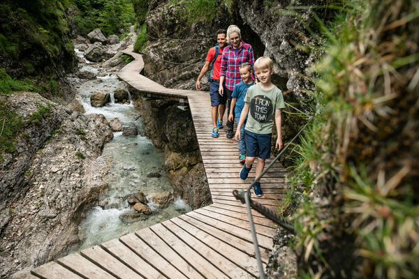
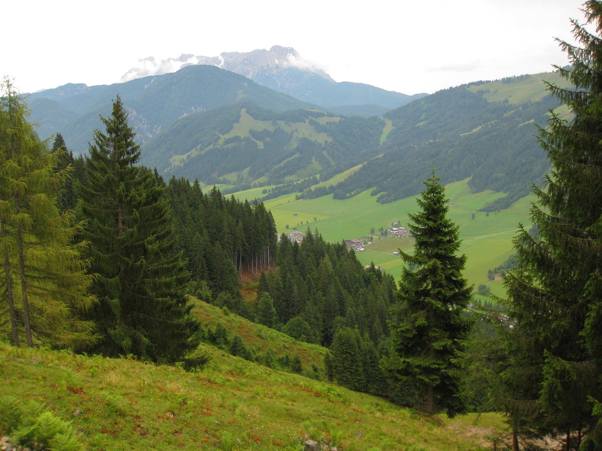
A lot of view
Other tours in the regions
-
Pillerseetal
1781
-
St. Jakob in Haus
404