


Tour data
14km
687
- 1,590m
896hm
06:00h
- Rating
-
- Starting point
-
Gasthof Waldhof
- Route
-
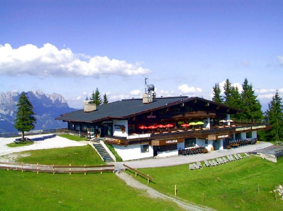
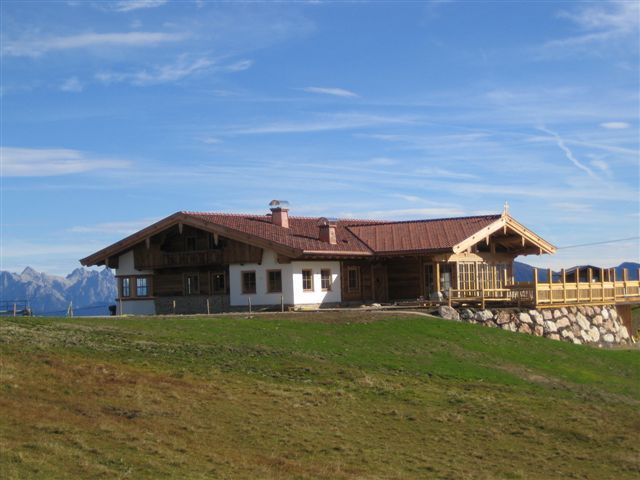
Am TrattenbachSchwarzach0.1 kmJausenstation Oberberg1.3 kmBerggasthof Bavaria1.5 kmBerg1.9 kmGasthaus Hochlechen2.6 kmTanzbodenalm6.4 kmSchmiedalm (1,292 m)9.6 kmGasthof Hochschwendt11.1 kmÖderberggraben12.2 kmSchwarzach13.7 km
- Highest point
- 1,590 m
GPS Downloads


Trail conditions
Asphalt
Gravel
Meadow
Forest
Rock
Exposed
Other tours in the regions
-
Wilder Kaiser
1944
-
Scheffau am Wilden Kaiser
614


