© Hotel Brandstetterhof - Bergwanderführer Hotel Der Brandstetterhof
- Difficulty
-
easy
- Rating
-
- Route
-
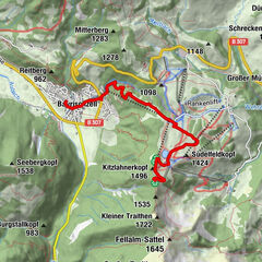
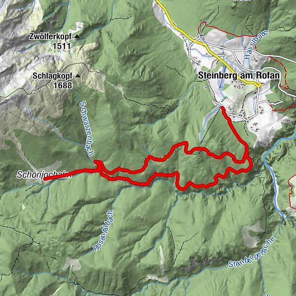
Schönjochalm5.5 km
- Best season
-
JanFebMarAprMayJunJulAugSepOctNovDec
- Highest point
- 1,288 m
- Endpoint
-
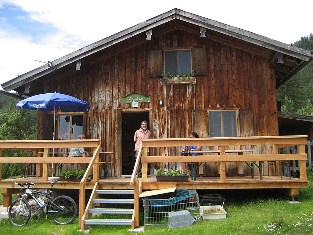
Schönjochalm
- Height profile
-

-

-
AuthorThe tour Wanderung zur Schönjochalm is used by outdooractive.com provided.
GPS Downloads


Other tours in the regions
-
Achensee
1361
-
Steinberg am Rofan
403