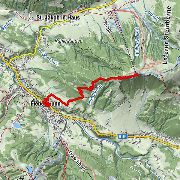
Von Fieberbrunn aus auf die Buchensteiwand zum Jakobskreuz
Hiking
Which problem do you want to report on this tour?

Österreichs Wanderdörfer
Tour data
4.57km
779
- 1,430m
618hm
02:22h
Österreichs Wanderdörfer
GPS Downloads


General info
Refreshment stop
Cultural/Historical
A lot of view
Other tours in the regions
-
Pillerseetal
1792
-
Fieberbrunn
410


