Winter
Summer
Weather
Webcams
Accommodations
Tours
Search history
Search suggestions
No results found
Search
Tours
Home
Summer Österreich
Tyrol
Tours
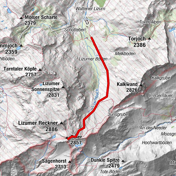
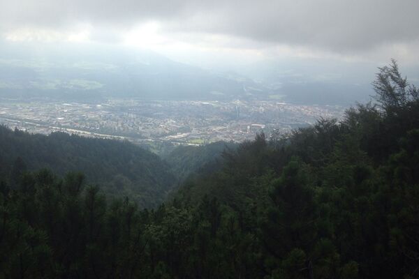
Geier
Regions
Weather
Webcams
Tours
Highlights
Bathing lakes
Accommodations
Offers
Sports provider
Events
Ski resorts
Cross-country skiing
Snow parks
Geier
Hiking
Bookmark
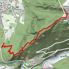
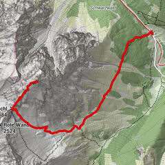
Map
show
hide
Print
Tour data
-
-
Distance
-
Ascent
04:30
h
Duration
created am 04.10.2014
499
Views
Difficulty
easy
Rating
Technique
Fitness
Landscape
Experience
Best season
Jan
Feb
Mar
Apr
May
Jun
Jul
Aug
Sep
Oct
Nov
Dec
Write a review
Overall rating
5
0
%
4
0
%
3
0
%
2
0
%
1
0
%
Reviews
(0)
0 Comments
Write a review
Error
An error has occurred. Please try again.
Thank you for your review
Rating has been deleted
Report tour
GPS Downloads
GPX
GPS Exchange Format (XML)
KML
Google Earth, Google Maps
QR Download Codes for Mobile Phones
Geier
QR Codes - tour download for cell phones
GPX
KML
Other tours in the regions
Tux - Finkenberg
989
Hintertuxer Gletscher
261
Popular tours in the area
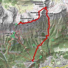
Von der Hungerburg über Arzler Scharte und Goetheweg zur Hafelekarbahn
medium
Hiking
10.42
km |
1615
hm |
03:39
h
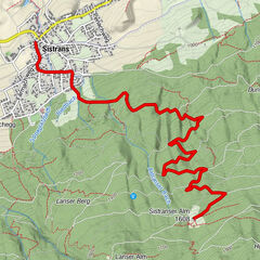
Von Sistrans auf die Sistranseralm
medium
Hiking
5.62
km |
668
hm |
05:00
h
Steinerkogl
medium
Hiking
2.26
km |
532
hm |
01:30
h
Serles (2.717m)
medium
Hiking
8.79
km |
1034
hm |
04:30
h
No entries found.
The search is currently not available.
Please refine your search.
Local search results
(<= 25km)
More results
(> 25km)
%count% Search results
%name%
%type%
%elevation%
%population%
%lpButton%