
© Hotel Brandstetterhof - Wanderhotel Der Brandstetterhof
- Difficulty
-
difficult
- Rating
-
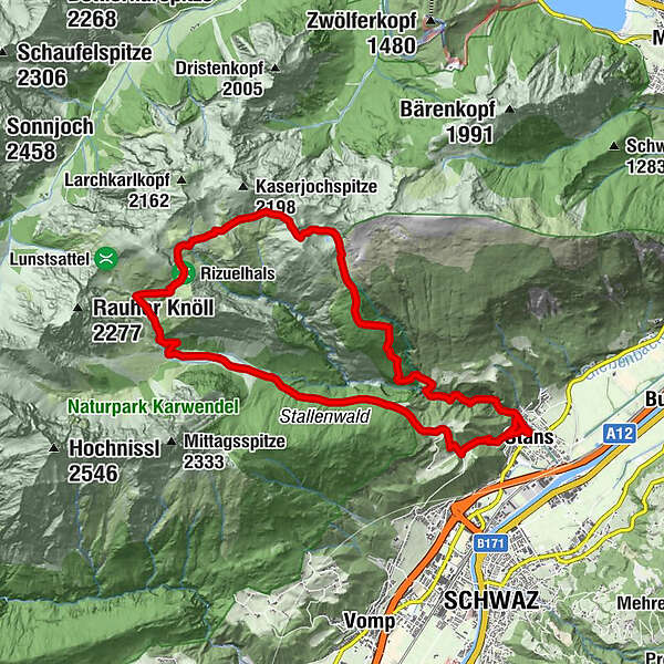
- Route
-
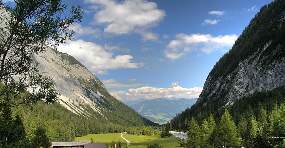
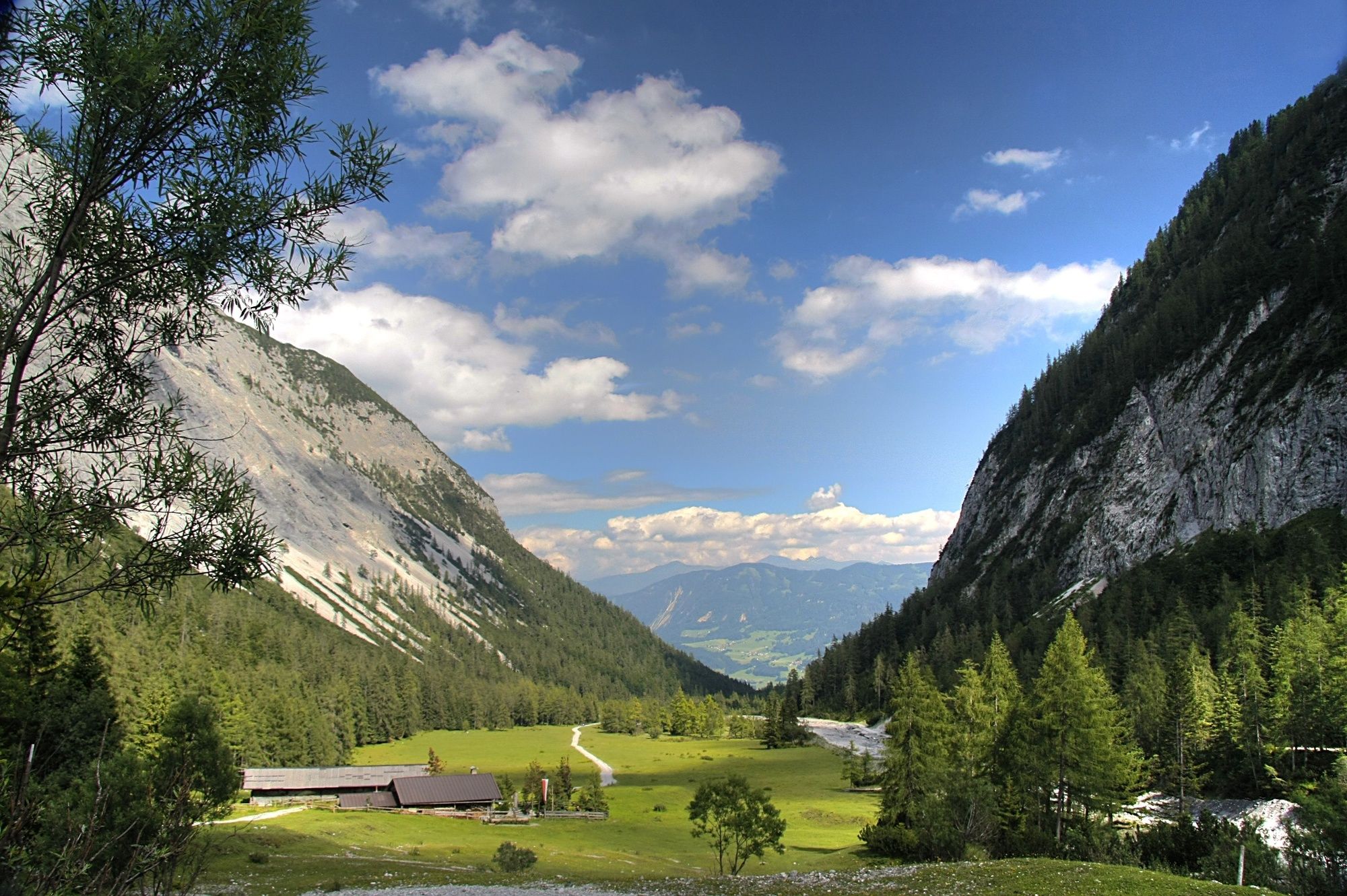
StansHohe Brücke2.6 kmSt. George's Mountain2.8 kmLindenkirche2.9 kmStallenalm12.6 kmGasthof Marschall19.8 kmStans19.8 km
- Best season
-
JanFebMarAprMayJunJulAugSepOctNovDec
- Highest point
- 2,008 m
- Endpoint
-
Stallenalm
- Height profile
-

-

-
AuthorThe tour Wanderung zum Ochsenkar is used by outdooractive.com provided.
GPS Downloads


General info
Refreshment stop
Flora
Other tours in the regions
-
Silberregion Karwendel
1344
-
Vomp
407


