Ried - Hintersteiner See

Logo Ried - Hintersteiner See
Tour data
10.35km
612 - 1,004m
Distance
534hm
349hm
Ascent
02:31h
 
Duration
Brief description

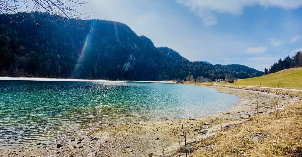
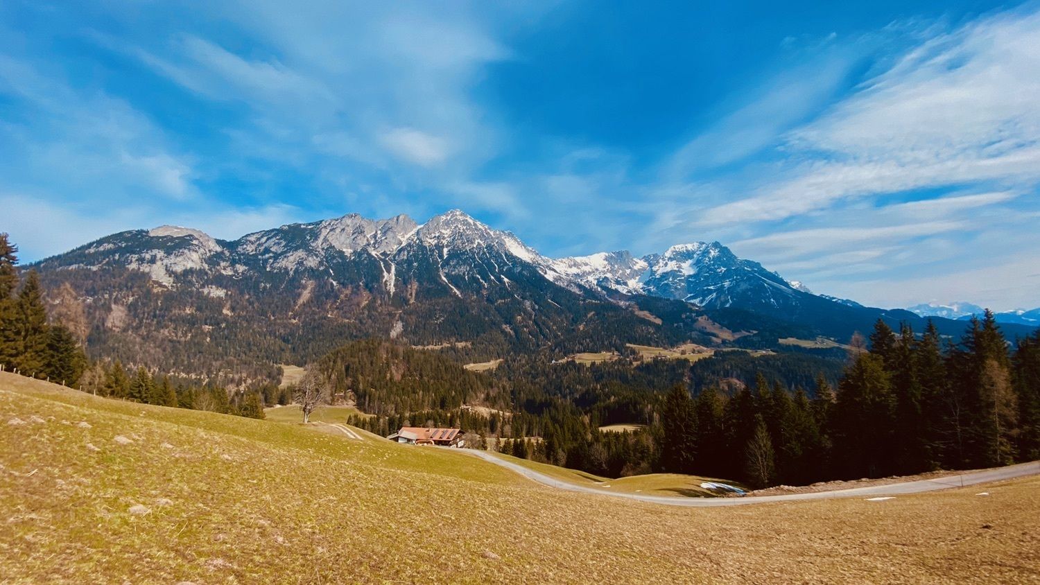
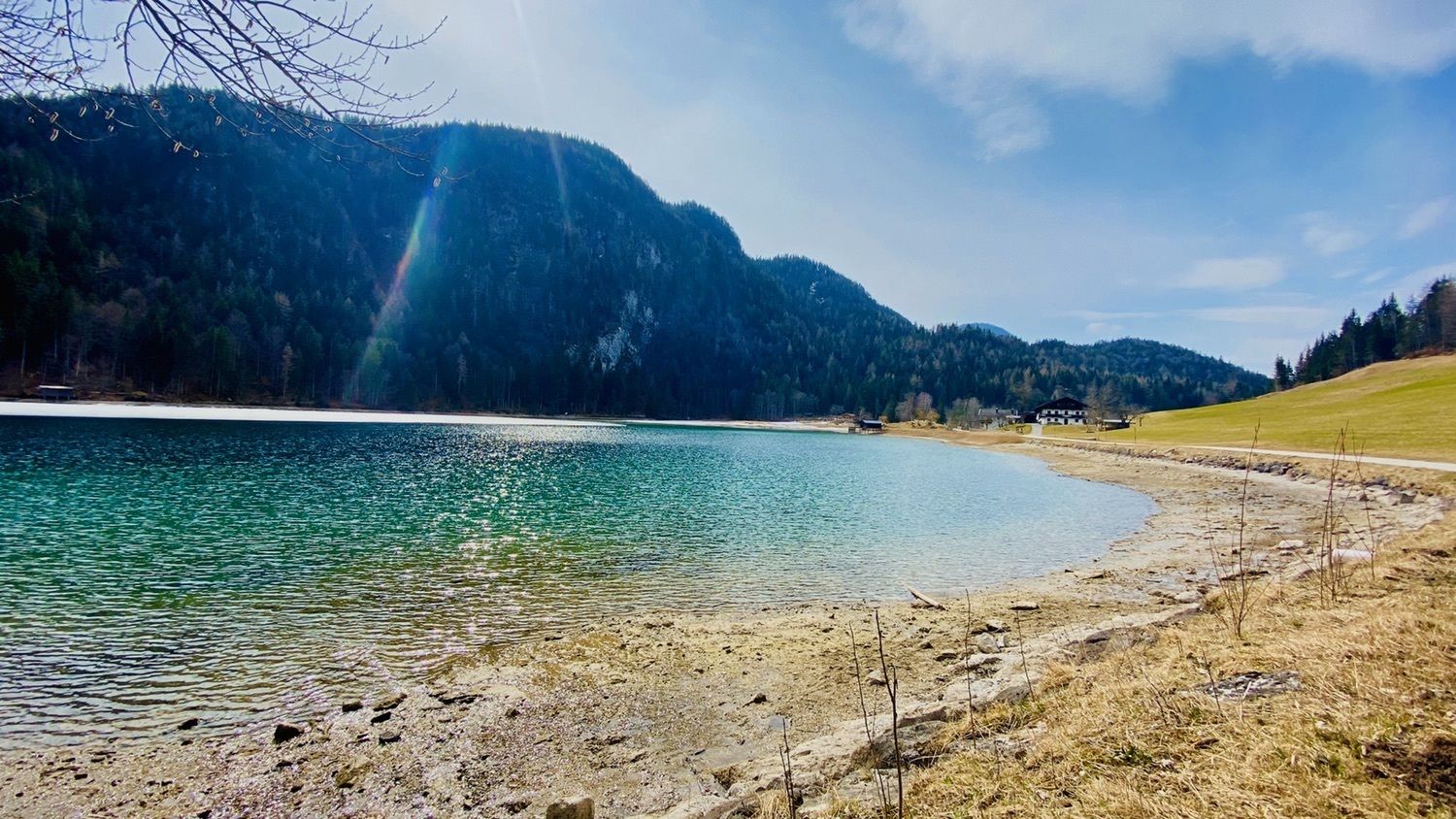
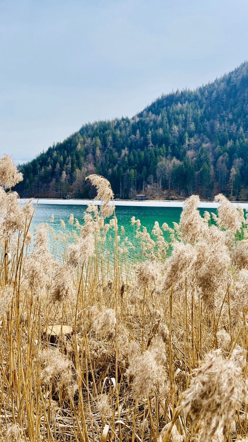
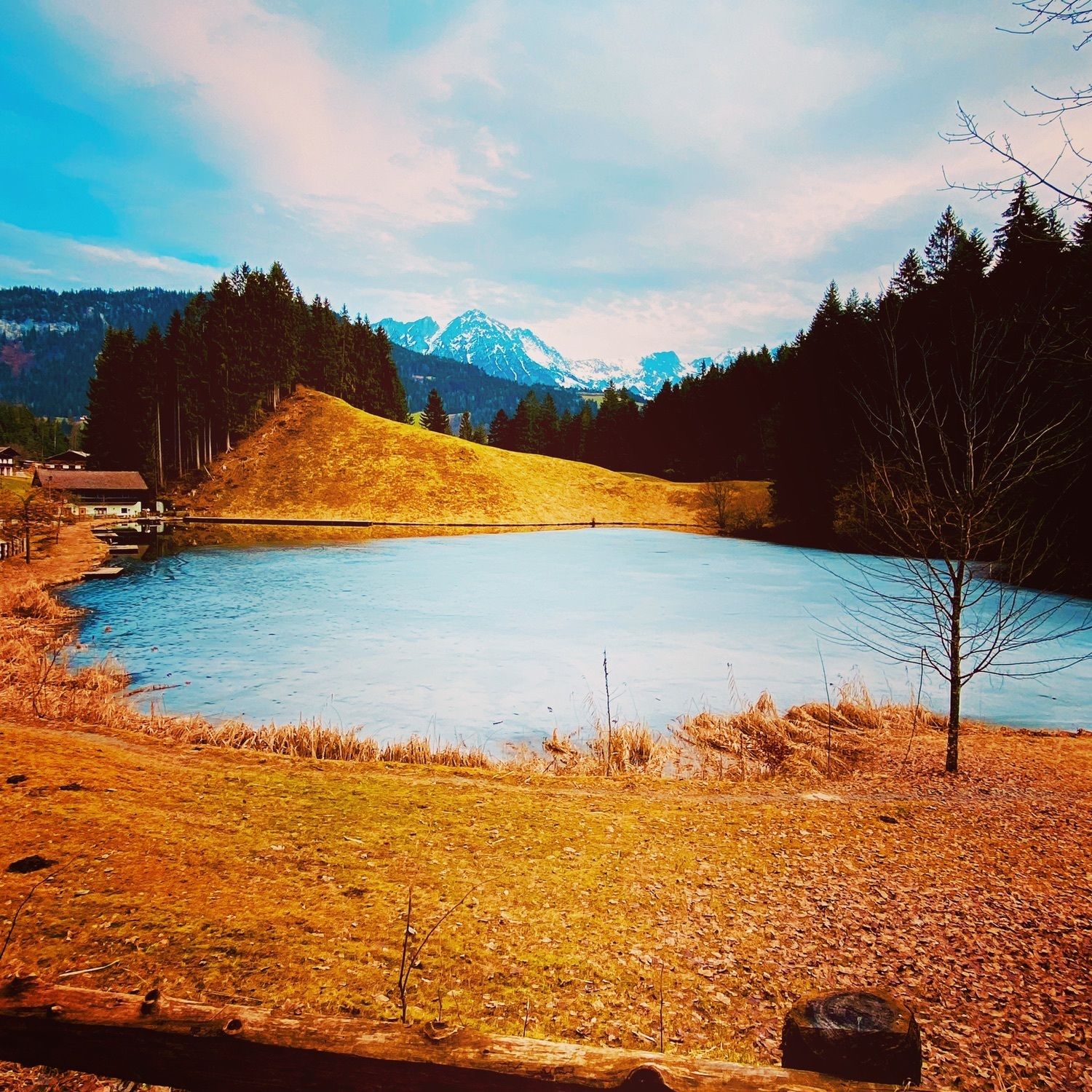
Schöne Wanderung zum Hintersteiner See

Difficulty
easy
Rating
Technique
Fitness
Landscape
Experience
Route
Agerhof
0.5 km
Reit
1.3 km
Dorfbichl
3.1 km
Stockach
4.8 km
Achleitberg
7.5 km
Schupfen
9.0 km
Hochegg
9.7 km
Greidern
10.1 km

Highest point
1,004 m

Overall rating

5

0

%

4

0

%

3

0

%

2

0

%

1

0

%

Error
An error has occurred. Please try again.
Thank you for your review

Rating has been deleted

GPS Downloads
  • GPX GPS Exchange Format (XML)
  • KML Google Earth, Google Maps
QR Download Codes for Mobile Phones
Other tours in the regions

Popular tours in the area

Kaisertal Rund-Wanderung

medium Hiking
13.94km | 887hm | 03:29h

Musikantensteig zur Naunspitze

medium Hiking
8.96km | 979hm | 03:28h

From Hintersteiner See to the Walleralm

medium Hiking
9.32km | 328hm | 03:15h

Rosskopf

easy Hiking
7.02km | 320hm | 03:00h