Tour data
1.88km
1,394 - 1,420m
Distance
36hm
30hm
Ascent
00:35h
 
Duration
Brief description

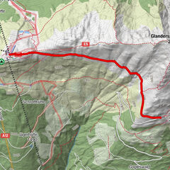
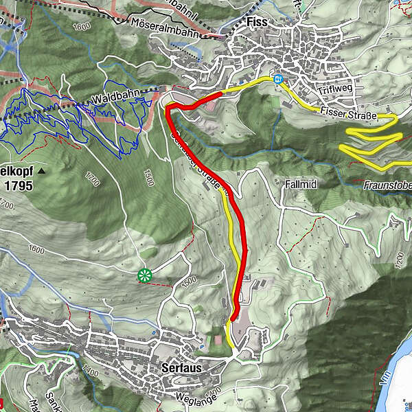
Sehr leichter, asphaltierter und beleuchteter Rad- & Wanderweg.        

Difficulty
easy
Rating
Technique
Fitness
Landscape
Experience
Best season
Jan
Feb
Mar
Apr
May
Jun
Jul
Aug
Sep
Oct
Nov
Dec
Highest point
1,420 m
Endpoint

Fiss

Height profile

Author
The tour 31 Finesweg is used by outdooractive.com provided.

Overall rating

5

0

%

4

0

%

3

0

%

2

0

%

1

0

%

Error
An error has occurred. Please try again.
Thank you for your review

Rating has been deleted

GPS Downloads
  • GPX GPS Exchange Format (XML)
  • KML Google Earth, Google Maps
QR Download Codes for Mobile Phones
Other tours in the regions

Popular tours in the area

Gogles Alm

medium Hiking
3.1km | 336hm | 04:00h

Panoramatour Venet Alm

Hiking
10.06km | 489hm | 02:30h

Augsburger Hütte - Parseierspitze

difficult Hiking
7.74km | 1760hm | 10:00h