© TVB Wipptal

© TVB Wipptal

© TVB Wipptal
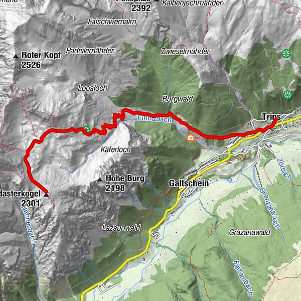
Tour data
6.75km
1,221
- 2,270m
1,068hm
05:30h
- Brief description
-
Schöne Wanderung für jederman. Herrliche Aussicht!
- Difficulty
-
medium
- Rating
-
- Starting point
-
Trins (1.235 m)
- Route
-
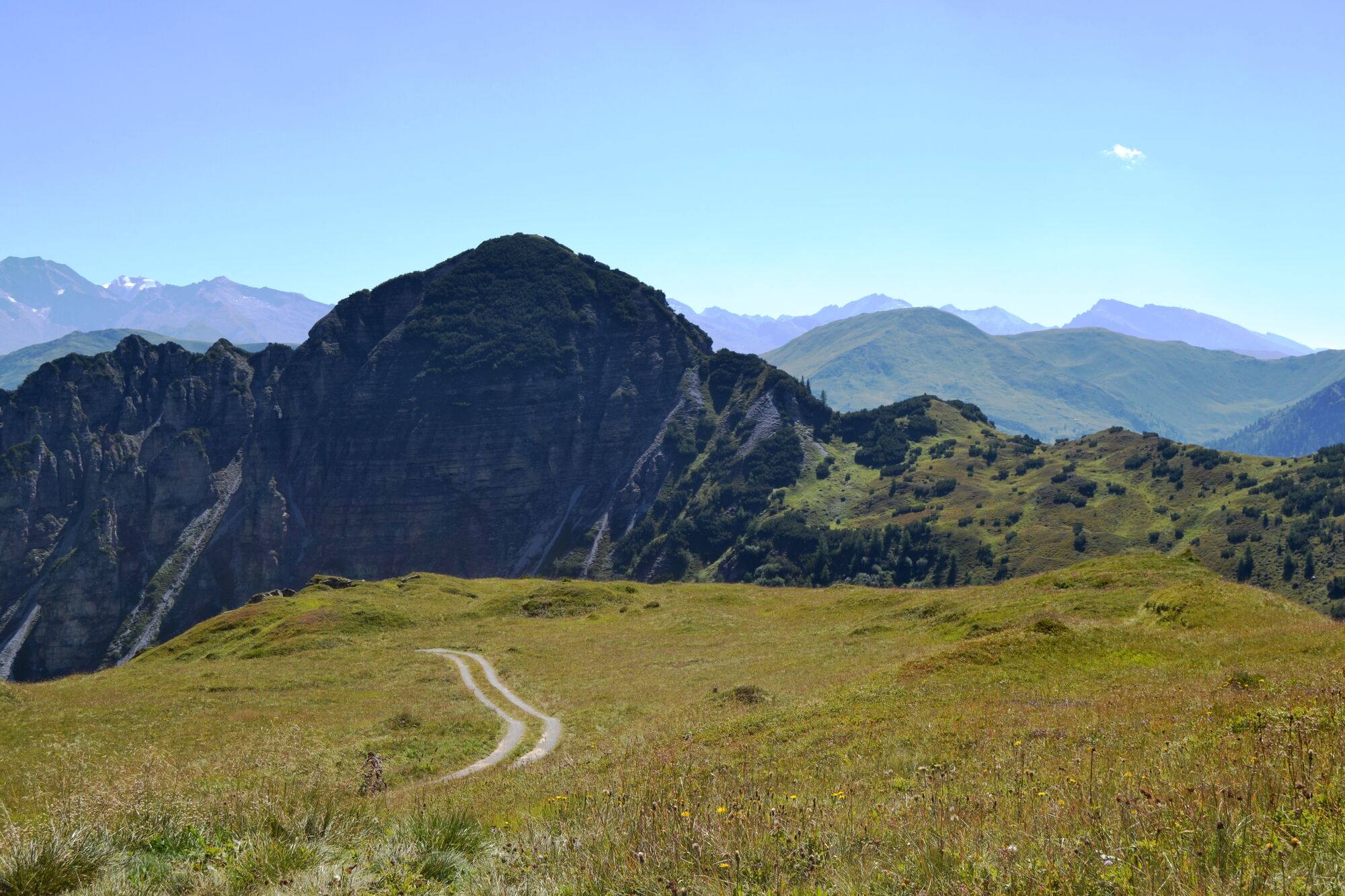
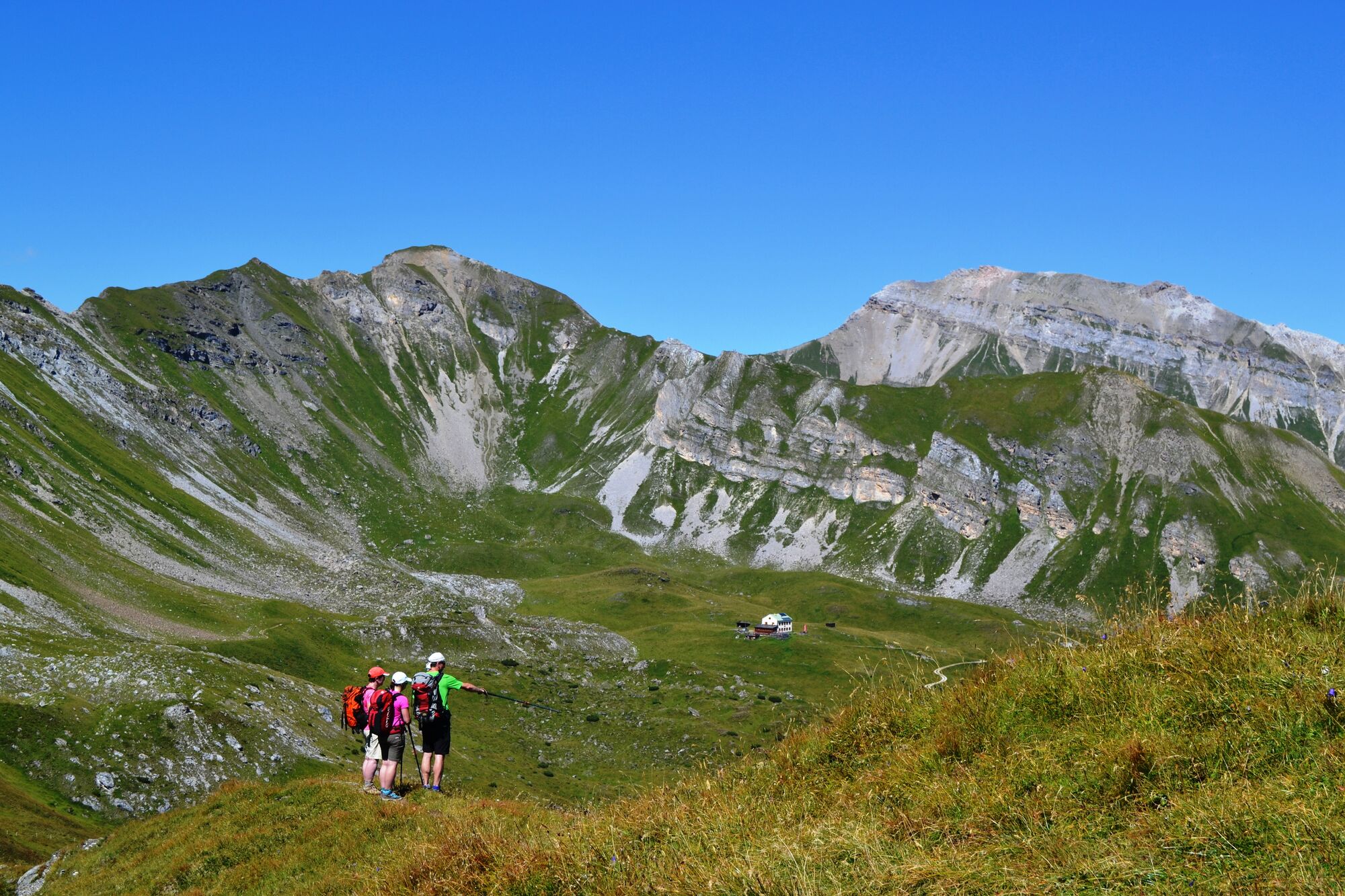
KriegergedächtniskapelleParrkirche zum hl. Georg0.0 kmTrins (1,233 m)0.1 kmCafe Max0.2 kmBarbarakapelle1.0 kmPadasterjochhaus5.5 kmPadasterjoch6.5 kmPadaster Kogl (2,301 m)6.7 km
- Best season
-
JanFebMarAprMayJunJulAugSepOctNovDec
- Highest point
- 2,270 m
- Endpoint
-
Padasterkogel
- Rest/Retreat
-
Padasterjochhaus
GPS Downloads


Trail conditions
Asphalt
Gravel
Meadow
Forest
Rock
Exposed
Other tours in the regions
-
Brixen und Umgebung
1974
-
Gschnitztal
1034
-
Trins
341