© Tourismusverband Seefeld - Region Seefeld - Bizcomburnz

© Tourismusverband Seefeld - Region Seefeld - Bizcomburnz

© Tourismusverband Seefeld - Region Seefeld - Rainer Renauer

© Tourismusverband Seefeld - Region Seefeld - Bizcomburnz

© Tourismusverband Seefeld - Region Seefeld - Bizcomburnz

© Tourismusverband Seefeld - Region Seefeld - Bizcomburnz

© Tourismusverband Seefeld - Region Seefeld

© Tourismusverband Seefeld - Region Seefeld - Bizcomburnz

© Tourismusverband Seefeld - Region Seefeld - Bizcomburnz


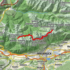
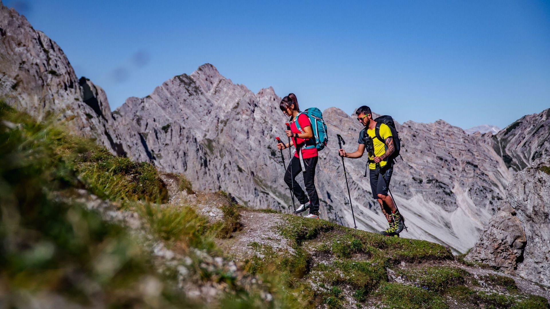
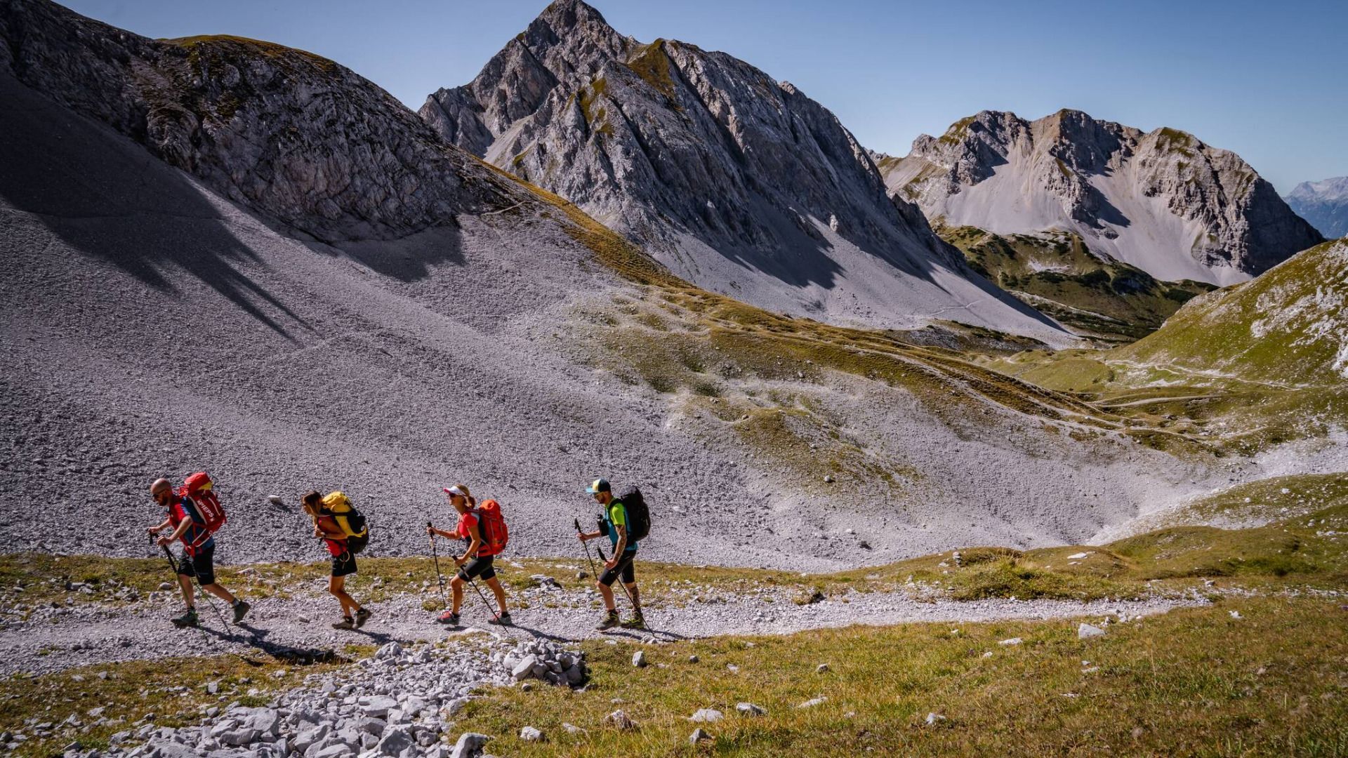
- Route
-
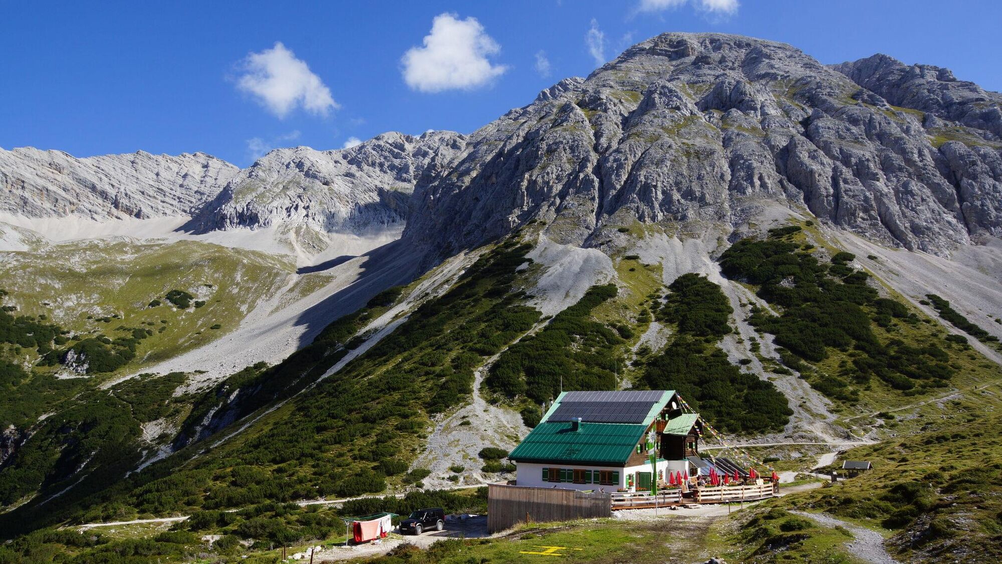
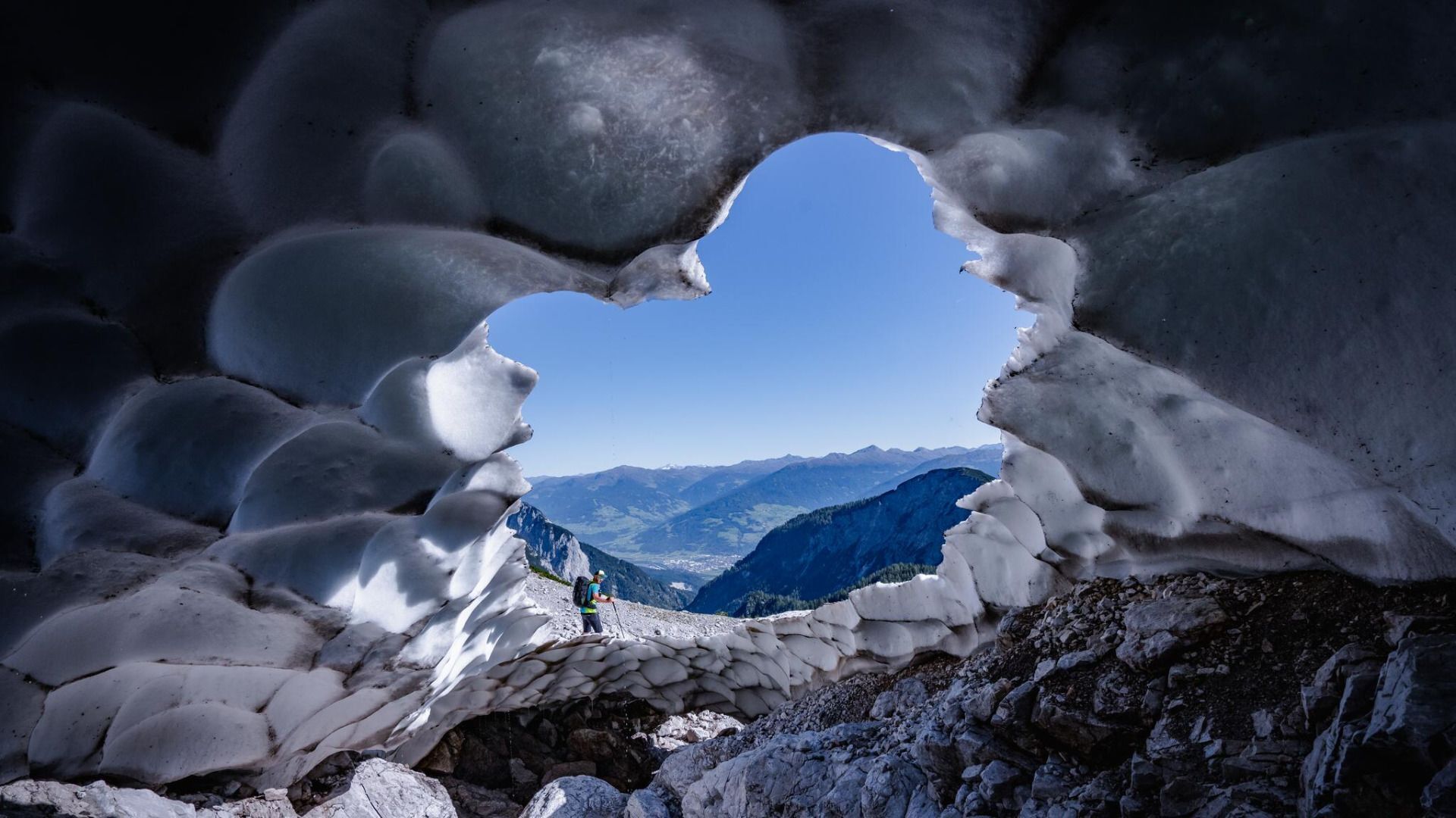
Reith bei Seefeld (1,130 m)Lus-Mähder1.7 kmStigl2.1 kmOxenleger3.0 kmHansl3.8 kmKessel4.0 kmNördlinger Hütte6.3 kmBreiter Sattel (1,794 m)8.3 kmSolsteinhaus12.3 kmErlsattel12.5 kmFrau Hitt (2,270 m)19.9 kmFrau Hitt Sattel20.1 kmGrubegg22.8 kmAlpenlounge Seegrube23.0 kmSeegrube23.2 kmKarstube24.7 kmPfeishütte29.9 kmNotraum30.0 kmPausenplatz32.4 kmKohlstatt (1,978 m)34.8 kmEisengattergrat39.8 kmGroßer Bettelwurf (2,725 m)40.5 kmBettelwurfhütte (2,077 m)42.2 kmDurchschlag47.3 kmHallerangerhaus48.1 kmIsar Ursprung55.0 kmBlick auf die Isar61.7 kmGleirschhöhe (1,069 m)62.9 kmKarwendelklamm-Blick65.2 kmScharnitz (964 m)67.6 kmScharnitz (964 m)67.8 km
- Highest point
- 2,711 m
- Endpoint
-
Naturpark-Infozentrum Scharnitz (P2)
- Height profile
-


- Author
-
The tour Karwendel Höhenweg is used by outdooractive.com provided.
GPS Downloads


Other tours in the regions