© Berg.Vital.Hotel. Alpenaussicht - Ronald Ribis
© Berg.Vital.Hotel. Alpenaussicht - Ronald Ribis
© Berg.Vital.Hotel. Alpenaussicht - Ronald Ribis

- Brief description
-
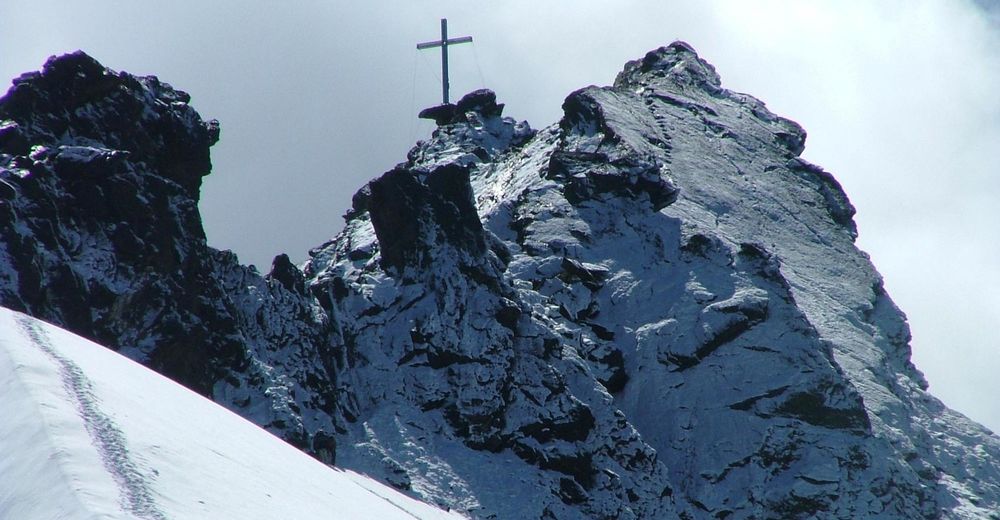
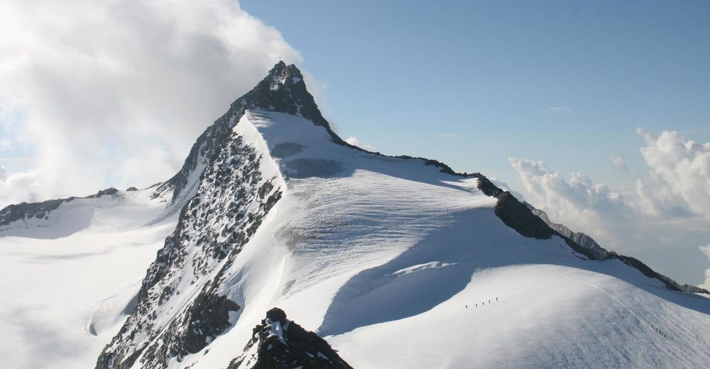
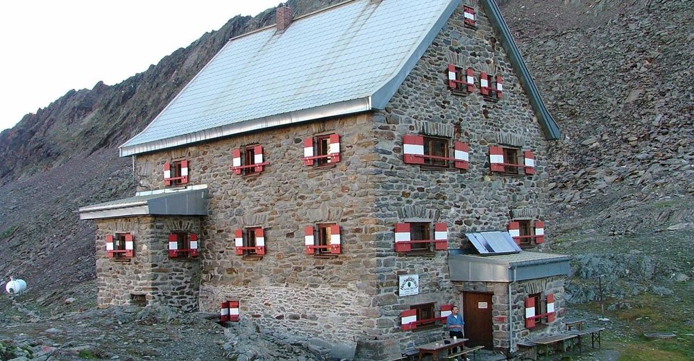
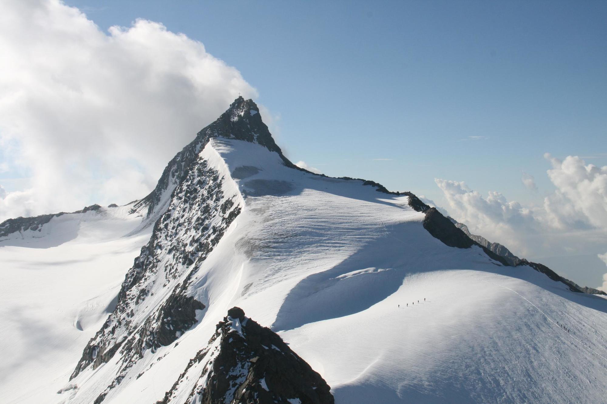
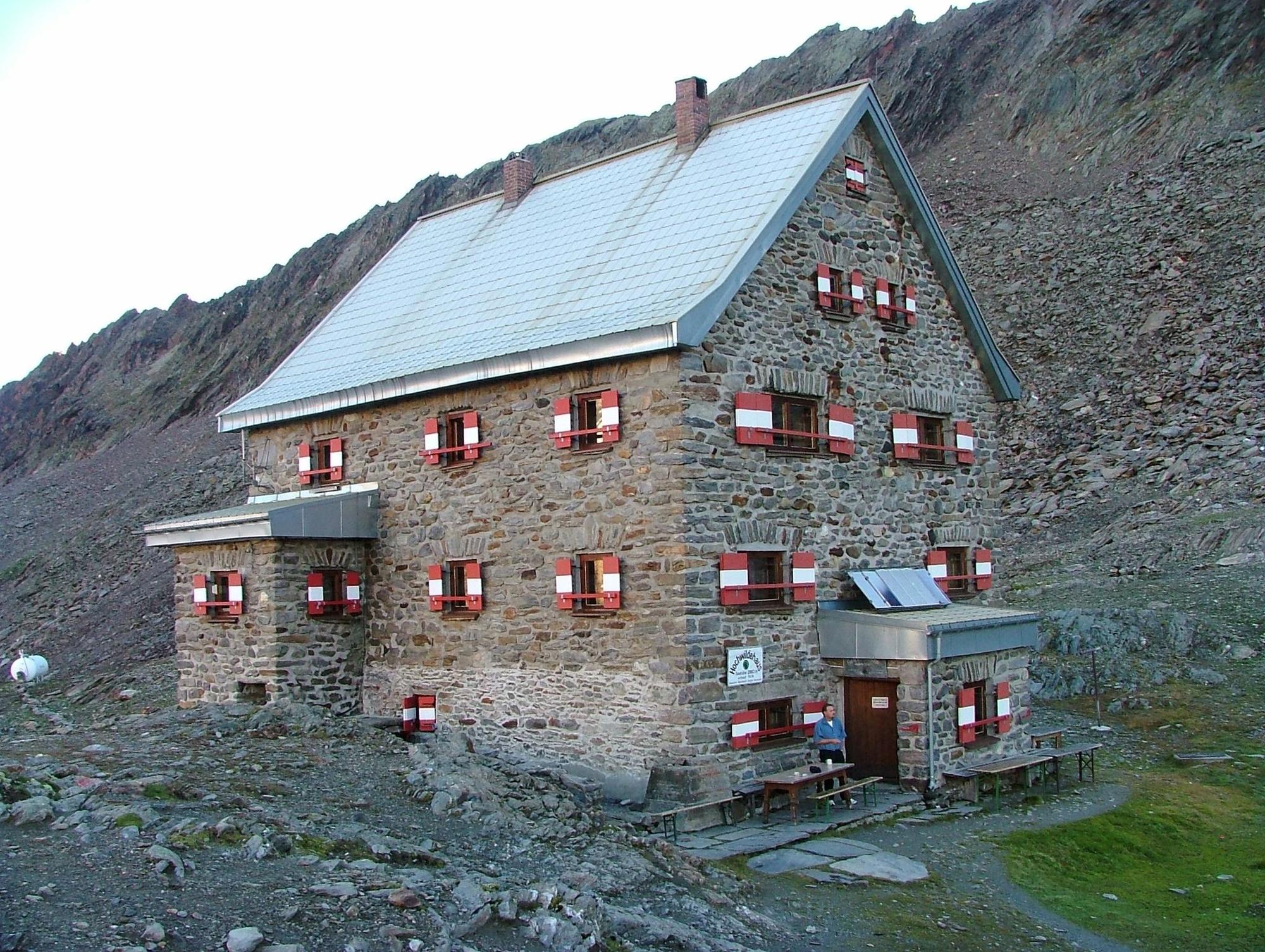
Landschaftlich wunderschöne und sehr abwechslungsreiche Hochtour mit Klettersteig passagen. Vollständige Gletscherausrüstung und Klettersteigset erforderlich.
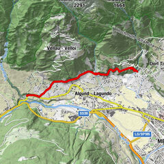
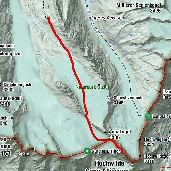
- Route
-
Annajoch3.3 km
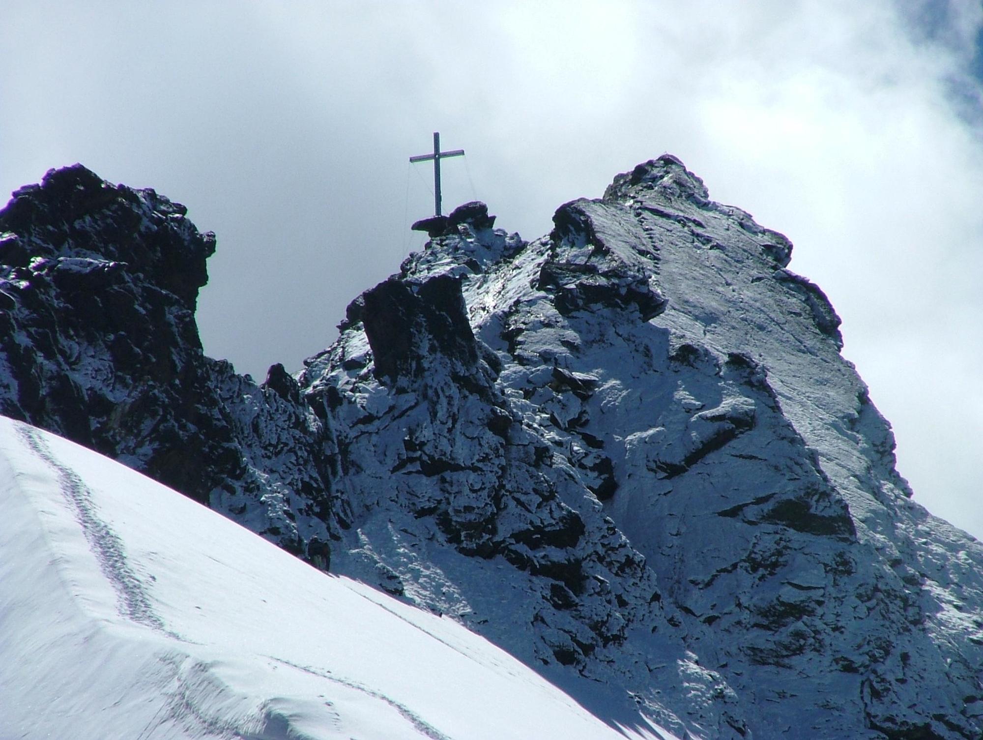
- Highest point
- 3,411 m
- Height profile
-

-
-
AuthorThe tour Hochtour vom Hochwildehaus zum Nordgipfel der Hochwilde is used by outdooractive.com provided.
GPS Downloads
Other tours in the regions
-
Meraner Land
1736
-
Schnalstal
596
-
Obergurgl - Hochgurgl
282