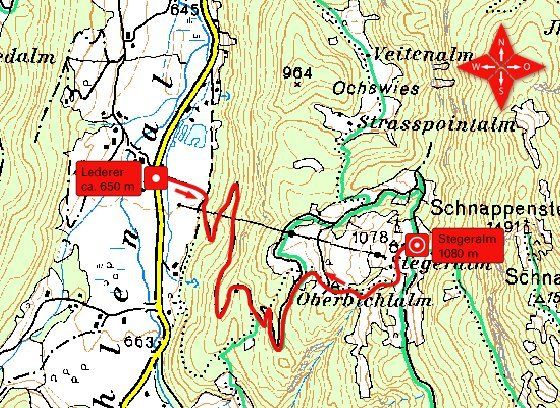
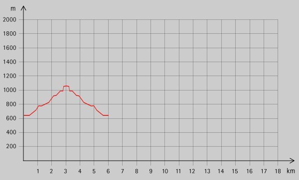
Schwendt: Stegeralm

Logo Schwendt: Stegeralm
Tour data
6.8km
650 - 1,072m
Distance
412hm
Ascent
02:30h
 
Duration
Brief description

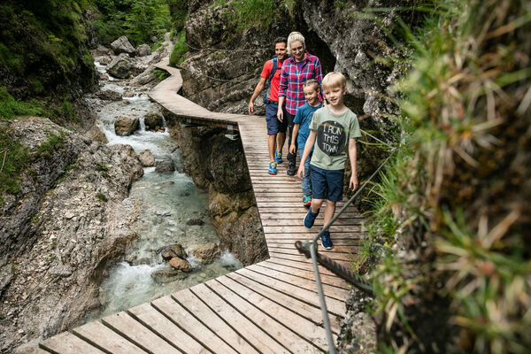
Schöne Wanderung über zwei Almen.

Rating
Technique
Fitness
Landscape
Experience
Starting point

Parkplatz beim Lederer (ca. 650 m

Route
Stegeralm
3.3 km


Highest point
1,072 m

Rest/Retreat

Entlang der Strecke sind keine Einkehrmöglichkeiten vorhanden. Beim Ausgangspunkt befindet sich das Gasthaus „Zum Fischer“

Ticket material

Info phone

0043 501 100

Link

3,0
Overall rating

5

0

%

4

0

%

3

100

%

2

0

%

1

0

%

GPS Downloads
  • GPX GPS Exchange Format (XML)
  • KML Google Earth, Google Maps
QR Download Codes for Mobile Phones

Trail conditions

Asphalt
Gravel
Meadow
Forest
Rock
Exposed
Other tours in the regions

Popular tours in the area

Ellmau: Gruttenhütte

Hiking
3.24km | 621hm | 03:00h

Erpfendorf: Griesbachklamm

medium Hiking
10km | 488hm | 04:30h

Hintersteiner See circular walk

easy Hiking
5.24km | 93hm | 01:30h

Musikantensteig zur Naunspitze

medium Hiking
8.96km | 979hm | 03:28h