
- Difficulty
-
easy
- Rating
-
- Best season
-
JanFebMarAprMayJunJulAugSepOctNovDec
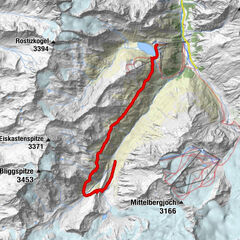
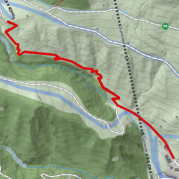
- Highest point
- 1,641 m
- Endpoint
-
Talstation Seilbahn Komperdell
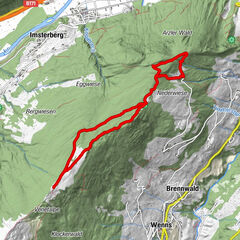
- Height profile
-

- Author
-
The tour 24 Thaleweg is used by outdooractive.com provided.
GPS Downloads


Other tours in the regions
-
Serfaus - Fiss - Ladis
934
-
Serfaus
252