© Tiroler Wanderhotels e.V. - Wohlfühlhotel Schiestl KG


- Brief description
-
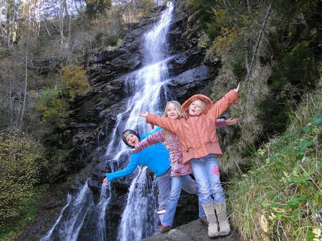
Leichte Wanderung zum Harter Schleierwasserfall.
Die Rundwanderung ist für jedermann unbeschwert begehbar. - Difficulty
-
easy
- Rating
-
- Route
-
Pfarrkirche Heiliger BartholomäusHart im Zillertal (666 m)Spielplatz/Wöxlkreuz0.5 kmSchleierwasserfall2.7 kmHaselbach3.7 kmHelfenstein4.7 kmHart im Zillertal (666 m)6.5 km
- Best season
-
JanFebMarAprMayJunJulAugSepOctNovDec
- Highest point
- 721 m
- Endpoint
-
Hart im Zillertal
- Height profile
-

-
-
AuthorThe tour Naturerlebnisweg Hart im Zillertal is used by outdooractive.com provided.
GPS Downloads


General info
Refreshment stop
Other tours in the regions