© Tiroler Wanderhotels e.V. - Aktivhotel Gaspingerhof

© Tiroler Wanderhotels e.V. - Aktivhotel Gaspingerhof

© Tiroler Wanderhotels e.V. - Aktivhotel Gaspingerhof

© Tiroler Wanderhotels e.V. - Aktivhotel Gaspingerhof

- Brief description
-
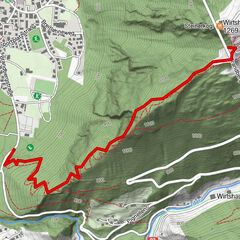
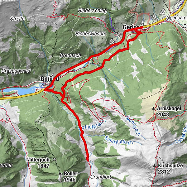
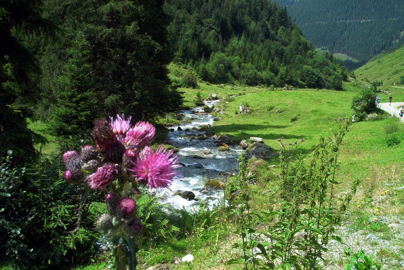
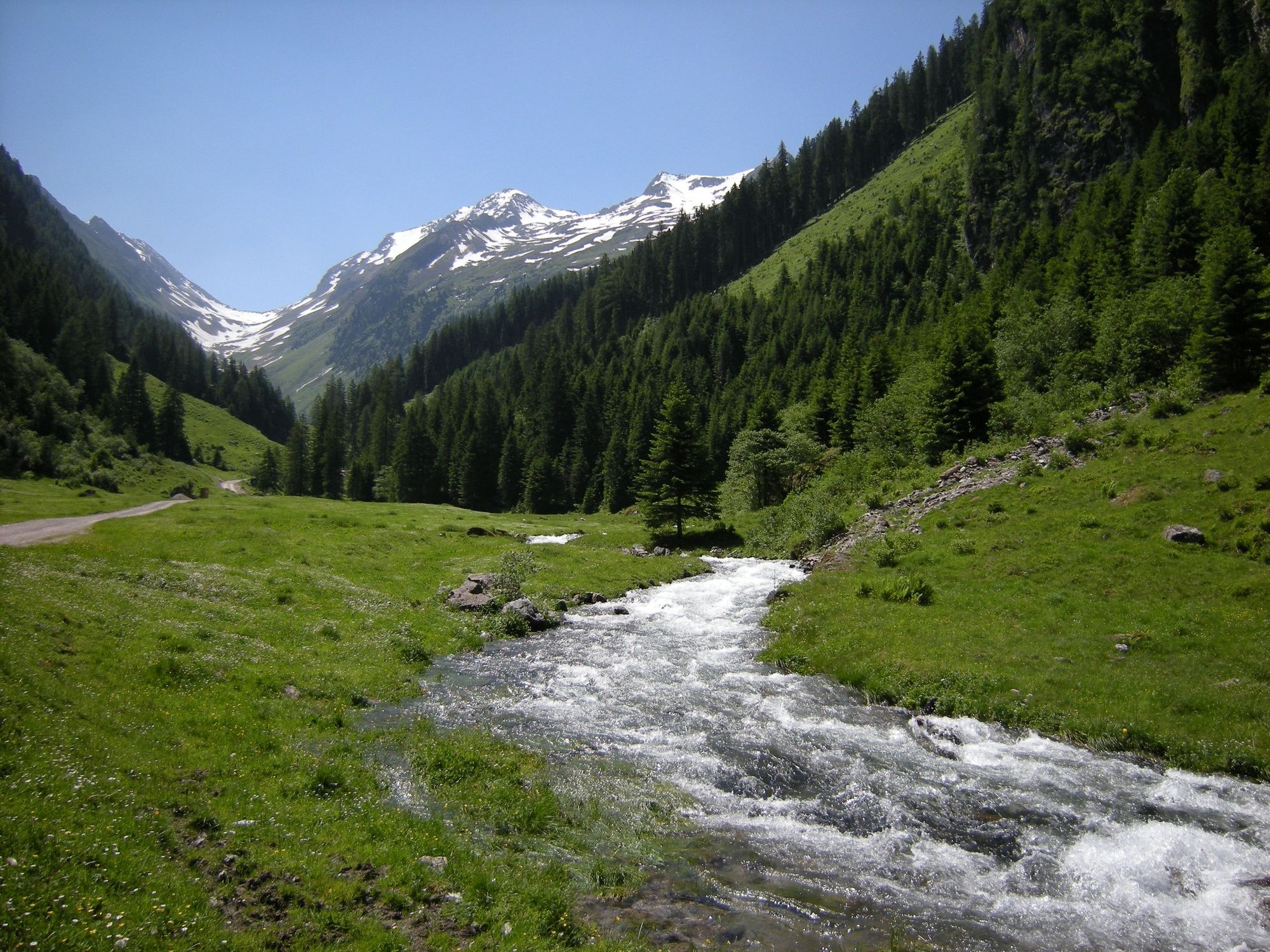
Wandern Sie entlang des Gerlosbaches nach Verlos Gmünd.
- Difficulty
-
medium
- Rating
-
- Route
-
Gerlos (1,247 m)0.2 kmGmünd3.3 kmKlammer's Jausenhütte6.3 kmGmünd8.7 kmRied11.0 kmGerlos (1,247 m)11.5 kmGaspi's Woodfired Grill11.6 km
- Best season
-
JanFebMarAprMayJunJulAugSepOctNovDec
- Highest point
- 1,373 m
- Endpoint
-
Jausenstation - Wimmertalalm
- Height profile
-

- Author
-
The tour Wimmertal is used by outdooractive.com provided.
GPS Downloads


General info
Insider tip
Other tours in the regions
-
Zillertal Arena
1313
-
Gerlos
282