© Holger Hasse

© Holger Hasse

© Holger Hasse

© Holger Hasse

© Holger Hasse

© Holger Hasse

© Holger Hasse
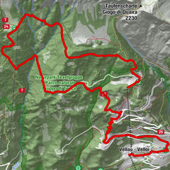
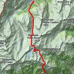
Tour data
6.33km
2,022
- 2,383m
284hm
284hm
02:30h

- Brief description
-
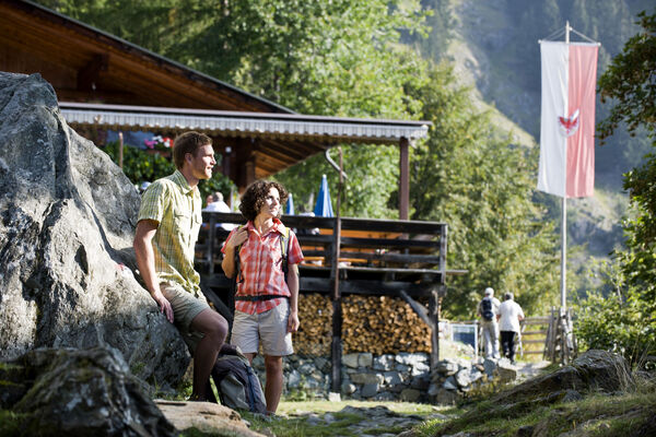
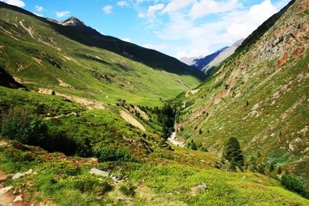
Wanderung mit Blick auf schneebedeckte 3000er-Gipfel
- Rating
-
- Starting point
-
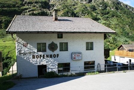
Vent bzw. Vent OT Rofen
- Route
-
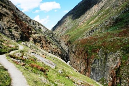
RofenGasthaus Rofenhof0.0 kmHochjoch-Hospiz6.3 km
- Best season
-
JanFebMarAprMayJunJulAugSepOctNovDec
- Highest point
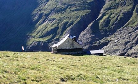
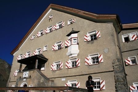
- Hochjochhospiz (2,383 m)
- Rest/Retreat
-
Rofenhöfe, Hochjochhospiz-Hütte
- Ticket material
-
Kompass Nr. 43

GPS Downloads


Trail conditions
Asphalt
Gravel
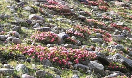
Meadow
Forest
Rock
Exposed
Other tours in the regions
-
Vinschgau
1285
-
Schnalstal
596
-
Vent
293