© Tourismusverband Region Hall-Wattens - Anne W.

© Tourismusverband Region Hall-Wattens - Hall Wattens

© Tourismusverband Region Hall-Wattens - Anne W.
© Tourismusverband Region Hall-Wattens - Anne W.

© Tourismusverband Region Hall-Wattens - Anne W.

© Tourismusverband Region Hall-Wattens - Anne W.
© Alpenverein Hall in Tirol - Gerald Aichner

© Tourismusverband Region Hall-Wattens - Anne W.

© Tourismusverband Region Hall-Wattens - Anne W.

© Tourismusverband Region Hall-Wattens - Anne W.
- Brief description
-
Alpine path along the Zirbenweg (stone pine path) and on the way back collecting 2 summits
- Difficulty
-
medium
- Rating
-
- Route
-
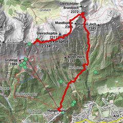
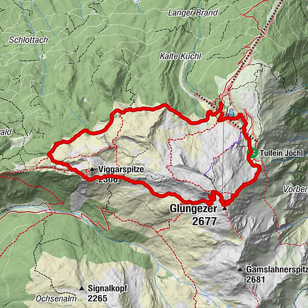
Tulfein Alm0.1 kmKapelle zum guten Hirten0.4 kmGlungezerhütte7.9 kmGlungezer (2,677 m)8.2 kmSpielplatz Zirbensee11.1 km
- Best season
-
JanFebMarAprMayJunJulAugSepOctNovDec
- Description
-
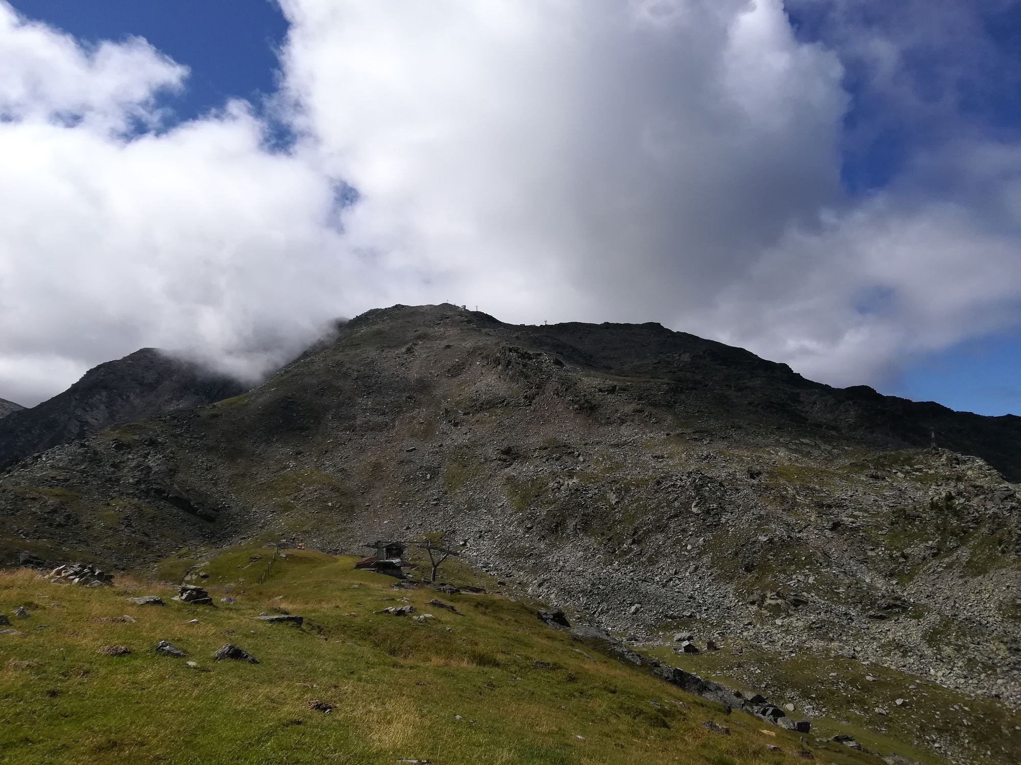
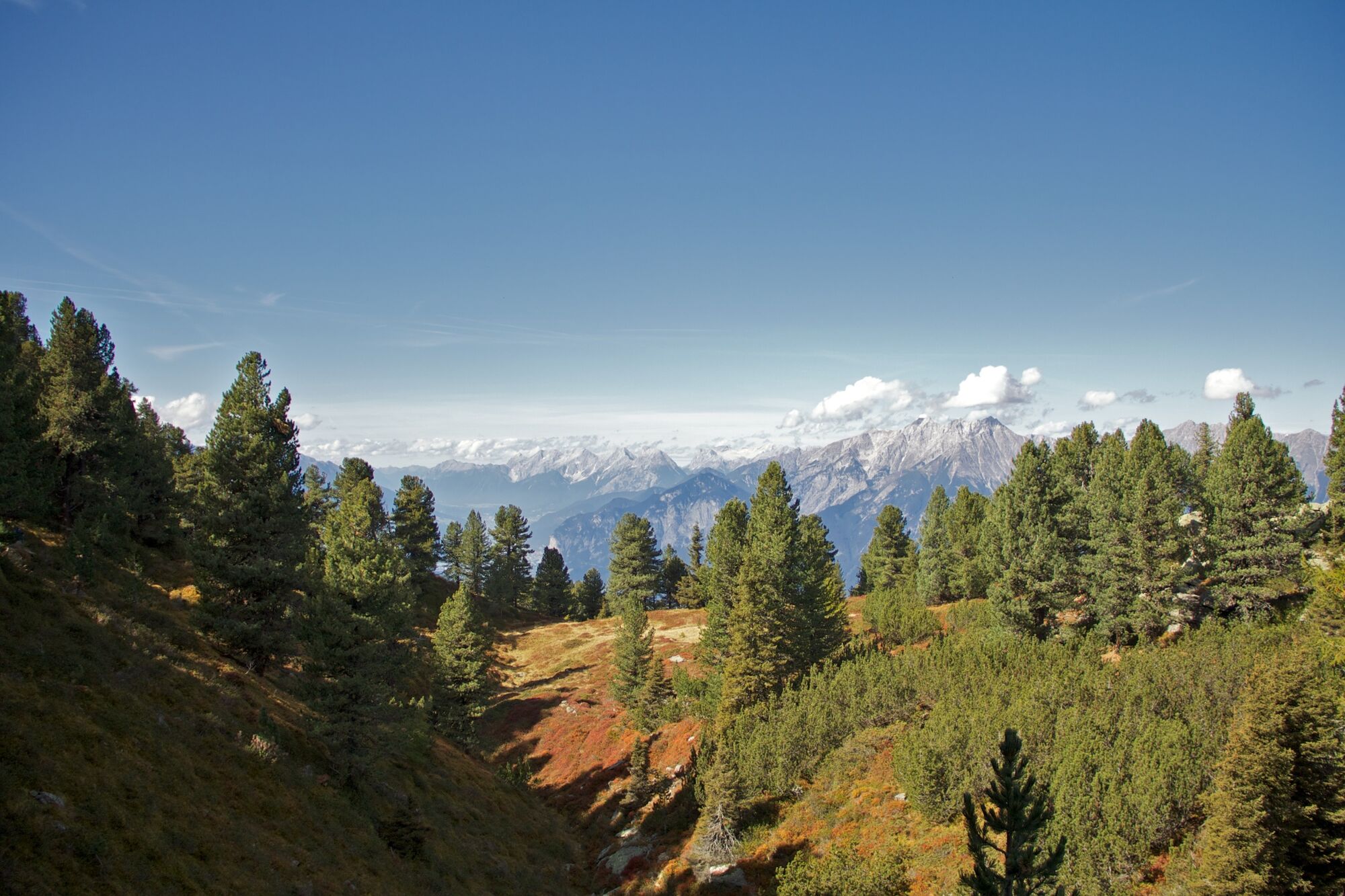
From the Glungezerbahn mountain station - on the Zirbenweg ( stone pine path) to the hut Boscheben - a short return and right onto the Glungezer Höhenweg, with a short side trip to the summits Sonnenspitze (2639 m) and the Glungezer (2678 m). Back to the Glungezerbahn mountain station.
- Directions
-
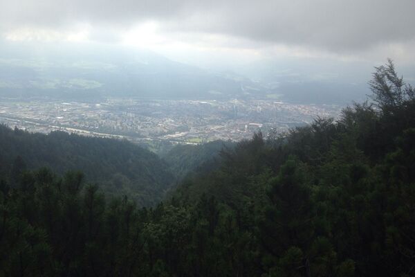
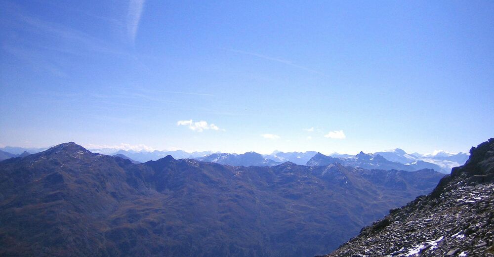
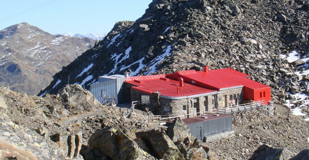
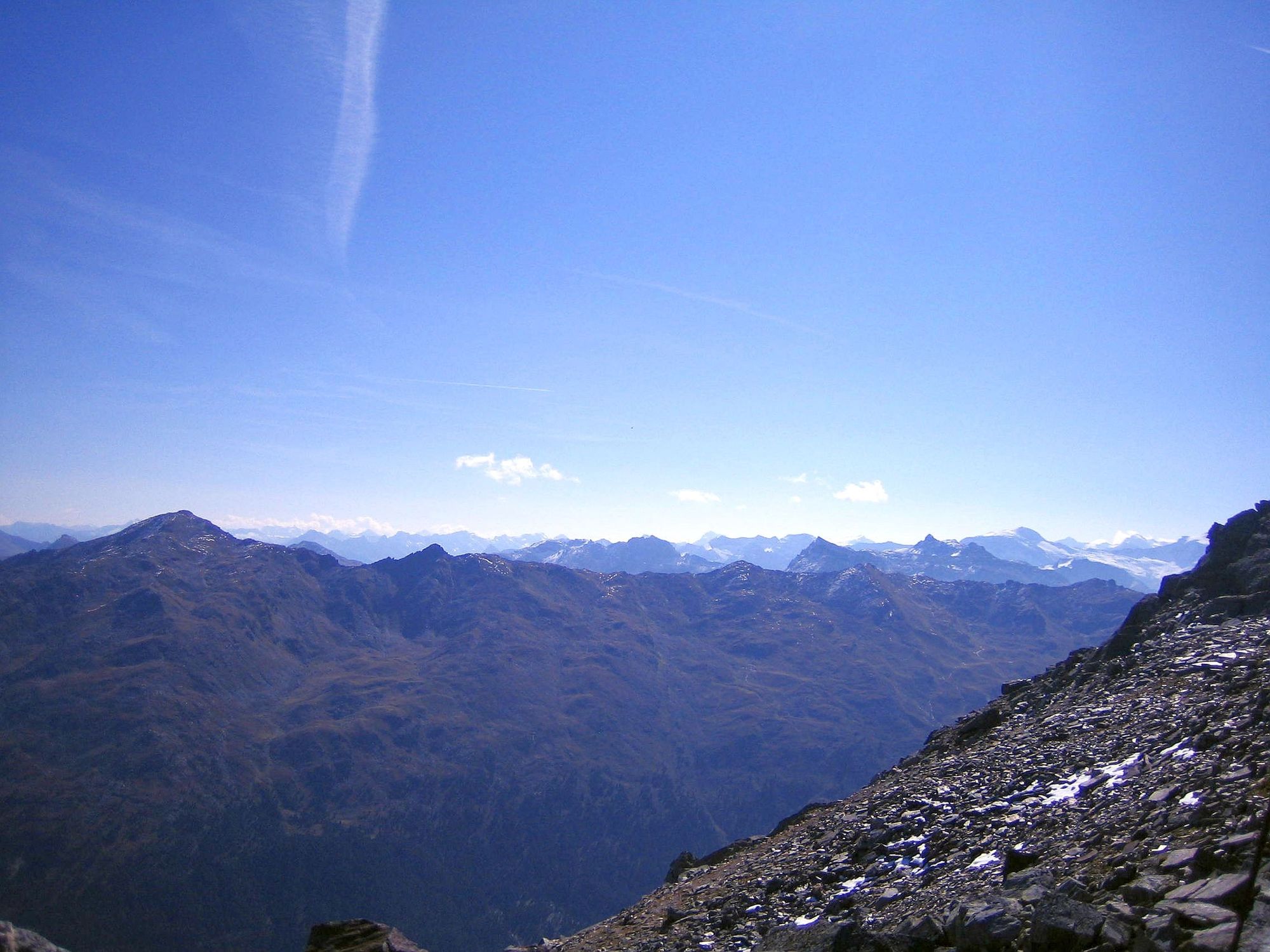
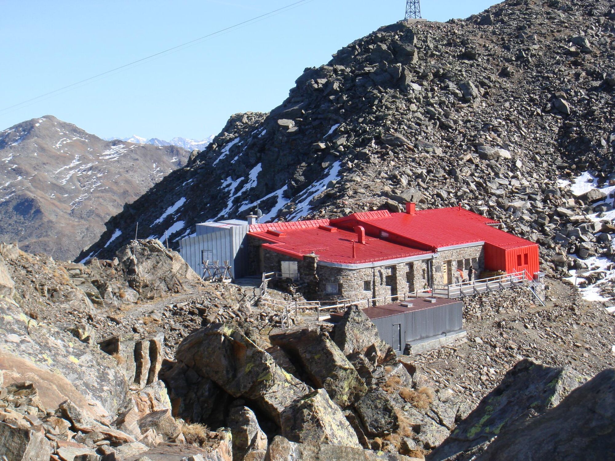
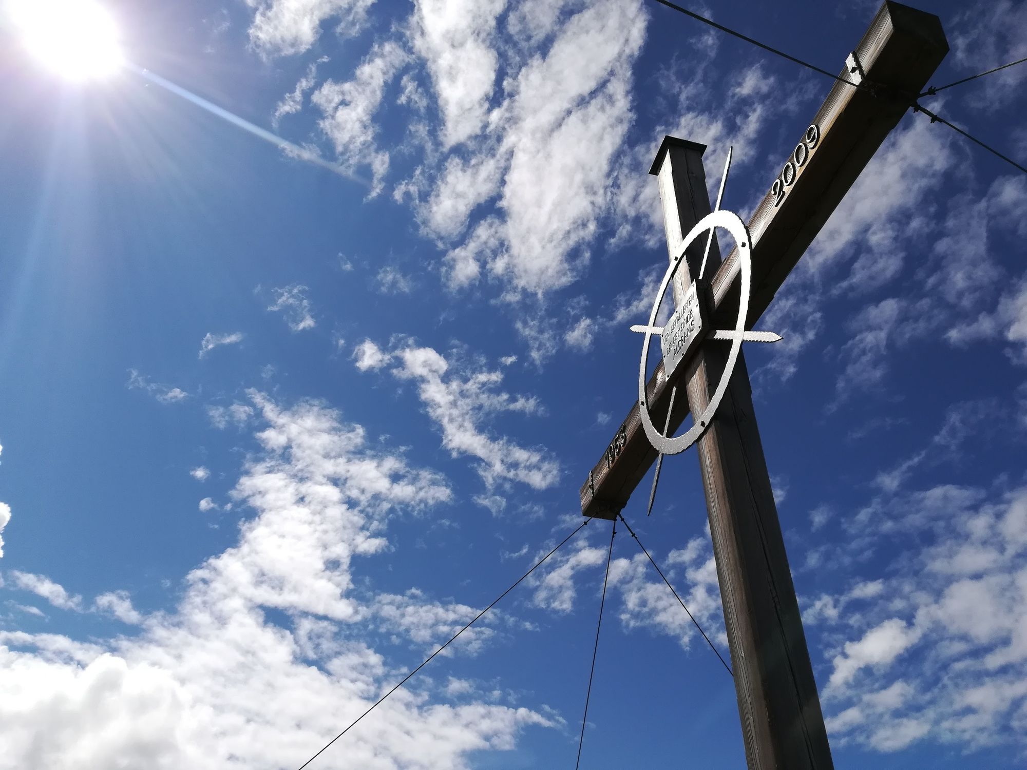
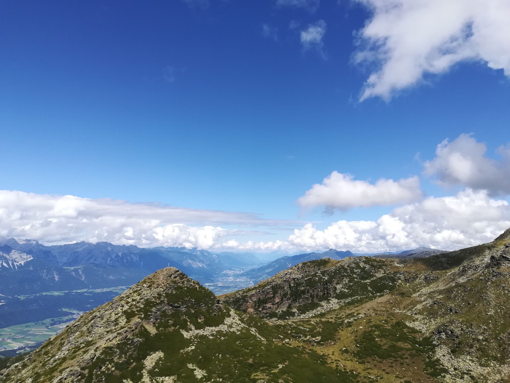
The hike starts at the Glungezerbahn mountain station. Follow the Zirbenweg (stone pine path) direction West to the Gasthof Boscheben. Before reaching Boscheben you turn to the right direction South/East and follow the Glungezer Höhenweg. The path leads us below the Viggarspitze in about 2 hours to the Glungezerhütte. A side trip to the summits Sonnenspitze (2639 m) and Glungezer (2678 m) would be worthwhile here. The Glungezer captivates with a magnificent 360° view of "500 peaks, ridges and yokes".
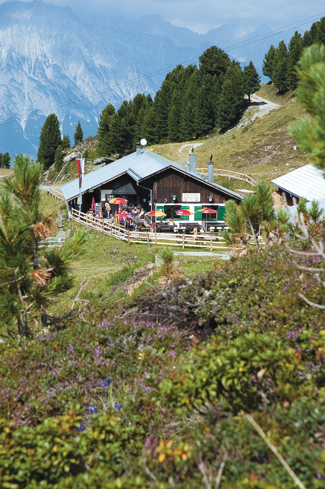
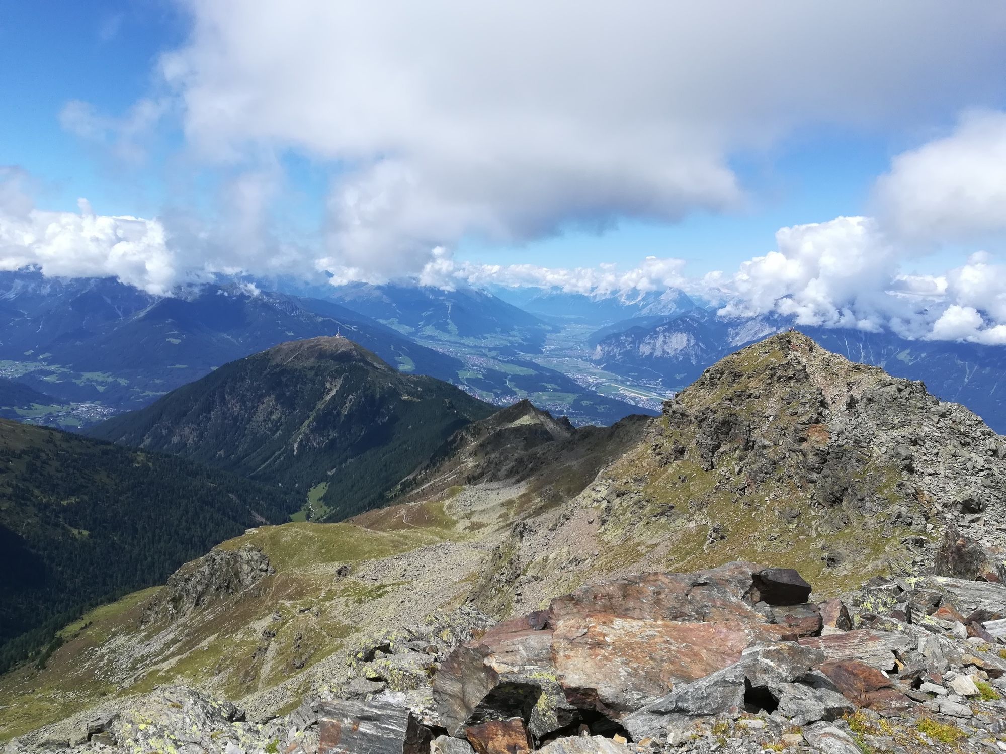
The descent takes you on the "Panoramasteig" in 1.30 hours or via the "Hirschvoglsteig" to the Tulfeinalm. Here you can take the Glungezerbahn to come town to Tulfes again.
- Highest point
- 2,662 m
- Endpoint
-
Glungezer, Tulfeinalm
- Height profile
-

- Tips
-
A side trip to the summit Viggarspitze (approx. 20min from the actual path) makes this tour a 3 summit tour!
- Public transportation
-
Bus 4134
- Parking
-
Glungezerbahn


-

-
AuthorThe tour A hike around the Glungezer Summit is used by outdooractive.com provided.
GPS Downloads


General info
Refreshment stop
A lot of view
Other tours in the regions