Tour data
3km
856
- 1,330m
490hm
490hm
02:00h
- Difficulty
-
medium
- Rating
-
- Starting point
-
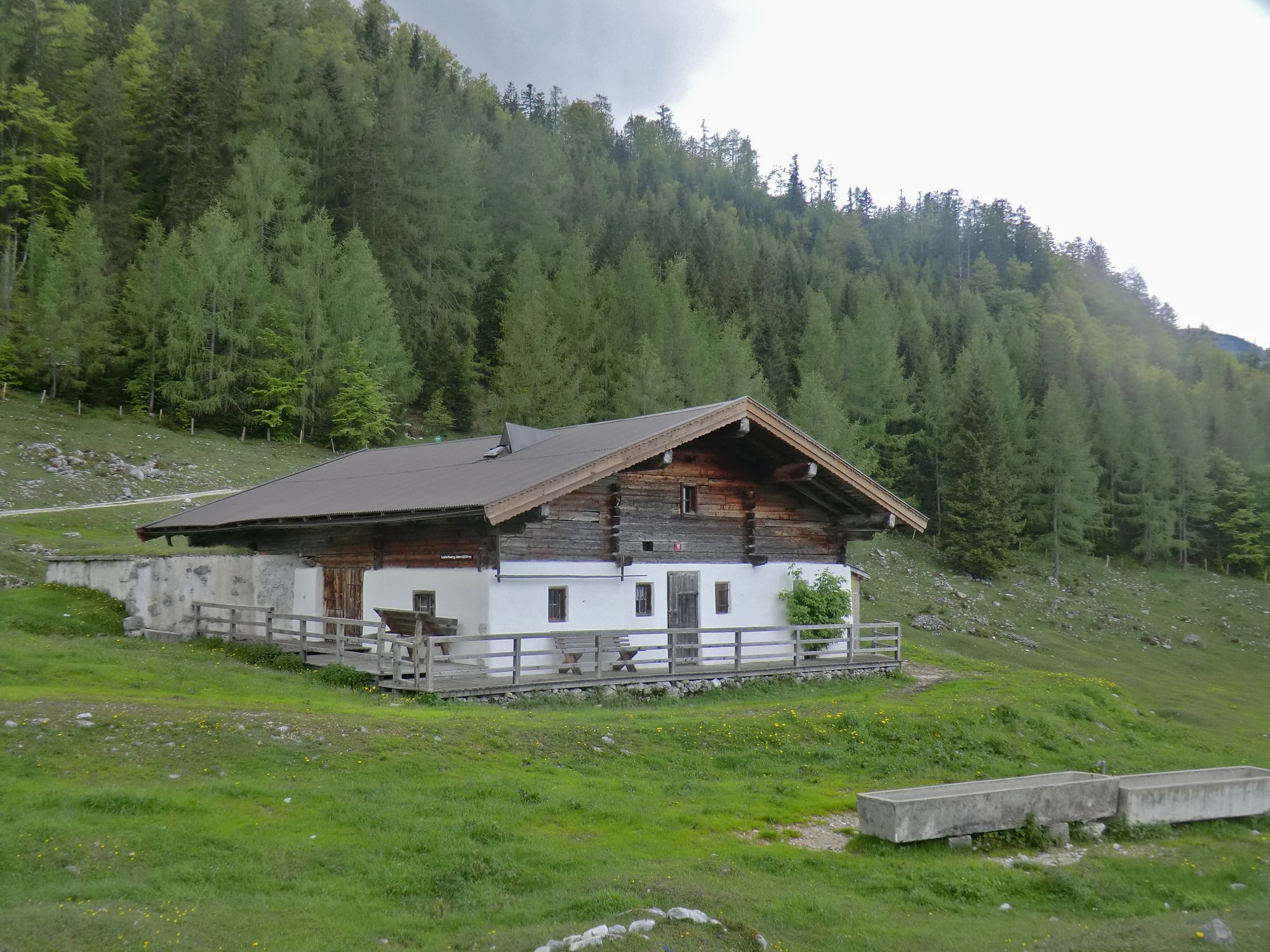
Bauernhof Lehrberg
- Route
-
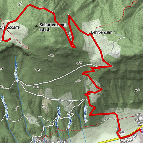
Lehrbergalm1.9 kmHohe Scharte3.5 km
- Best season
-
JanFebMarAprMayJunJulAugSepOctNovDec
- Description
-
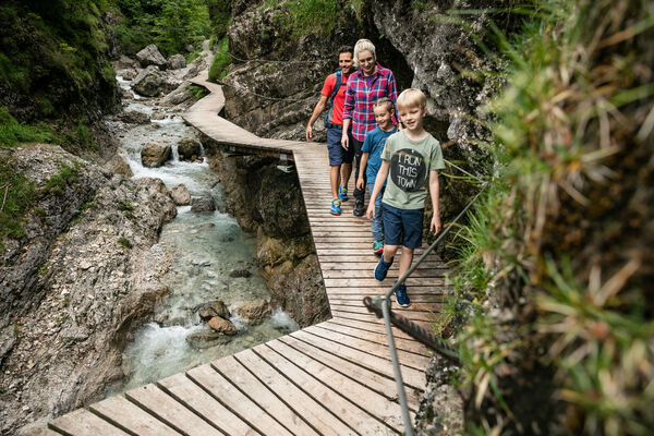
Starting point: Weiler Lehrberg, pass the farmhouse
Lehrberg (close to the bus stop) and walk straight
ahead following the sign to the Lehrbergalm. There
you have two hiking possibilities to choose from: The
challenging trail leads via the Höhenweg and through
the forest to the Schartenalm. Easier alternative: via the
forest road to the Schartenalm. - Highest point
- 1,330 m
- Ticket material
-
in allen Tourismusverbänden im PillerseeTal
- Info phone
-
+43 (0)5354 56304
- Link
- https://maps.pillerseetal.at/#resourceDetail,13...
GPS Downloads


Trail conditions
Asphalt
Gravel
Meadow
Forest
Rock
Exposed
Other tours in the regions
-
Pillerseetal
1768
-
St. Jakob in Haus
405