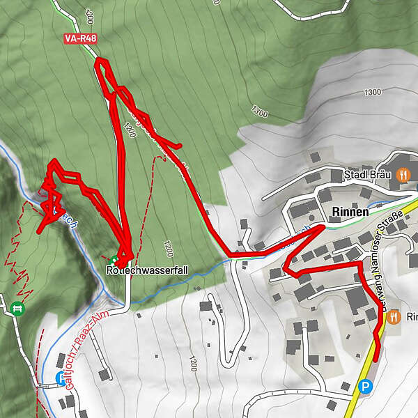
Von Rinnen ins Rotlechtal

Logo Von Rinnen ins Rotlechtal
Tour data
2.7km
1,112 - 1,262m
Distance
152hm
111hm
Ascent
00:54h
 
Duration
Brief description

Einfache Wanderung mit schönem Blick auf den Wasserfall

Difficulty
easy
Rating
Technique
Fitness
Landscape
Experience
Route
Rotlechwasserfall
1.4 km
Rinnen
2.3 km
Rimmlstube
2.6 km
Highest point
1,262 m

Overall rating

5

0

%

4

0

%

3

0

%

2

0

%

1

0

%

Error
An error has occurred. Please try again.
Thank you for your review

Rating has been deleted

GPS Downloads
  • GPX GPS Exchange Format (XML)
  • KML Google Earth, Google Maps
QR Download Codes for Mobile Phones
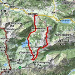
Other tours in the regions

Popular tours in the area

Drehhütte

easy Hiking
3.34km | 517hm | 02:30h

Adlerhorst und Haldensee

easy Hiking
8.86km | 264hm | 02:30h

Elmen-Stablalm

medium Hiking
4.77km | 367hm | 01:30h