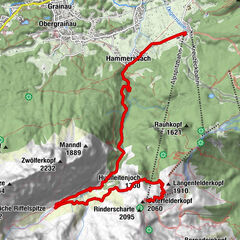
Tour data
8.35km
650
- 1,689m
981hm
981hm
03:50h

- Difficulty
-
easy
- Rating
-
- Starting point
-
Ortsmitte Pfaffenhofen
- Route
-
Gasthof Schwarzer AdlerPfarrkirche Mariä HimmelfahrtTelfs (634 m)Pfaffenhofen (642 m)0.0 kmPfaffenhofer Alm8.3 km
- Best season
-
JanFebMarAprMayJunJulAugSepOctNovDec
- Highest point
- 1,689 m
- Rest/Retreat
-
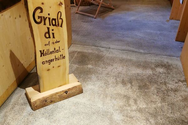
Pfaffenhofer Alm
- Ticket material
-
Tel.: +43 (0)5262 62245 oder info@tirolmitte.at
GPS Downloads


Trail conditions
Asphalt
Gravel
Meadow
Forest
Rock
Exposed
Other tours in the regions
-
Mieminger Plateau & Inntal
1673
-
Pfaffenhofen
517