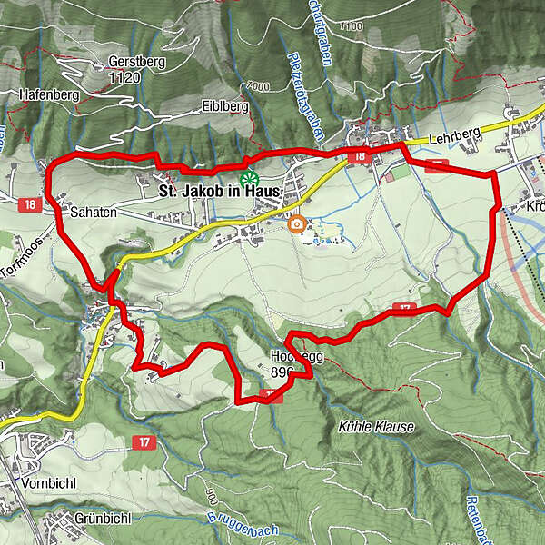
Tour data
6.73km
804
- 928m
211hm
204hm
03:00h
- Difficulty
-
medium
- Rating
-
- Starting point
-
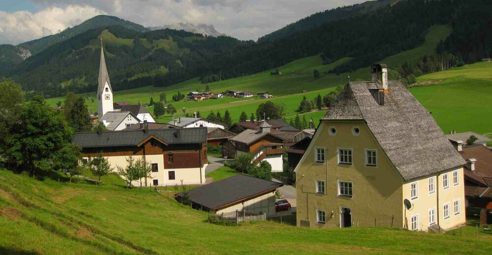
Alpengasthof Buchensteinwand
- Route
-
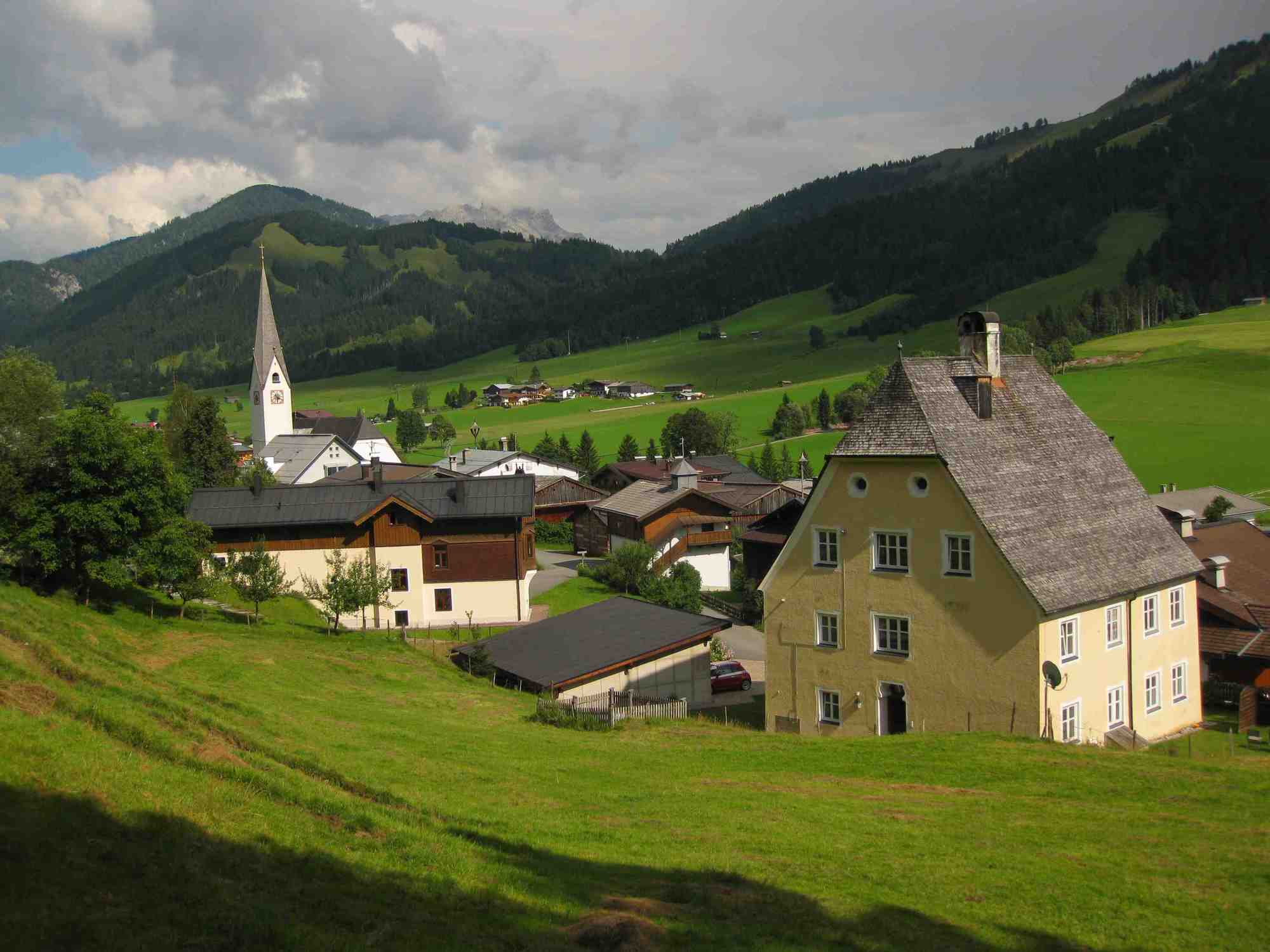
Zur PostPfarrkirche Sankt Jakob in Haus0.0 kmSerkan0.1 kmKröpflstüberl0.8 kmTorfmoos4.7 kmSt. Jakob in Haus5.9 kmZur Post6.6 kmPfarrkirche Sankt Jakob in Haus6.6 km
- Description
-
From the center walk along the main road towards
Bergbahn Pillersee. At the B&B Pension Elisabeth turn
right, pass the soccer field and continue on the left in
the direction of Bergbahn-Talstation to the ski lift Kröpfllift.
Walk on until the signpost St. Jakob i.H.-Moosbach.
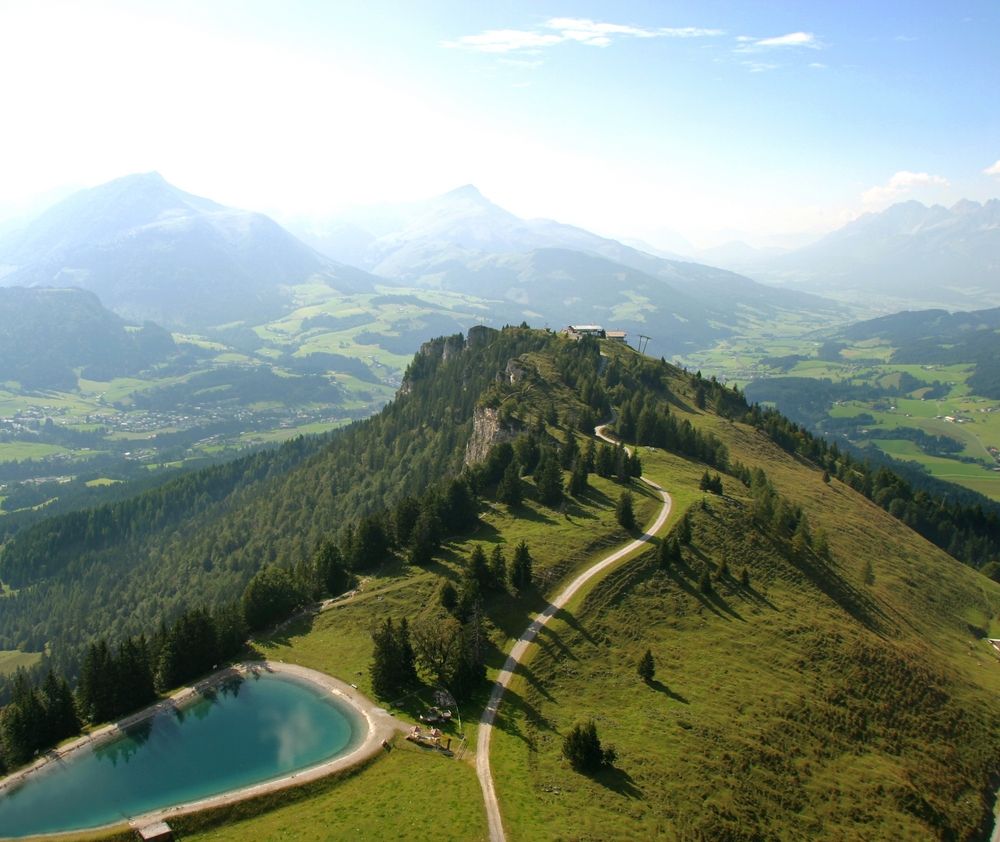
Here you walk along the circle trail Buchensteinwand
via Hochegg until the signpost Moosbach. Follow this
signs until the hamlet Moosbach. Here you turn right
and walk along the main road. After about 200 m cross
it and continue via Mühlbichl, the hamlet Filzen and
the hiking track Panoramaweg to the center of St. Jakob.
i.H. - Highest point
- 928 m
- Rest/Retreat
-
Alpengasthof Buchensteinwand
- Ticket material
-
in allen Tourismusbüros im Pillerseetal
- Info phone
-
+43 (0)5354 / 56304
- Link
- https://maps.pillerseetal.at/#resourceDetail,14...
GPS Downloads


Trail conditions
Asphalt
Gravel
Meadow
Forest
Rock
Exposed
Other tours in the regions
-
Pillerseetal
1787
-
St. Jakob in Haus
405