- Brief description
-
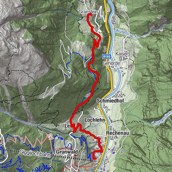
SÖLDEN -> GASTHOF GRANSTEIN -> SÖLDEN
- Difficulty
-
medium
- Rating
-
- Starting point
-
Sölden
- Route
-
Sölden (1,368 m)0.0 kmLochlehn0.6 kmLeite1.2 kmOrtskapelle Mariahilf in Granstein3.5 kmGranstein3.6 kmGasthof Granstein3.6 km
- Best season
-
JanFebMarAprMayJunJulAugSepOctNovDec
- Description
-
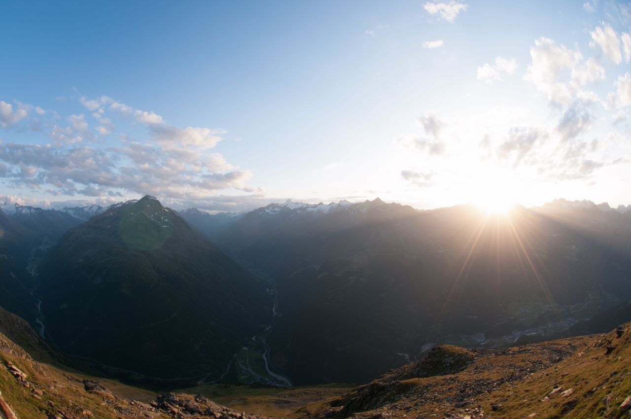
From Freizeit Arena you walk to the car park of Giggijoch mountain gondola and further on to the hamlet of Hainbach. A steeply rising, fenced walking trail takes you up to the hamlets of Mahpuit and Leite. The beautiful path with almost no change in elevation leads across the forest to the road towards Granstein and the lovely mountain inn (short descending section).
- Directions
-
From Giggijochparkplatz, local part of Hainbach, rising fenced way to the local part of Mahpuit, further to the district of Leite, nice quiet flat footpath through lichtenwald to the forest road Granstein, continue slightly uphill to Granstein and the inn.
- Highest point
- 1,522 m
- Endpoint
-
Gasthof Granstein
- Height profile
-

- Equipment
-
Appropriate equipment such as breathable suitable outdoor clothes for the weather, ankle-high walking boots, wind-,
rain- & sun protection, hat, possibly gloves, is for all hikes and tours necessary. Please bring a first-aidbox, a mobile phone, a walking map and if there is no hut on the way a snack and enough to drink. - Safety instructions
-
Moderate mountain trail; for sure-footed and experienced hikers. Good physical condition, mountain experience & mountain equipment (see notice equipment) necessary. Please pay attention to the current weather report:
- Additional information
- Directions
-
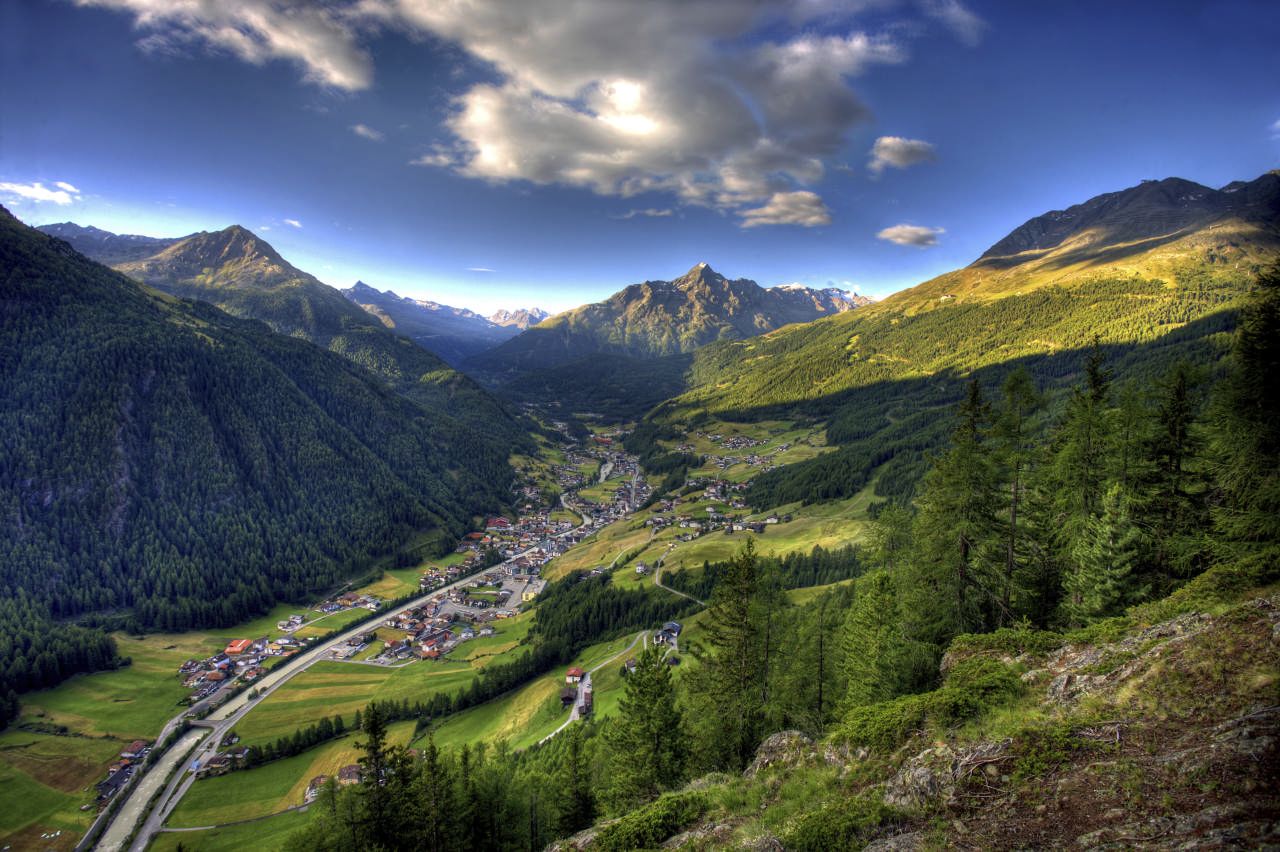
The car drive to the Ötztal valley. Situated in Tirol, the Ötztal valley set off in southerly direction and is the longest side valley in the Eastern Alps. The journey with the car leads you through the Inntal valley to the entrance of the valley and further on through the valley. Among the toll motorways you can also use the country roads. A route planner will show you the easiest and most convenient way: https://www.google.at/maps
- Public transportation
-
Travel safe and comfortable with the train to the Ötztal Bahnhof train station. Last stop and exit point is the train station Ötztal Bahnhof. Afterwards you can travel smoothly and quick with the public transport or our local taxi companies through the valley to your desired destination. Please find the current bus timetable here:http://fahrplan.vvt.at
- Parking
-
The following parking facilities are available in Sölden:
- Parking lot
- parking lot Stiegele
- stair parking
- Giggijochbahn + underground garage
- Gaislachkoglbahn + underground garage
- Parking Hochsölden
- parking garage Hochsölden 1. parking lot
All parking is free during the day.
Parking for several days (eg hike tour):
- Parkticket either online or directly at the cash desk of the Gaislachkoglbahn
- Author
-
The tour Gasthof Granstein is used by outdooractive.com provided.
GPS Downloads


General info
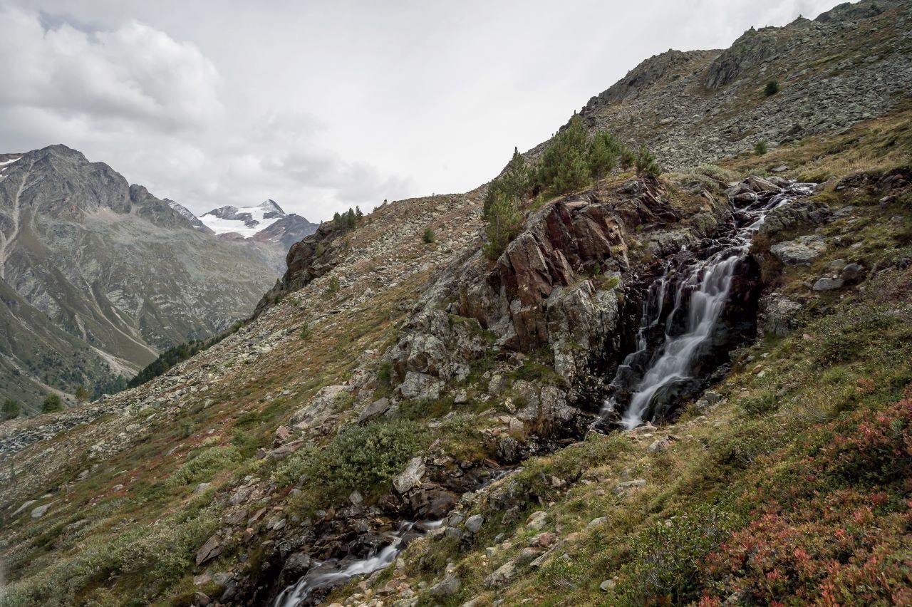
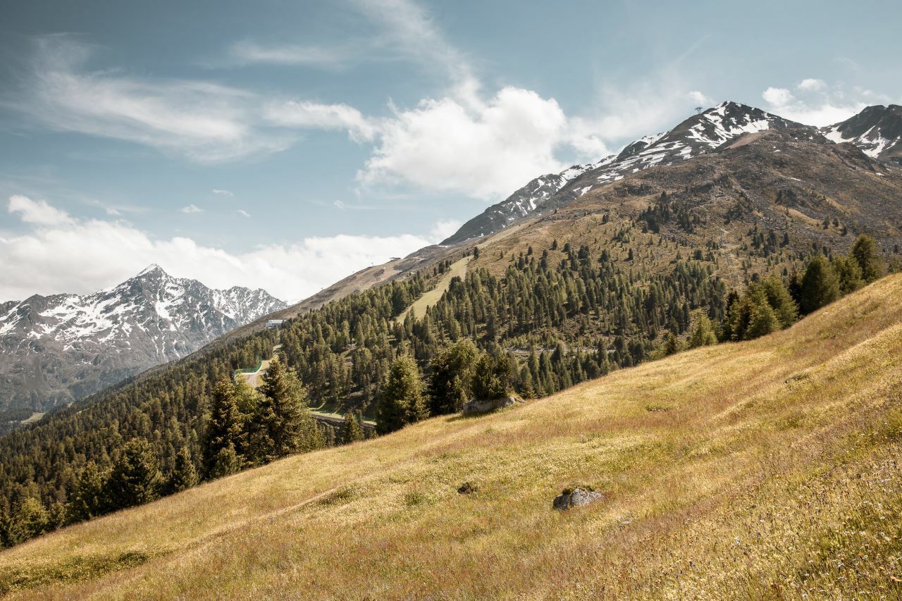
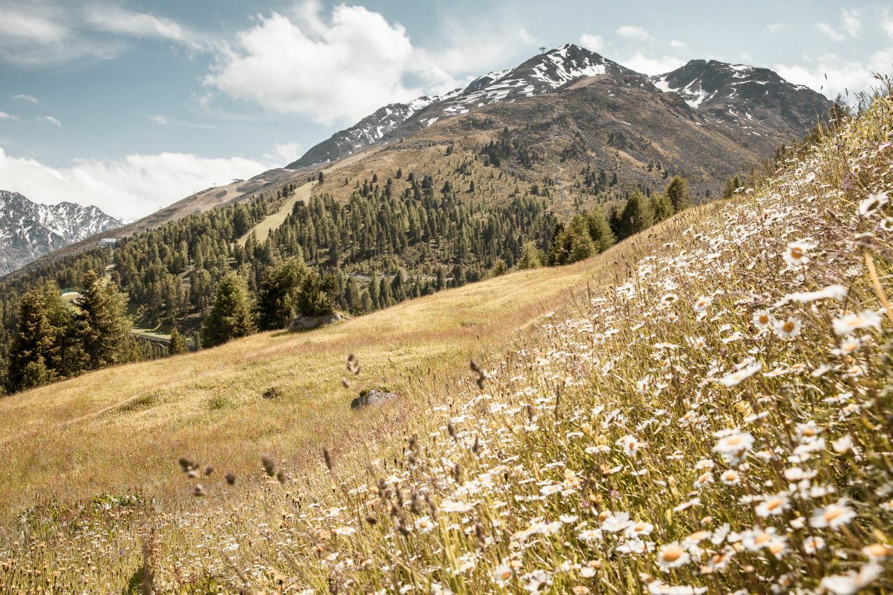
Refreshment stop
A lot of view