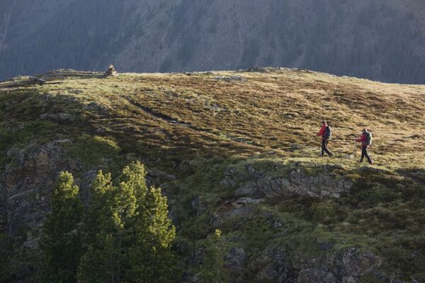


- Brief description
-
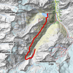
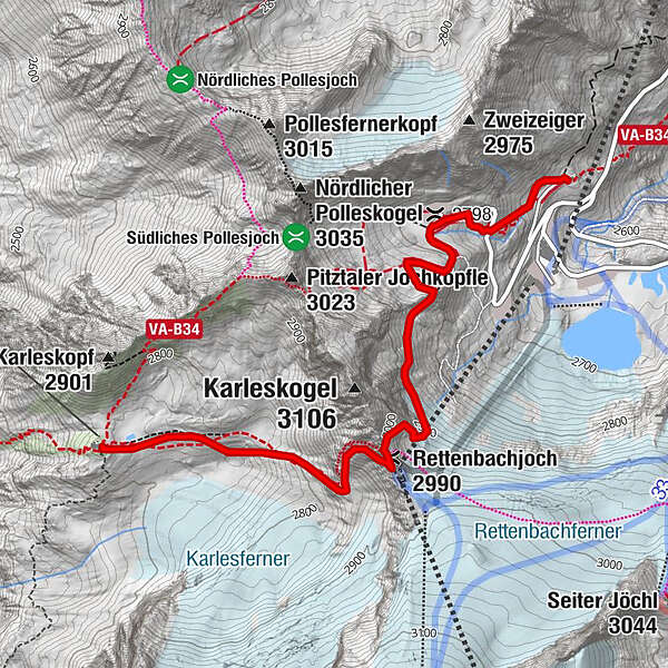
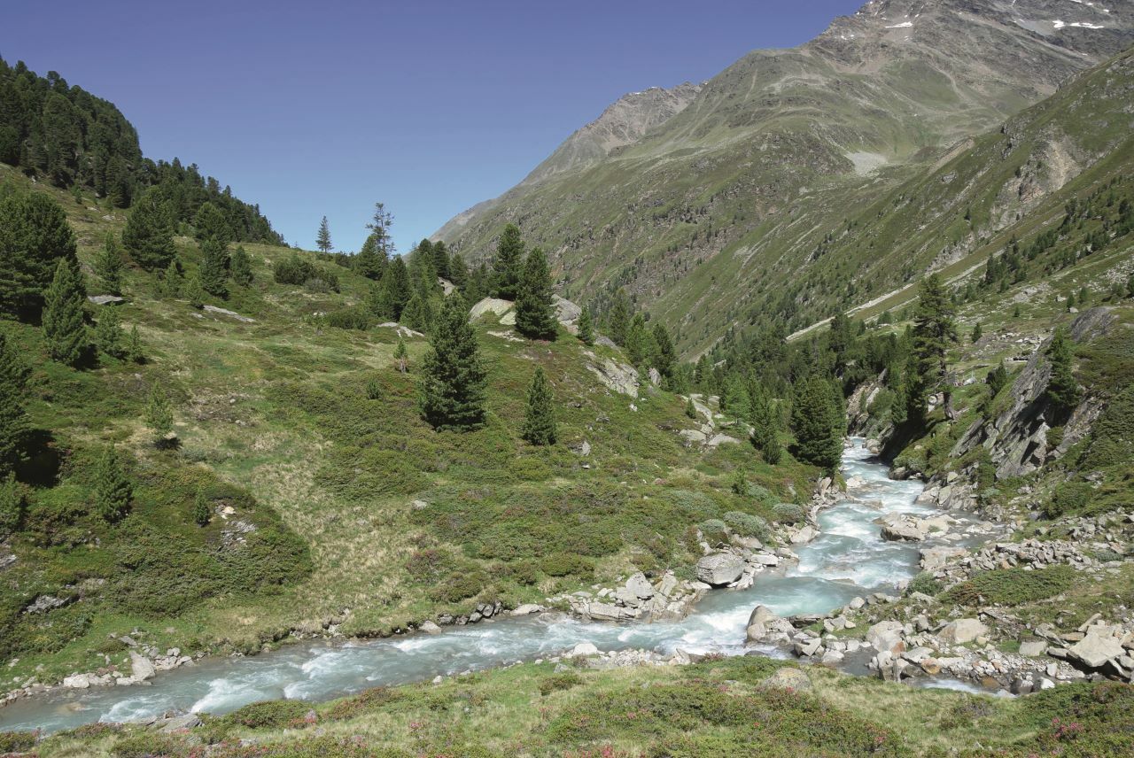
RETTENBACHGLETSCHER -> BRAUNSCHWEIGER HÜTTE -> RETTENBACHGLETSCHER
- Difficulty
-
medium
- Rating
-
- Starting point
-
Rettenbachglacier
- Route
-
Rettenbachjoch (2,990 m)2.2 kmMarienkapelle3.5 kmBraunschweiger Hütte3.5 km
- Best season
-
JanFebMarAprMayJunJulAugSepOctNovDec
- Description
-
From the chapel at Rettenbach Glacier you follow the walking trail to Pitztaler Jöchl car park where the gravel trail to Pitztaler Jöchl starts (in early summer there might be a snow field). In late summer you continue on the cart trail, crossing the marked glacier field towards Rettenbachjoch saddle. The panoramic trail across ridges takes walkers directly to the hut.
- Directions
-
From the chapel at Rettenbach Glacier you follow the walking trail to Pitztaler Jöchl car park where the gravel trail to Pitztaler Jöchl starts (in early summer there might be a snow field). In late summer you continue on the cart trail, crossing the marked glacier field towards Rettenbachjoch saddle. The panoramic trail across ridges takes walkers directly to the hut.
- Highest point
- 2,984 m
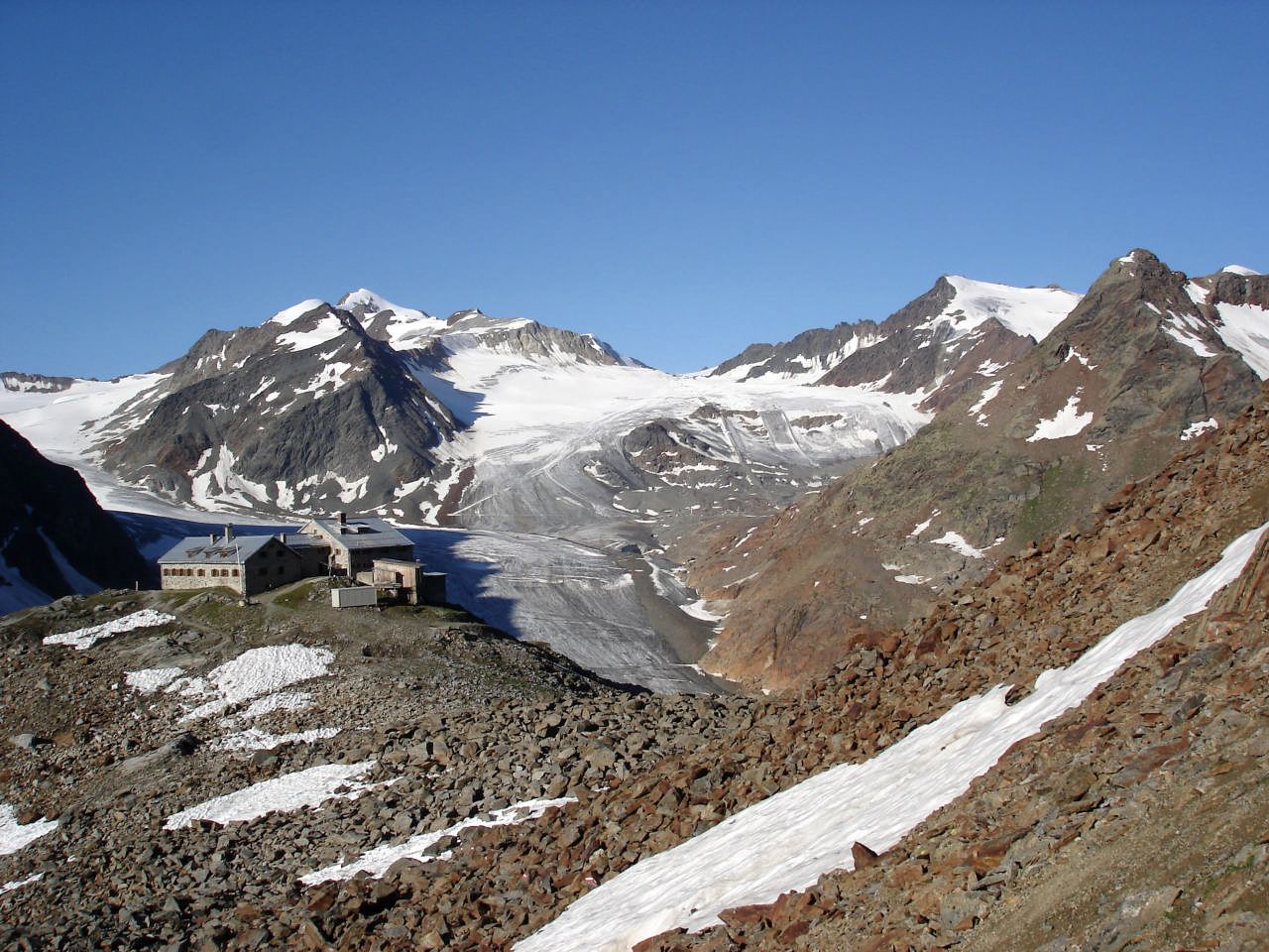
- Endpoint
-
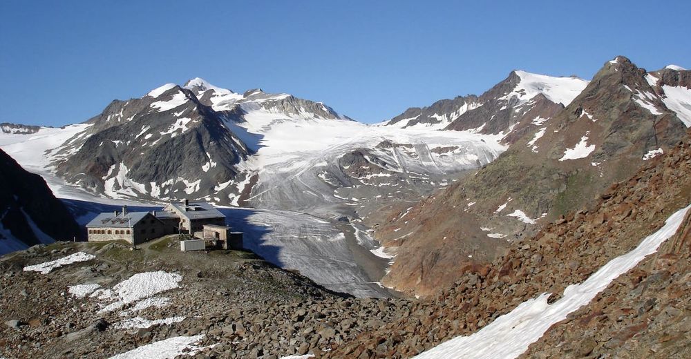
Braunschweiger Hut
- Height profile
-

- Equipment
-
It is recommended to wear hiking equipment such as breathable and weather-adapted outdoor clothing, ankle-high mountain boots, wind, rain and sun protection, cap and possibly gloves. It is also important to have enough food, as well as a first-aid package, a cell phone and a hiking map.
- Safety instructions
-
For experienced mountaineers that are free from vertigo & surefooted, Very good physical condition, mountain experience & mountain equipment (see notice equipment) necessary, such as alpine security material, good weather conditions recommended. Please pay attention to the current weather report:
- Additional information
- Directions
-
The car drive to the Ötztal valley. Situated in Tirol, the Ötztal valley set off in southerly direction and is the longest side valley in the Eastern Alps. The journey with the car leads you through the Inntal valley to the entrance of the valley and further on through the valley. Among the toll motorways you can also use the country roads. A route planner will show you the easiest and most convenient way: www.google.at/maps
- Public transportation
-
Travel safe and comfortable with the train to the Ötztal Bahnhof train station. Last stop and exit point is the train station Ötztal Bahnhof. Afterwards you can travel smoothly and quick with the public transport or our local taxi companies through the valley to your desired destination. Please find the current bus timetable here: http://fahrplan.vvt.at
- Parking
-
The following parking facilities are available in Sölden:
- Parking lot
- parking lot Stiegele
- stair parking
- Giggijochbahn + underground garage
- Gaislachkoglbahn + underground garage
All parking is free during the day.
Parking for several days (eg hike tour):
- Parkticket either online or directly at the cash desk of the Gaislachkoglbahn
- Author
-
The tour Braunschweiger Hut is used by outdooractive.com provided.


General info
-
Meraner Land
1722
-
Ötztal
1103
-
Pitztaler Gletscher - Bergbahnen Rifflsee
282