


- Brief description
-
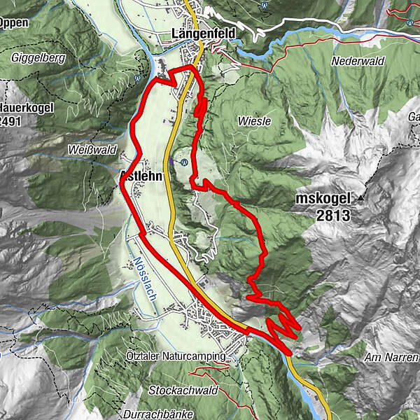
LÄNGENFELD -> Burgstein -> Platter Grube -> Huben -> Runhof -> LÄNGENFELD
- Difficulty
-
medium
- Rating
-
- Starting point
-
Längenfeld center
- Route
-
Längenfeld (1,179 m)Sportgasthof Bergheimat7.8 kmHuben (1,198 m)7.9 kmAstlehn10.5 kmLängenfeld (1,179 m)12.4 km
- Best season
-
JanFebMarAprMayJunJulAugSepOctNovDec
- Description
-
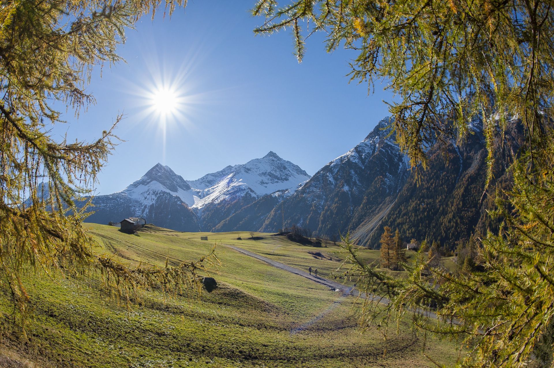
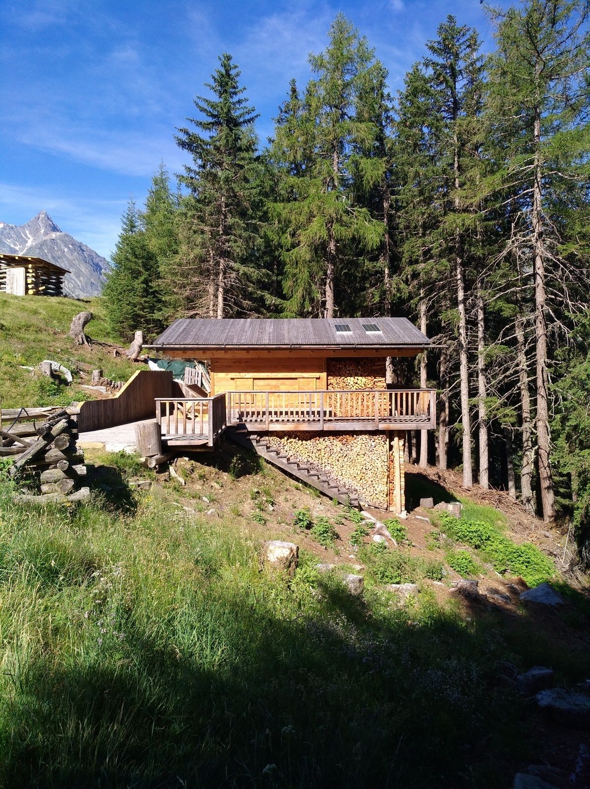
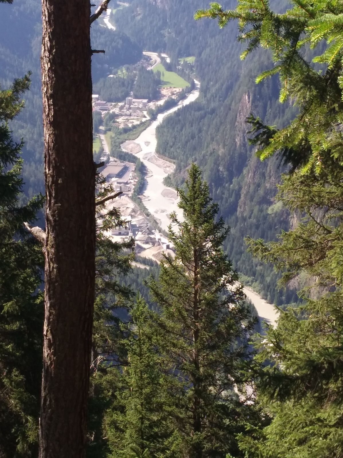
The starting point of this circular walk is in Längenfeld between the supermarket Spar and the sports shop Riml. From here a pleasantly ascending forest road leads to Burgstein. Regulars from Längenfeld have immortalized themselves on this path with the affixing of a name chain a few years ago. Once at the high plateau, the path leads through meadows into a sparse forest. This leads then on a climb which is well secured to the Platter pit. This beautiful quiet place invites you to rest. The descent is via meadows to Huben. From here follow the valley out of Ötztaler Ache to Längenfeld.
- Directions
-
From the center Längenfeld follow the forest road to Burgstein. In the center of the hamlet, follow the turnoff to Platter Grube on the left. Continue through sparse forest to a clearing which invites you to rest. The descent leads over a forest at a farm past over to Huben. There you follow the Ötztaler Ache to Längenfeld.
- Highest point
- 1,838 m
- Endpoint
-
starting point
- Height profile
-

- Equipment
-
Appropriate equipment such as breathable suitable outdoor clothes for the weather, is for all hikes and tours necessary. Please bring a first-aid box, a mobile phone, a walking map and if there is no hut on the way a snack and enough to drink
- Safety instructions
-
Moderate mountain trail; for sure-footed and experienced hikers. Good physical condition, mountain experience & mountain equipment (see notice equipment) necessary. Please pay attention to the current weather report
- Additional information
- Directions
-
The car drive to the Ötztal valley. Situated in Tirol, the Ötztal valley set off in southerly direction and is the
longest side valley in the Eastern Alps. The journey with the car leads you through the Inntal valley to the
entrance of the valley and further on through the valley. Among the toll motorways you can also use the country
roads. A route planner will show you the easiest and most convenient way: https://www.google.at/maps
- Public transportation
-
Travel safe and comfortable with the train to the Ötztal Bahnhof train station. Last stop and exit point is the
train station Ötztal Bahnhof. Afterwards you can travel smoothly and quick with the public transport or our local
taxi companies through the valley to your desired destination. Please find the current bus timetable here:
http://fahrplan.vvt.at
- Parking
-
The following parking facilities are available in Längenfeld:
Sportzentrum Längenfeld - free
Nature Park House Längenfeld- free


- Author
-
The tour Platter Grube - Längenfeld is used by outdooractive.com provided.


General info
-
Ötztal
1107
-
Längenfeld - Huben - Gries
354


