


- Brief description
-
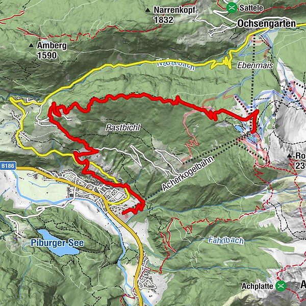
PANORAMARESTAURANT HOCHOETZ -> Stufenreich -> Schlatt -> Klingenburg -> OETZ
- Difficulty
-
medium
- Rating
-
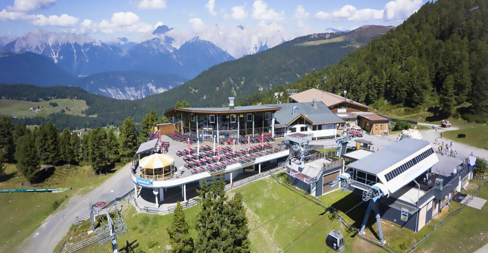
- Starting point
-
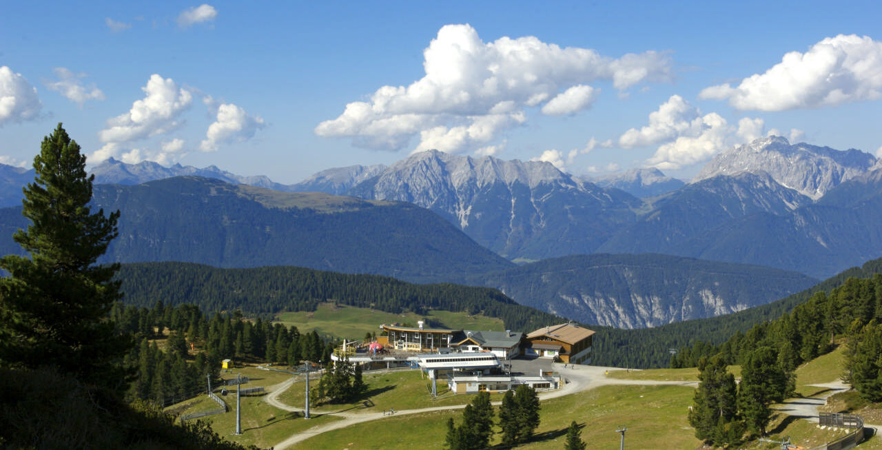
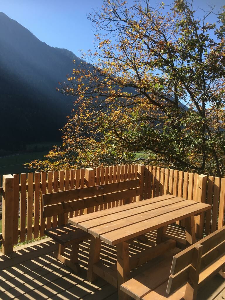
Panoramarestaurant Hochoetz
- Route
-
Mühlau5.8 kmSchlatt6.3 kmKlingenburg7.3 kmHexenplatte8.1 kmPfarrkirche zum Hl. Georg und Nikolaus8.4 kmOetz (812 m)8.4 km
- Best season
-
JanFebMarAprMayJunJulAugSepOctNovDec
- Description
-
From the Panorama Restaurant in Hochoetz you walke down to alte Kühtaile Alm. Keep left and follow the forest road. After a double curve turn left again and follow the hiking path down to Stufenreich. In Stufenreich you follow the path through the fields to Klingenburg. Cross the road and walk down to the viewing platform "Hexenplatte". You pass by the church and follow the hiking path to the right hand side to "Kalvarienberg" chapell. From the chapell you can easy walk down to the cable car station.
- Directions
-
From the Panorama Restaurant in Hochoetz you walke down to alte Kühtaile Alm. Keep left and follow the forest road. After a double curve turn left again and follow the hiking path down to Stufenreich. In Stufenreich you follow the path through the fields to Klingenburg. Cross the road and walk down to the viewing platform "Hexenplatte". You pass by the church and follow the hiking path to the right hand side to "Kalvarienberg" chapell. From the chapell you can easy walk down to the cable car station.
- Highest point
- 2,008 m
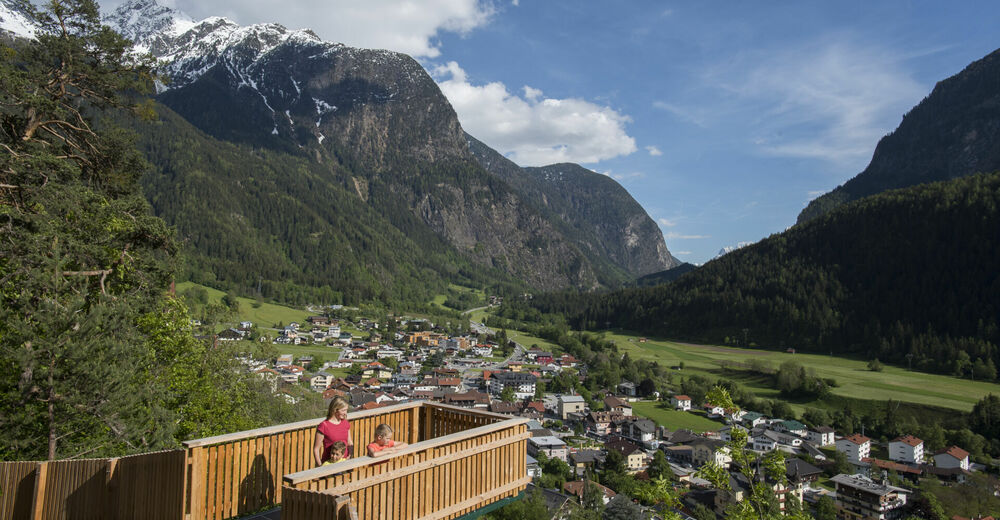
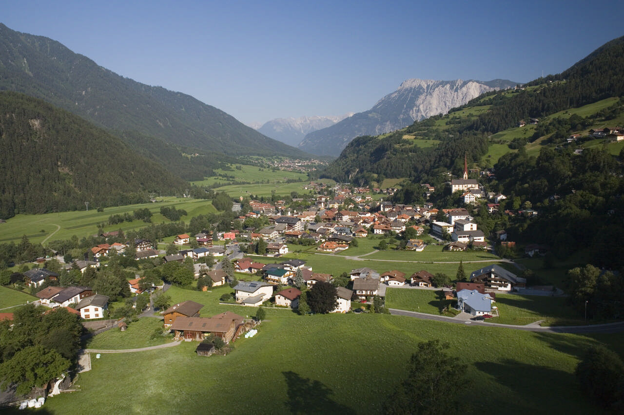
- Endpoint
-
Oetz
- Height profile
-

- Equipment
-
Appropriate equipment such as breathable suitable outdoor clothes for the weather, ankle-high walking boots, wind-, rain- & sun protection, hat, possibly gloves, is for all hikes and tours necessary. Please bring a first-aid box, a mobile phone, a walking map and if there is no hut on the way a snack and enough to drink.
- Safety instructions
-
Moderate mountain trail; for sure-footed and experienced hikers. Good physical condition, mountain experience & mountain equipment (see notice equipment) necessary. Please pay attention to the current weather report: www.oetztal.com
- Additional information
-
More information about hiking in Ötztal: www.oetztal.com/wandern
- Directions
-
The car drive to the Ötztal valley. Situated in Tirol, the Ötztal valley set off in southerly direction and is the longest side valley in the Eastern Alps. The journey with the car leads you through the Inntal valley to the entrance of the valley and further on through the valley. Among the toll motorways you can also use the country roads. A route planner will show you the easiest and most convenient way: www.google.at/maps
- Public transportation
-
Enjoy a both comfortable and relaxing train ride to the train station in Ötztal Bahnhof. You get off the train in ÖTZTAL Bahnhof where you change to a public bus or local taxi. The current bus schedule can be found at: fahrplan.vvt.at
- Parking
-
The following parking facilities are available:
- Parking Acherkogelbahn - free for guests of the gondola lift, camping prohibited
- Parking next to the river (at the end of Oetz on the right hand side) – free of charge, but limited parking; camping prohibited
- Parking Oetz town center- parking fee
- Parking at night during several days' tours: Parking Oetz town center, the ticket is available at the tourist office Oetz.


- Author
-
The tour Hochoetz - hiking down to Oetz via Stufenreich is used by outdooractive.com provided.


General info
-
Outdoorregion Imst
1228
-
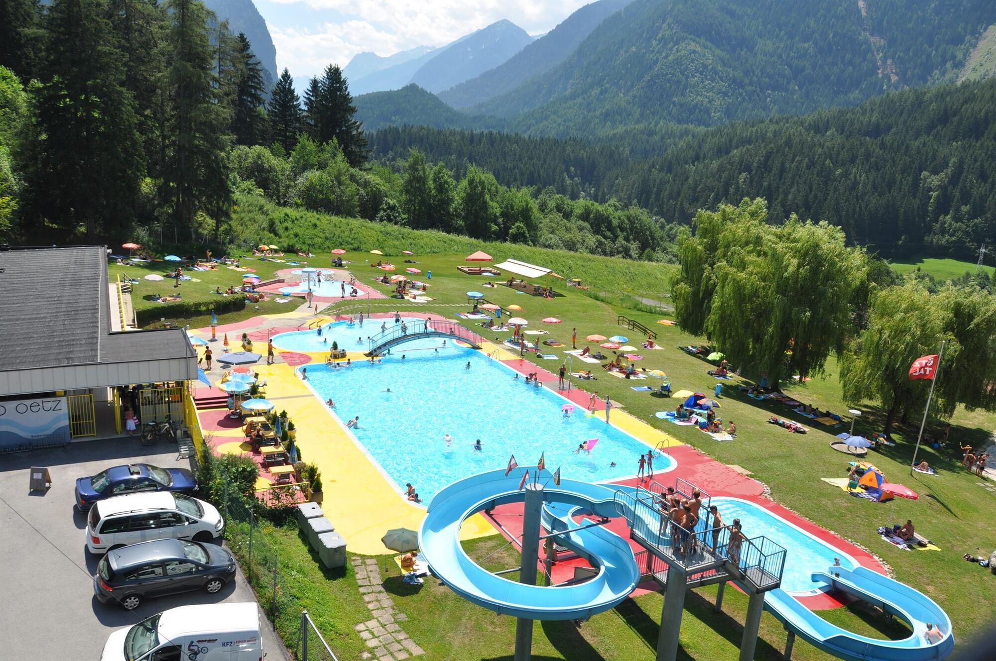
Oetz
339