

© Free image for editorial usage only: Photo by Joerg Mitter for Global Newsroom - Joerg Mitter

© Toni Niederwieser

© Toni Niederwieser

Tour data
2.4km
959
- 990m
70hm
00:45h

- Brief description
-
Perfekte kurz Wandertour auch für Familien bestens geeignet
- Difficulty
-
easy
- Rating
-
- Starting point
-
Dorfzentrum Hochfilzen, bzw. bei den kostenlosen Parkplätzen in Hochfilzen (beschildert)
- Route
-
HochfilzenSeealm2.0 kmGrießen3.9 km
- Description
-
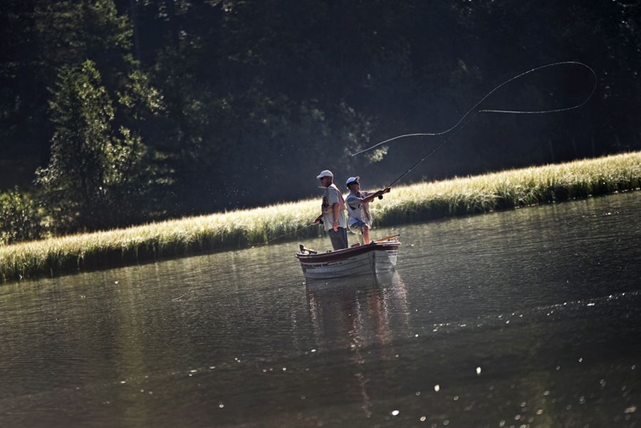
Bird observation area.
A hike to the romantic Grießensee lesds you from Hochfilzen on the bike and hike path direction Leogang. Pass the reed zone to the bird observation Tower directly at the lake. Countless types of birds can be observer. - Highest point
- 990 m
- Rest/Retreat
-
Grießner Seealm
- Ticket material
-
In allen Tourismusbüros im Pillerseetal


- Info phone
-
+43 (0)5354 / 56304
- Link
- https://maps.pillerseetal.at/#resourceDetail,81...
GPS Downloads


Trail conditions
Asphalt
Gravel
Meadow
Forest
Rock
Exposed
Other tours in the regions
-
Saalbach Hinterglemm
1594
-
Hochfilzen
410


