© Tourismusverband Region Hall-Wattens - Hall Wattens

© Tourismusverband Region Hall-Wattens - Hall Wattens

© Tourismusverband Region Hall-Wattens - Hall Wattens
- Brief description
-
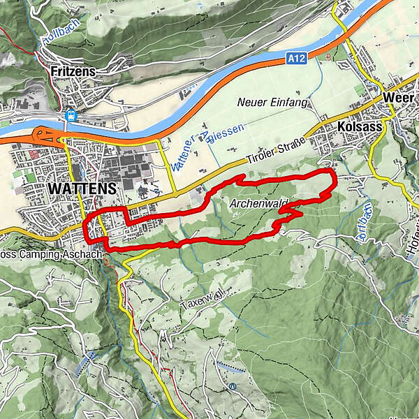
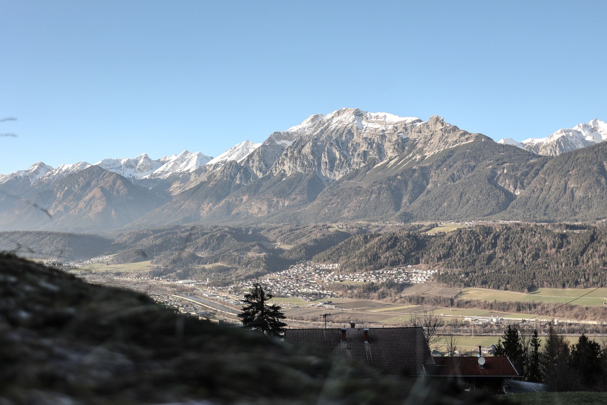
Walk from the Wattner centre past the cemetery, eastwards through meadows and forest to the Lourdes Chapel and Merans, back via the Archenwald.
- Difficulty
-
easy
- Rating
-
- Starting point
-
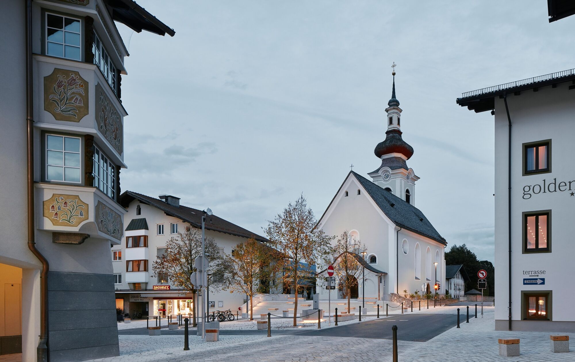
Wattens
- Route
-
Wattens (564 m)0.4 kmLaurentiuskirche Wattens0.5 kmFriedhofskapelle0.5 kmEvang. Christuskirche0.7 kmLourdeskapelle3.2 kmGartlach6.0 kmWattens (564 m)8.5 km
- Best season
-
JanFebMarAprMayJunJulAugSepOctNovDec
- Highest point
- 849 m
- Endpoint
-
Wattens
- Height profile
-

- Directions
-
The best way to get there by car is via the Inntal motorway A12 and exit 61-Wattens.
- Public transportation
- Parking
-
There are parking facilities directly at the starting point.
- Author
-
The tour Wattens - Kolsass is used by outdooractive.com provided.
GPS Downloads


Other tours in the regions
-
Ferienregion Hall - Wattens
1491
-
Kolsass
321