- Brief description
-
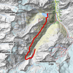
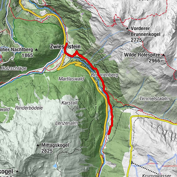
ZWIESELSTEIN BRIDGE/GURGLER CREEK -> SAHNESTÜBERL
- Difficulty
-
medium
- Rating
-
- Starting point
-
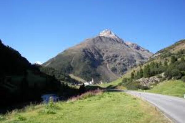
Zwieselstein
- Route
-
Gasthof ZwieselsteinZwieselstein (1,470 m)0.1 kmSahnestüberl3.8 km
- Best season
-
JanFebMarAprMayJunJulAugSepOctNovDec
- Description
-
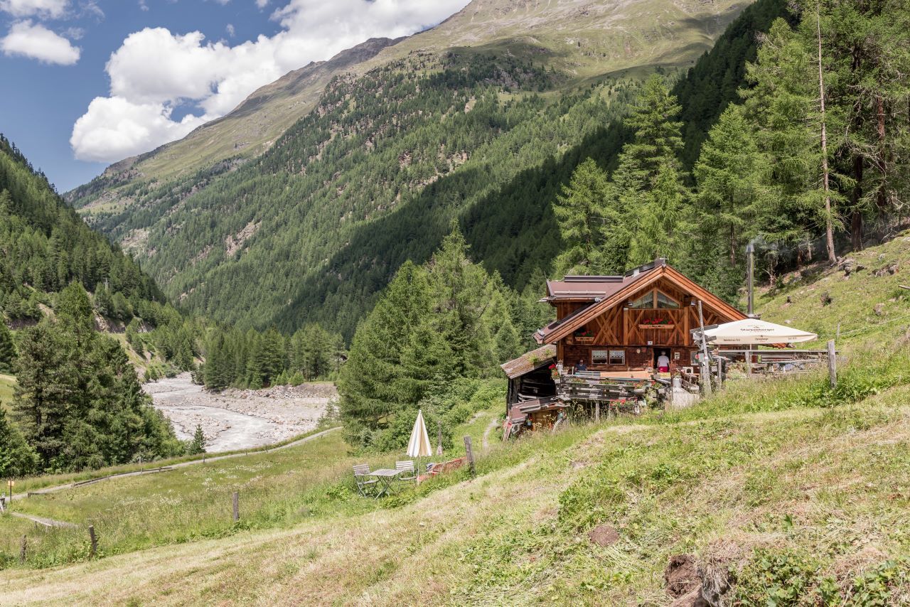
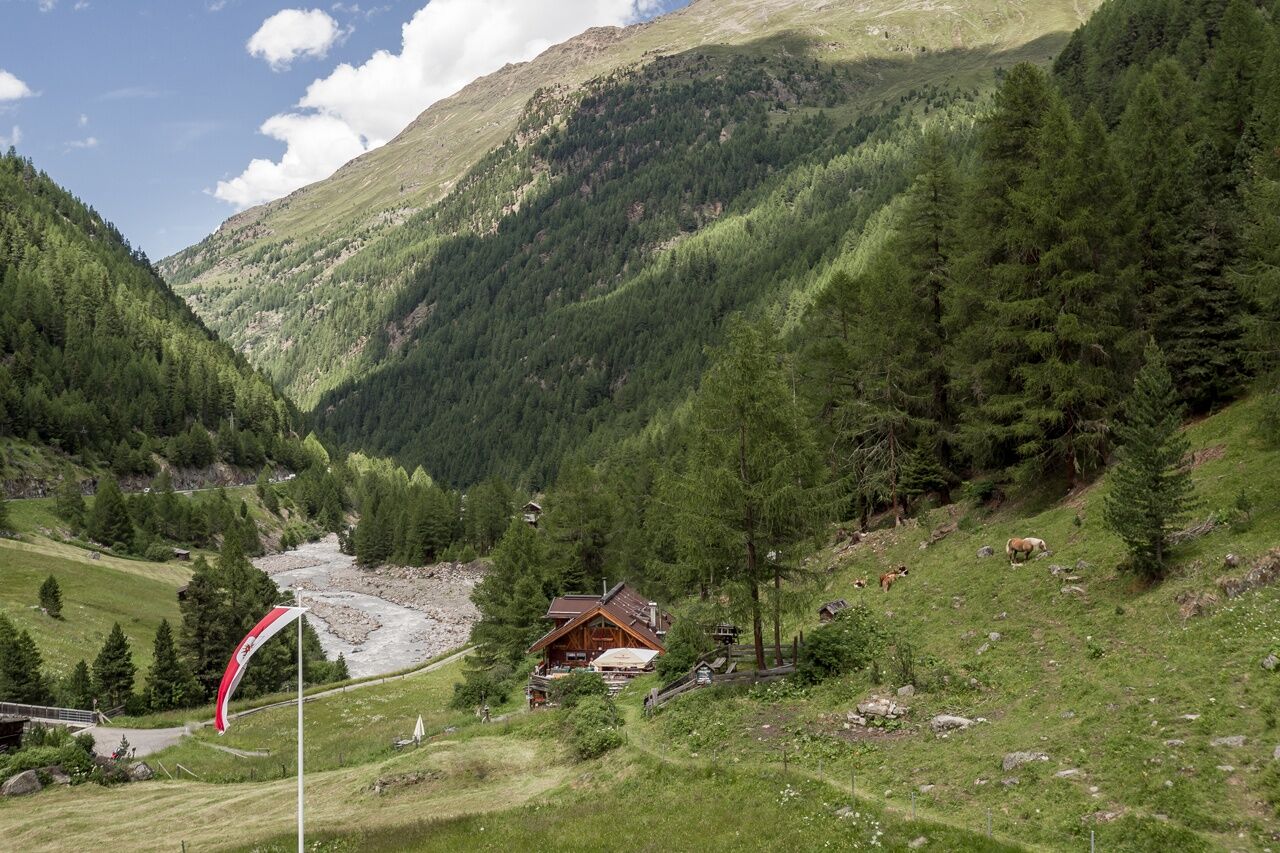
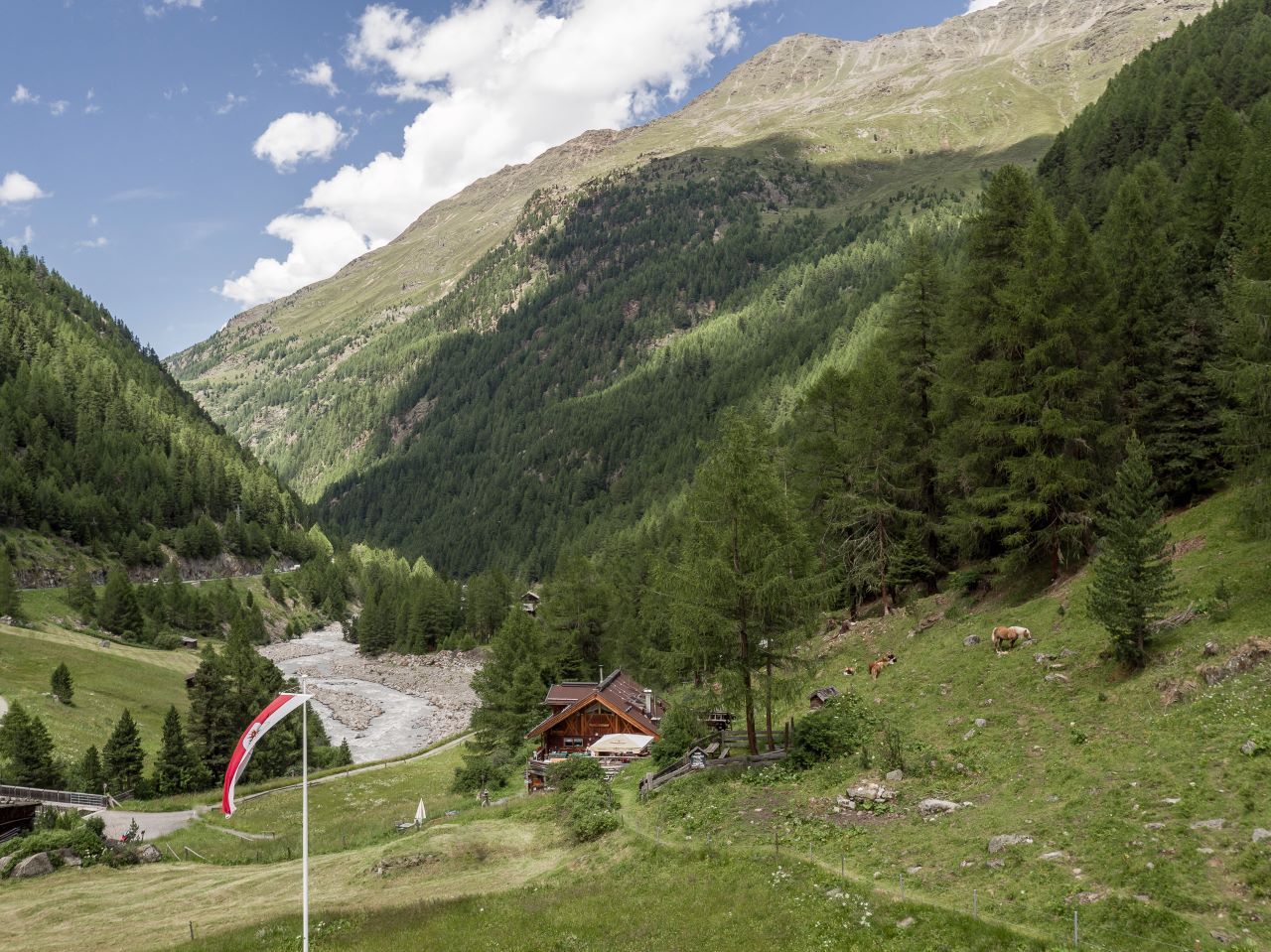
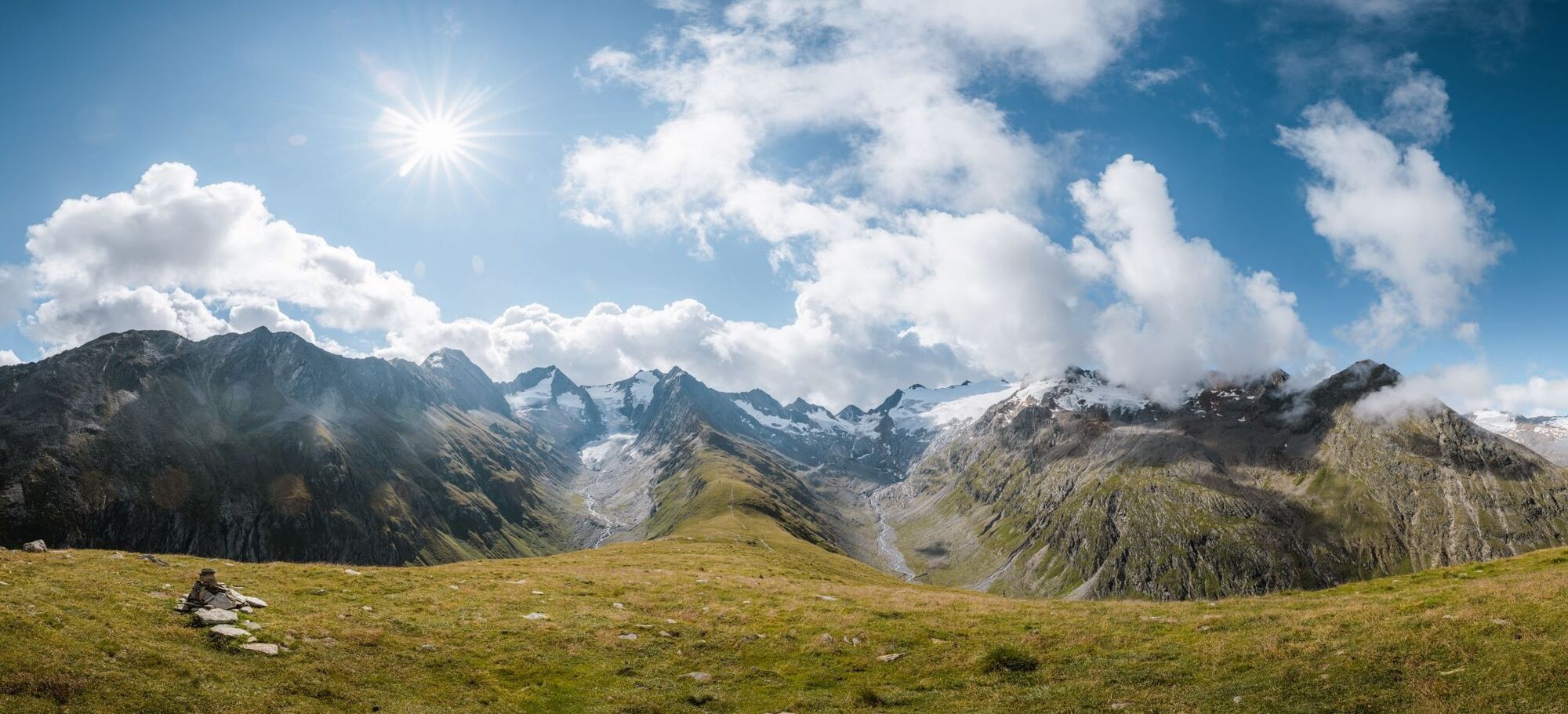
From Zwieselstein's bridge over Gurgler Creek brook you walk along the switch-backing and steeply rising trail to the highest point. Continue on the slightly ascending and descending path through the woods. Past a scenic waterfall you reach the mountain hut.
- Directions
-
From Zwieselstein's bridge over Gurgler Ache brook you walk along the switch-backing and steeply rising trail to the highest point. Continue on the slightly ascending and descending path through the woods. Past a scenic waterfall you reach the mountain hut.
- Highest point
- 1,666 m
- Endpoint
-
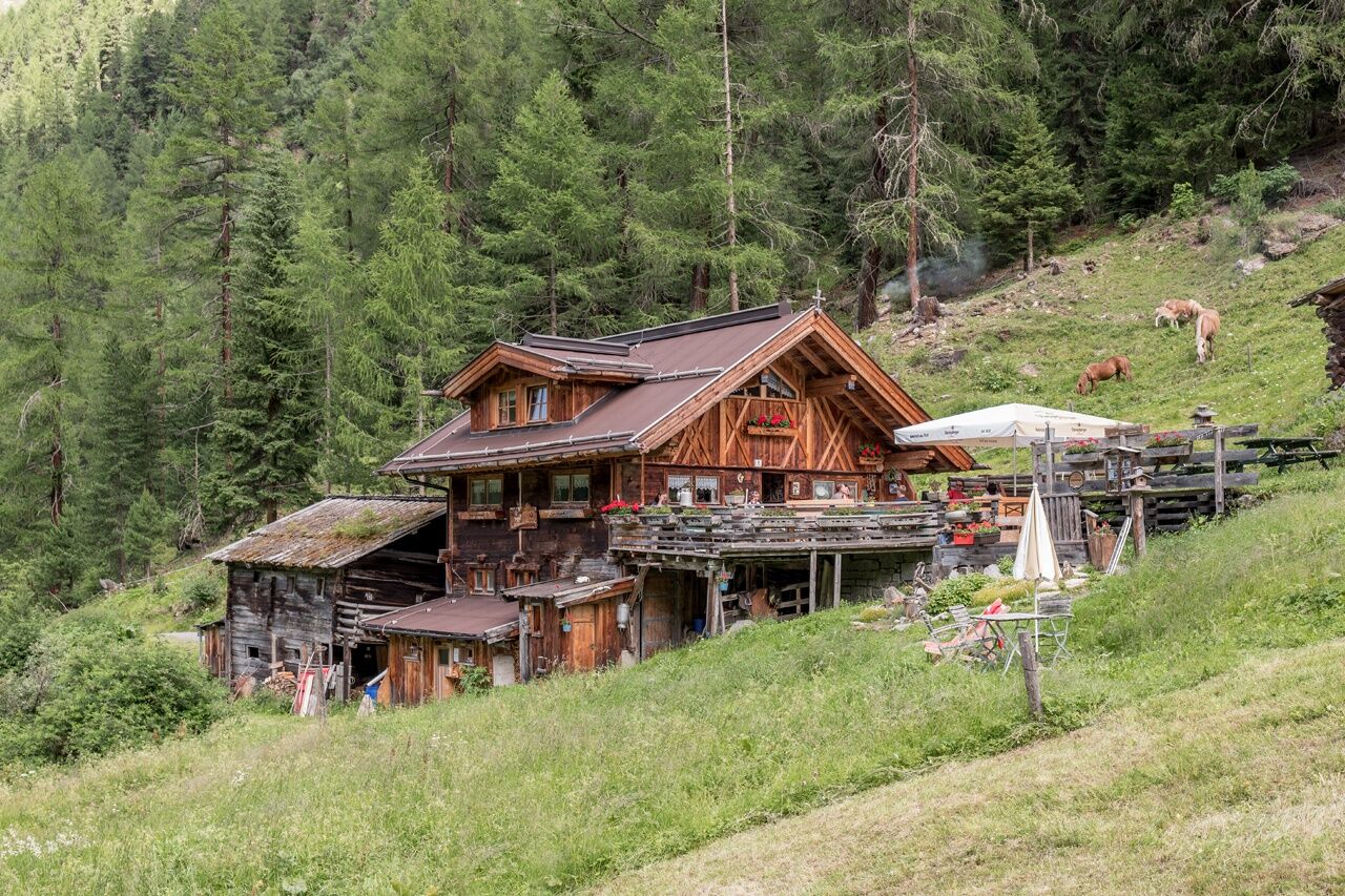
Sahnestüberl
- Height profile
-

- Equipment
-
Appropriate equipment such as breathable suitable outdoor clothes for the weather, ankle-high walking boots, wind-, rain- & sun protection, hat, possibly gloves, is for all hikes and tours necessary. Please bring a first-aid box, a mobile phone, a walking map and if there is no hut on the way a snack and enough to drink.
- Safety instructions
-
Moderate mountain trail; for sure-footed and experienced hikers. Good physical condition, mountain experience & mountain equipment (see notice equipment) necessary. Please pay attention to the current weather report:
- Additional information
- Directions
-
The car drive to the Ötztal valley. Situated in Tirol, the Ötztal valley set off in southerly direction and is the longest side valley in the Eastern Alps. The journey with the car leads you through the Inntal valley to the entrance of the valley and further on through the valley. Among the toll motorways you can also use the country roads. A route planner will show you the easiest and most convenient way: https://www.google.at/maps
- Public transportation
-
Travel safe and comfortable with the train to the Ötztal Bahnhof train station. Last stop and exit point is the train station Ötztal Bahnhof. Afterwards you can travel smoothly and quick with the public transport or our local taxi companies through the valley to your desired destination. Please find the current bus timetable here: http://fahrplan.vvt.at
- Parking
-
The following parking facilities are available in Zwieselstein:
- parking Zwieselstein
- parking place Zwieselstein / sports field

- Author
-
The tour Sahnestüberl is used by outdooractive.com provided.
GPS Downloads


General info
Refreshment stop
A lot of view
Other tours in the regions
-
Meraner Land
1736
-
Ötztal
1110
-
Sölden
329