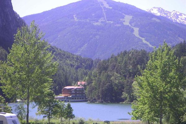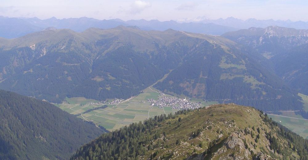
© Schneider Hansjörg

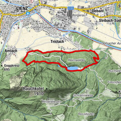
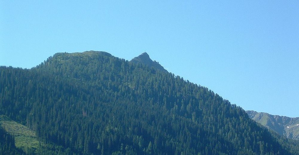
© Schneider Hansjörg
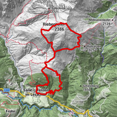
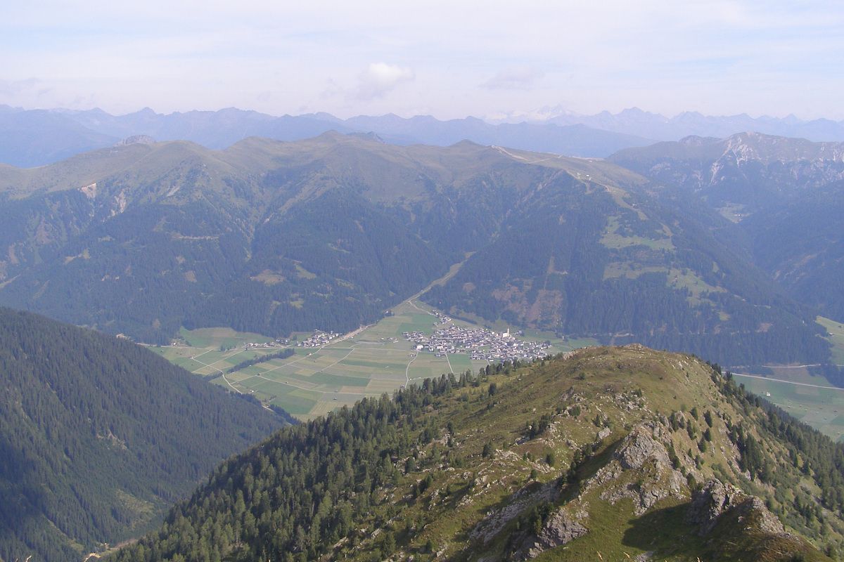
© Schneider Hansjörg
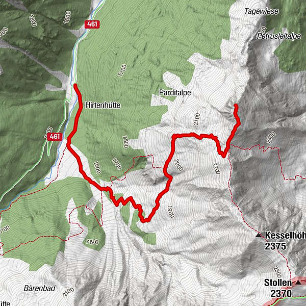
Tour data
3.9km
1,515
- 2,275m
744hm
744hm
03:30h
- Brief description
-
Mittelschwere, z.T. auch etwas steile Bergwanderung
- Difficulty
-
medium
- Rating
-
- Starting point
-
Pfaffenboden im Dorfertal
- Route
-
Spitzköfele (2,314 m)3.9 km
- Highest point
- 2,275 m
- Endpoint
-
Spitzköfele
- Rest/Retreat
-
Evtl. Porzehütte - bei Abstieg über das Tilliacher Joch
- Ticket material
-
Wanderkarte Hochpustertal/Verlag Mayr, Kompass-WK Lienzer Dolomiten/Lesachtal
GPS Downloads


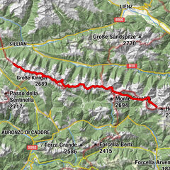
Other tours in the regions