© Lechtal Tourismus

© Lechtal Tourismus
Tour data
6.53km
1,064
- 1,210m
220hm
223hm
01:50h

- Brief description
-
Für Kinder gut geeignet
- Difficulty
-
medium
- Rating
-
- Starting point
-
Bach bei der Kirche
- Route
-
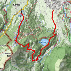
Friedhofskapelle0.0 kmObergiblen0.2 kmBerggasthof Klapf1.7 kmBabylift Jöchelspitze3.8 kmLechtaler Hexenkessel3.8 kmJöchelspitzbahn4.0 kmKraichen5.5 kmFriedhofskapelle6.5 km
- Best season
-
JanFebMarAprMayJunJulAugSepOctNovDec
- Highest point
- 1,210 m
- Endpoint
-
Benglerwald
- Rest/Retreat
-
Berggasthof Klapf, Lechtaler Hexenkessel
- Ticket material
-
MAYR Nr. 5 Tiroler Lechtal - erhältlich in allen TVB Büros im Lechtal
GPS Downloads


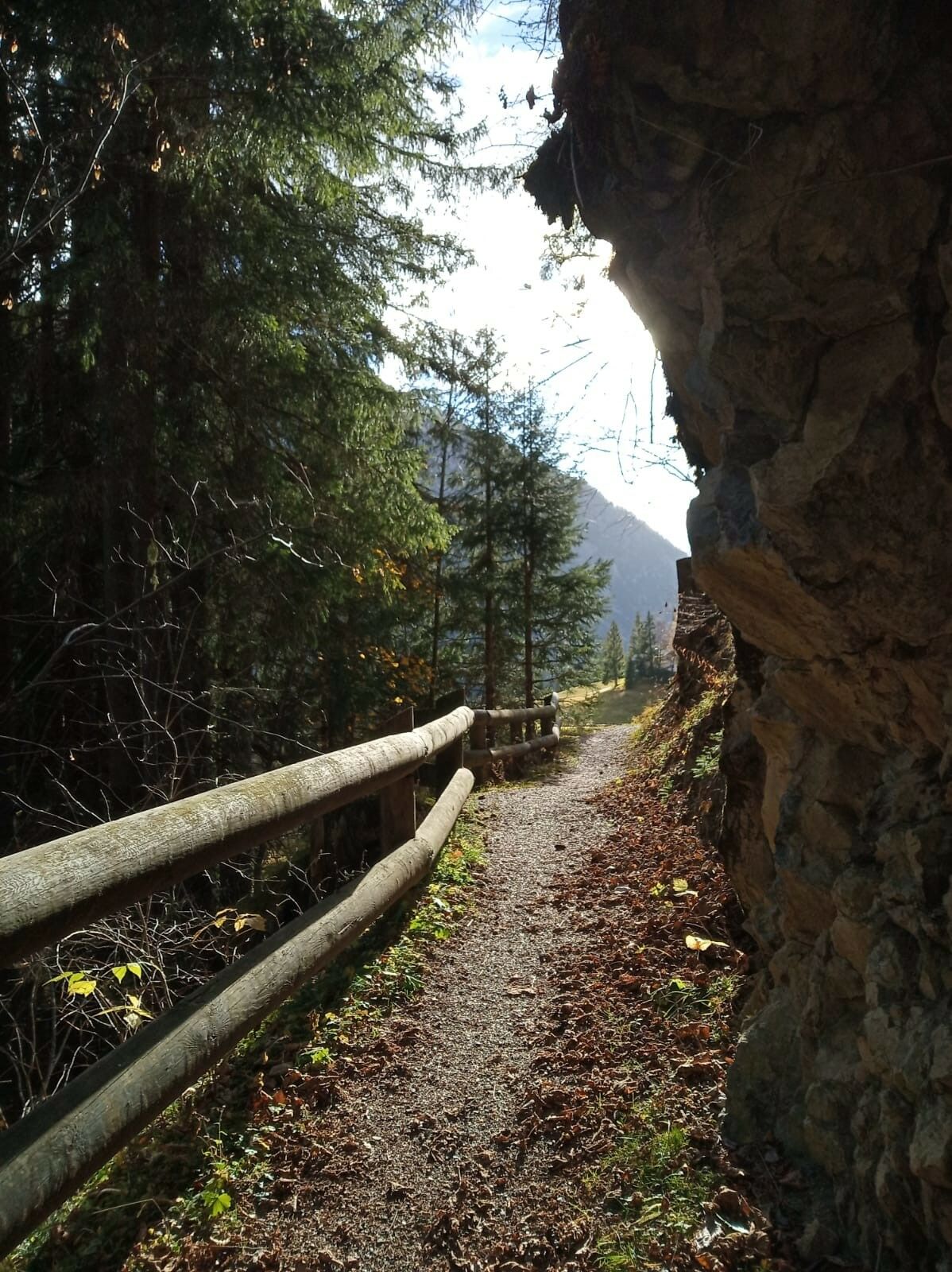
Trail conditions
Asphalt
Gravel
Meadow
Forest
Rock
Exposed
Other tours in the regions
-
Lechtal
1413
-
Bach-Stockach im Lechtal
194