


Tour data
8.48km
739
- 1,811m
1,104hm
06:30h

- Brief description
-
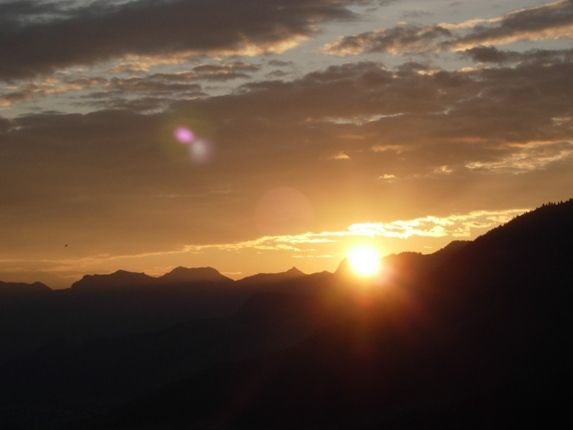
Traumhafte Gipfeltour auf einen der besten Aussichtsberge Tirols!!
- Difficulty
-
difficult
- Rating
-
- Starting point
-
Ortszentrum von Westendorf
- Route
-
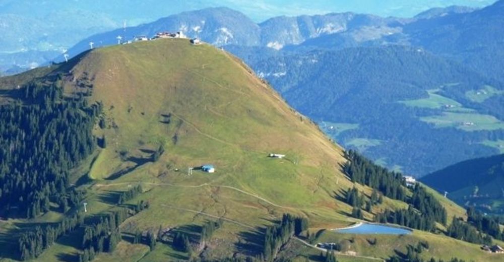
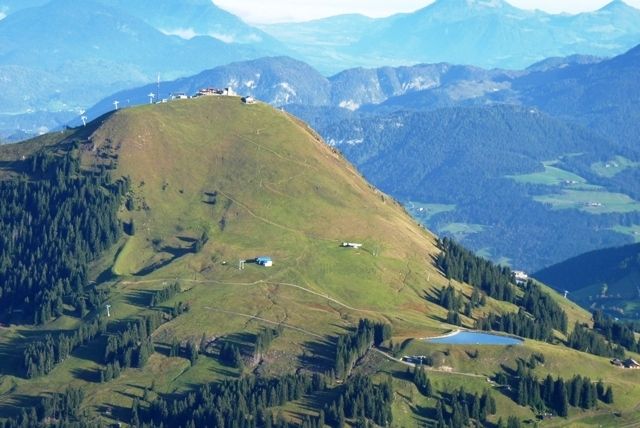
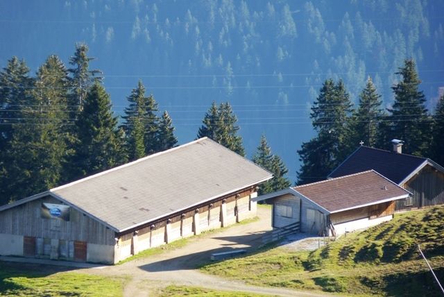
Pfarrkirche zum Heiligen Nikolaus0.1 kmWestendorf0.1 kmSpielplatz Pfarrgarten0.3 kmStocker-Marter-Kapelle0.8 kmMühltal0.8 kmFeichten1.4 kmKälbersalve Alm6.9 kmHohe Salve (1,829 m)8.4 kmWallfahrtskirche Hohe Salve8.4 kmGipfelalm Hohe Salve8.4 km
- Best season
-
JanFebMarAprMayJunJulAugSepOctNovDec
- Highest point
- 1,811 m
- Endpoint
-
Gipfel der Hohen Salve
- Rest/Retreat
-
Gipfelrestaurant Hohe Salve
- Ticket material
-
Wanderkarte Kirchberg.Brixen.Westendorf - Die schönsten Wanderungen des Brixentals Erhältlich in den TVB-Büros


- Info phone
-
+43 5357 2000 300
- Link
- http://www.kitzbuehel-alpen.com
GPS Downloads


Trail conditions
Asphalt
Gravel
Meadow
Forest
Rock
Exposed
Other tours in the regions
-
Kitzbüheler Alpen - Brixental
1763
-
Westendorf
449


