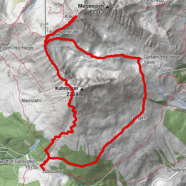
Loassattel - Kuhmesser - Kellerjoch - Kellerjoch Kapelle - Hochebenweg - Loassattel

Hiking
© Tourismusverband Silberregion Karwendel - P/S 04-09
Tour data
8.7km
1,679
- 2,290m
605hm
544hm
03:00h
- Difficulty
-
medium
- Rating
-
- Starting point
-
Parkplatz Loassattel
- Route
-
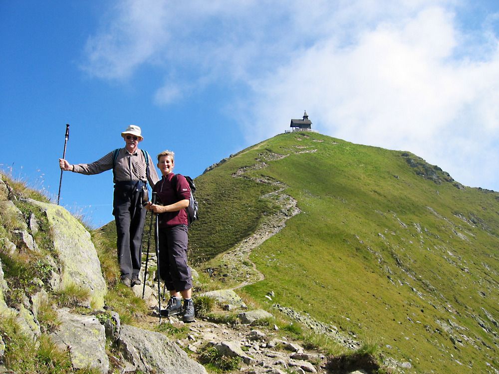
Kuhmesser (2,246 m)2.0 kmKellerjochhütte3.0 kmKellerjochkapelle3.6 kmGartalm Hochleger5.8 kmGartalm5.9 km
- Best season
-
JanFebMarAprMayJunJulAugSepOctNovDec
- Highest point
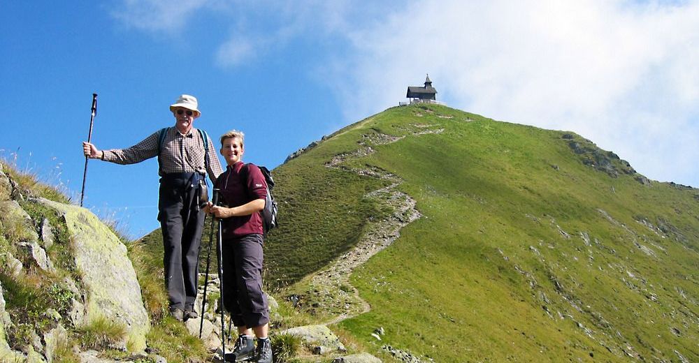
- Kellerjoch (2,290 m)
- Rest/Retreat
-
Gartalm, Kellerjochhütte
- Ticket material
-
Kompass Verlag; Silberregion Karwendel; Wander-, Bike- und Skitourenkarte; Maßstab 1:50 000
- Info phone
-
+43 (0)5242 63240
- Link
- www.silberregion-karwendel.at
GPS Downloads


Trail conditions
Asphalt
Gravel
Meadow
Forest
Rock
Exposed
Other tours in the regions
-
Silberregion Karwendel
1344
-
Hochfügen
321