

- Brief description
-
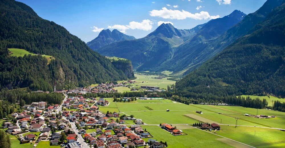
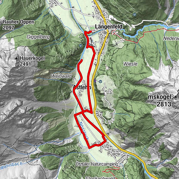
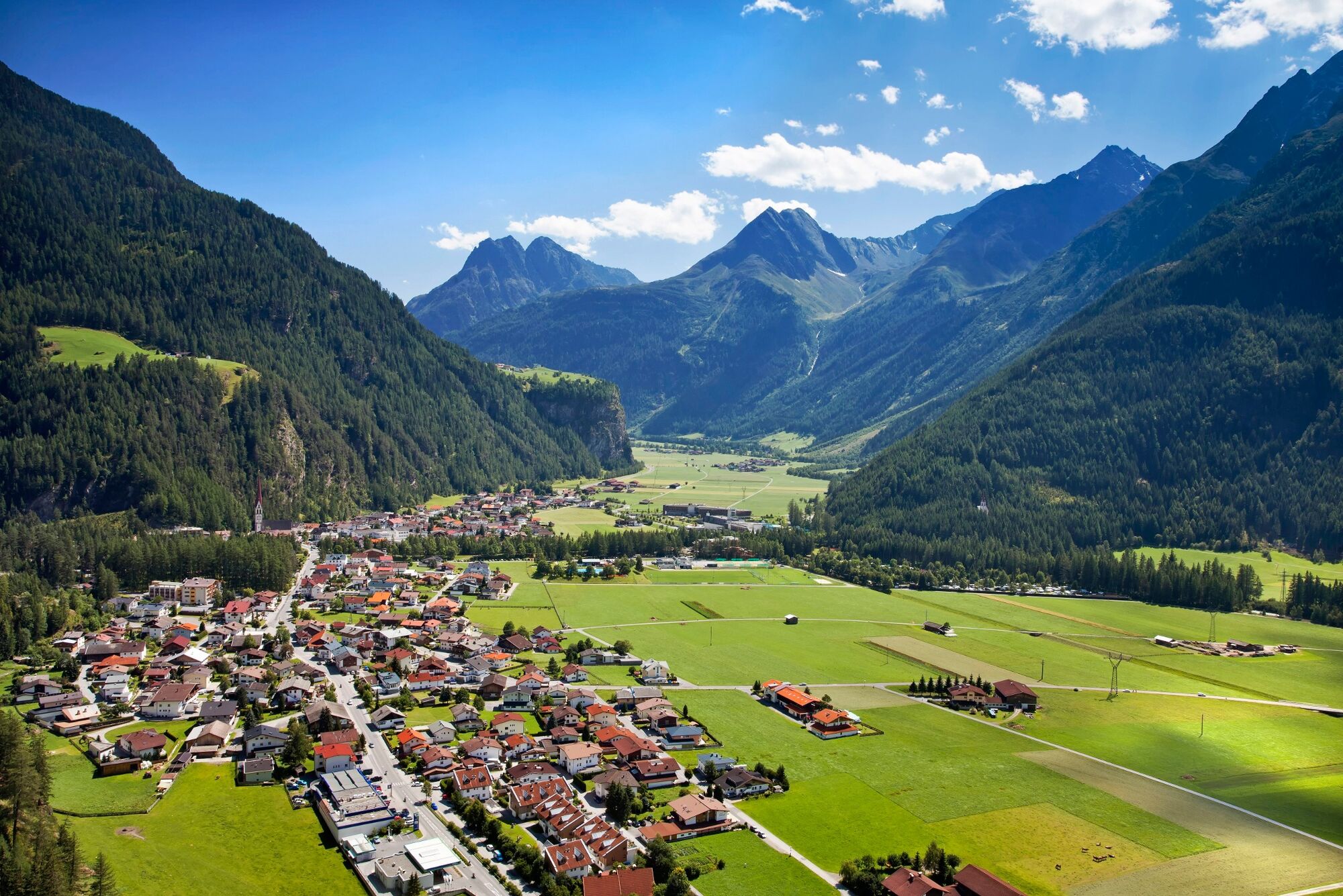
LÄNGENFELD -> Ötztaler Ache -> Astlehn -> Runhof -> Huben -> Runhof -> Astlehn -> LÄNGENFELD
- Difficulty
-
easy
- Rating
-
- Starting point
-
Campsite Ötztal in Längenfeld
- Route
-
Längenfeld (1,179 m)Astlehn2.0 kmMaria Himmelfahrt3.0 kmHuben (1,198 m)4.9 kmAstlehn7.0 km
- Best season
-
JanFebMarAprMayJunJulAugSepOctNovDec
- Description
-
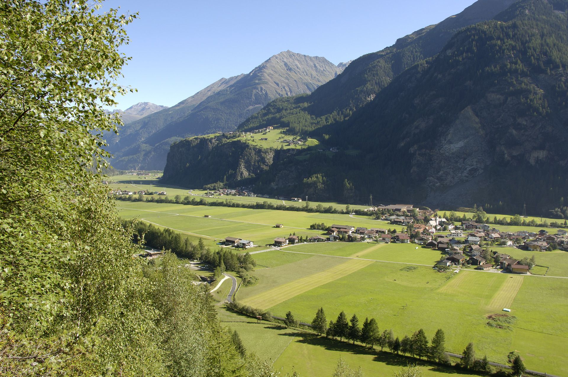
The Camping Ötztal is the starting point for this circular walk. At the beginning you hike a short distance along the Ötztaler Ache past the thermal bath "Aqua Dome". At the first junction keep left until you reach the access road of the bath. On the right side, a small chapel comes into view. Directly past this, the hiking trail leads past the hamlet of Astelehn to Runhof. Here the path leads right past the few houses to the bridge which is crossed. Follow the signs to Gottsgut, past the fun park (only open in summer), continue straight ahead to the football pitch in Huben. Now you leave the hiking trail for a short distance and walk along the road through a small settlement to the fire station. Here the road is crossed and you follow the Ötztaler Ache valley out to Runhof. There the bridge is crossed and on the other side of the river one goes back to Längenfeld.
- Directions
-
From Camping Ötztal you start at the Aqua Dome. Along the meadows to Runhof runs a beautiful hiking trail. After crossing the bridge you stay on this path past the fish pond and the fun park to the football field. Just continue past the houses to the fire station. The Ache along back to Runhof. Cross this bridge again and on the other side of the river back to Längenfeld.
- Highest point
- 1,188 m
- Endpoint
-
Campsite Ötztal in Längenfeld
- Height profile
-

- Equipment
-
Appropriate equipment such as breathable suitable outdoor clothes for the weather.
- Safety instructions
-
Easy hike; suitable for beginners and walkers. Please pay attention to the current weather report.
- Tips
-
Since the path is mostly flat, it is also suitable for wheelchair user and children's push chair. (forest track & gravel path)
- Additional information
- Directions
-
The car drive to the Ötztal valley. Situated in Tirol, the Ötztal valley set off in southerly direction and is the
longest side valley in the Eastern Alps. The journey with the car leads you through the Inntal valley to the
entrance of the valley and further on through the valley. Among the toll motorways you can also use the country
roads. A route planner will show you the easiest and most convenient way: https://www.google.at/maps
- Public transportation
-
Travel safe and comfortable with the train to the Ötztal Bahnhof train station. Last stop and exit point is the
train station Ötztal Bahnhof. Afterwards you can travel smoothly and quick with the public transport or our local
taxi companies through the valley to your desired destination. Please find the current bus timetable here:
http://fahrplan.vvt.at
- Parking
-
The following parking facilities are available in Längenfeld:
Sports center - free of charge
Center of Längenfeld (small number of parking spaces) free of charge
- Author
-
The tour Round hiking trail Längenfeld / Huben - Längenfeld is used by outdooractive.com provided.


-
Ötztal
1111
-
Längenfeld - Huben - Gries
355


