Tour data
9.01km
1,345
- 1,937m
672hm
05:30h
- Brief description
-
Weg Nr. 461 – auf der Forststraße bzw. Güterweg leicht, abseits davon auf markierten Wanderwegen etwas schwieriger.
- Difficulty
-
easy
- Rating
-
- Starting point
-
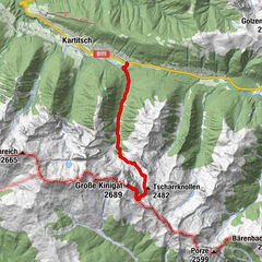
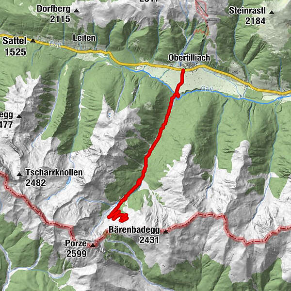
Obertilliach/Hotel Weiler
- Route
-
RodarmObertilliachPorzehütte9.0 km
- Best season
-
JanFebMarAprMayJunJulAugSepOctNovDec
- Highest point
- 1,937 m
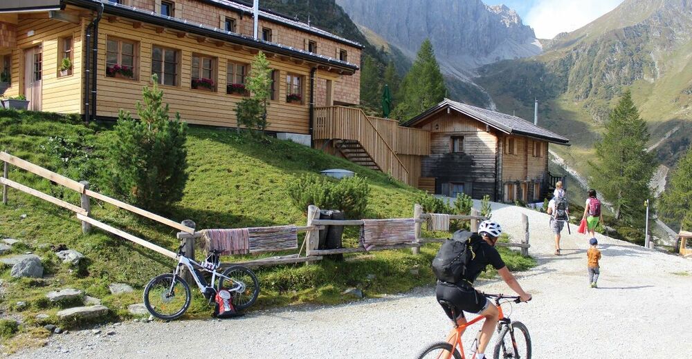
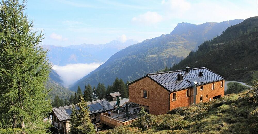
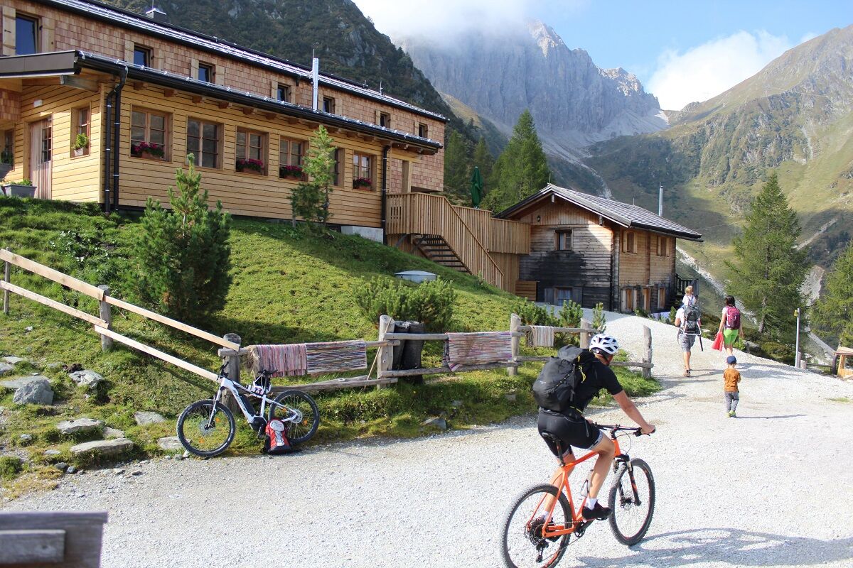
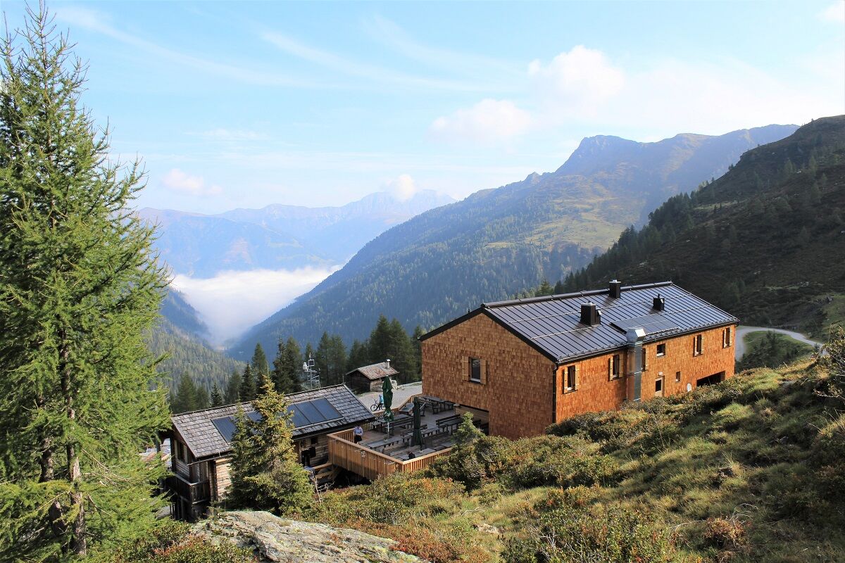
- Rest/Retreat
-
In/bei der Porzehütte mit herrlichem Blick auf das Haufendorf Obertilliach. Diese ist von Mitte Juni bis Ende September bewirtschaftet.
- Ticket material
-
Wanderkarte Hochpustertal/Verlag Mayr, Kompass-WK Lienzer Dolomiten/Lesachtal
GPS Downloads


Trail conditions
Asphalt
(1 km vom D)
Gravel
(8 km vom M)
Meadow
Forest
Rock
Exposed
Other tours in the regions