
- Brief description
-
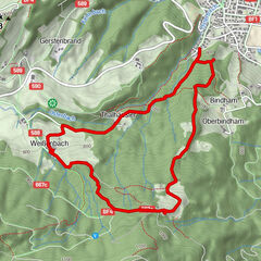
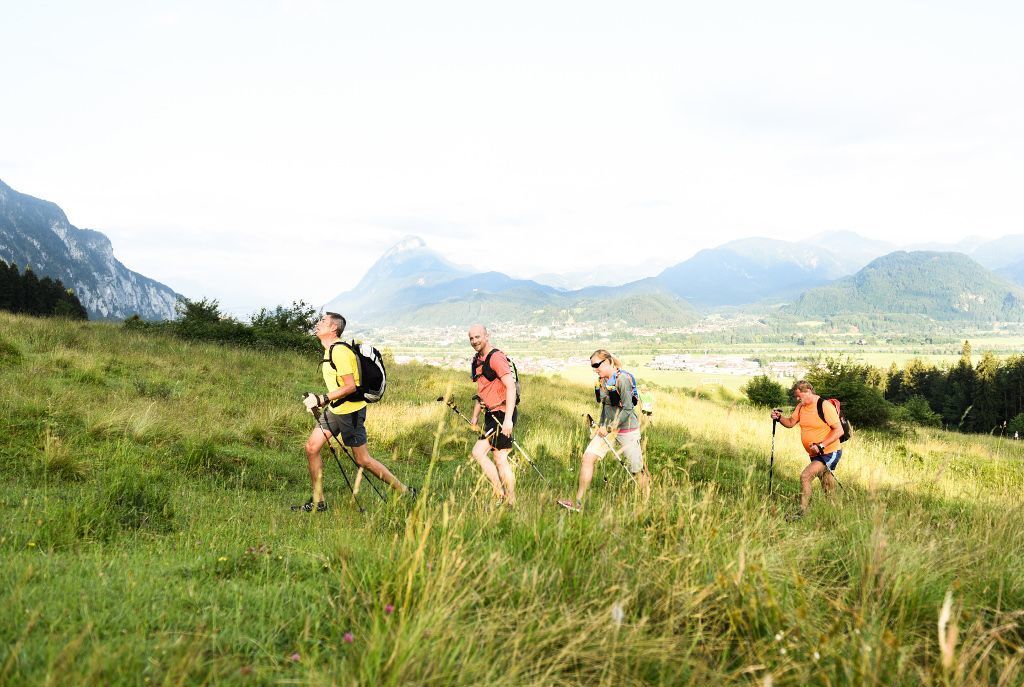
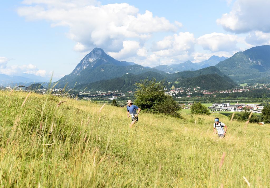
Hike at the foot of the Zahmer Kaiser 12 kilometers through Ebbs.
- Difficulty
-
easy
- Rating
-
- Starting point
-
Schulhof Ebbs
- Route
-
EbbsOberndorf2.1 kmFährstelle Ebbs4.1 kmEichelwang4.8 kmKufstein5.1 kmOberndorf9.6 kmEbbs11.2 km
- Best season
-
JanFebMarAprMayJunJulAugSepOctNovDec
- Description
-
Starting at the schoolyard in Ebbs you walk through fields to the Inndamm. Along the Innweg you reach Eichelwang and thus reach the turning point. Passing the "Schottergrubn" you walk along the edge of the forest right at the foot of the Zahmer Kaiser. At the height of Oberndorf you leave the forest path and walk the last few kilometers through Oberndorf back to Ebbs in the center.
- Highest point
- 489 m
- Endpoint
-
Schulhof Ebbs
- Height profile
-

- Equipment
-
Outdoor clothing appropriate to the weather (good footwear, rain protection, breathable clothing...), snacks (e.g. fruit, muesli bars, wholemeal breads) and drinks (allow for sufficient fluids), first aid equipment, mobile phone with full battery, Hiking map and guide literature, sun protection (sun cream and glasses, cap)
- Directions
-
From the Inntal motorway A12 take the Niederndorf/Oberaudorf exit.
- Public transportation
-
From Kufstein, take bus line 4030 in the direction of Ebbs and get off at the Ebbs Schulzentrum stop.
With the KufsteinerlandCard within the region bus free of charge. - Parking
-
Community office or church square, free of charge.
- Author
-
The tour KOASA-Marsch Valley hike "12er" is used by outdooractive.com provided.


-
Kufsteinerland
2116
-
Ebbs
634