


- Brief description
-
Great, but demanding (because of the distance) hike to natures jewel Lake Zirein
- Difficulty
-
medium
- Rating
-
- Starting point
-
Brandenberg/Aschau, parking lot at the Wimm farm
- Route
-
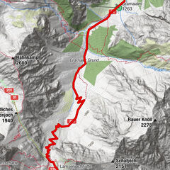
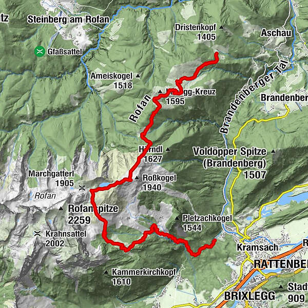
Brandl (1,145 m)0.1 kmEilalm (1,387 m)1.9 kmAnderl's Hütte3.1 kmLabegg Alm (1,545 m)3.7 kmKreuzeinalm Hochleger (1,652 m)5.3 kmZireiner See7.9 kmBergalm11.7 kmBayreuther Hütte (1,560 m)12.0 km
- Best season
-
JanFebMarAprMayJunJulAugSepOctNovDec
- Description
-
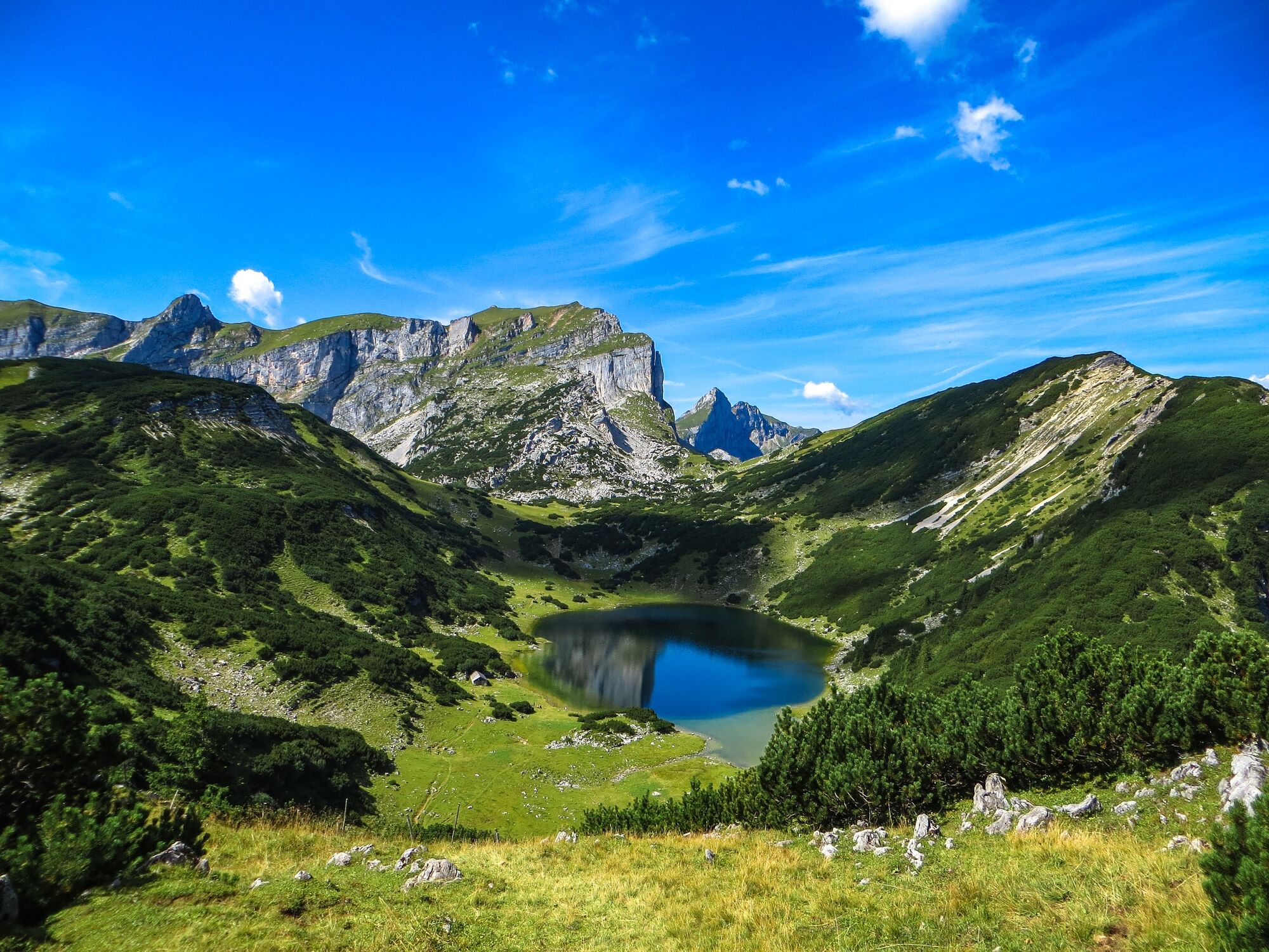
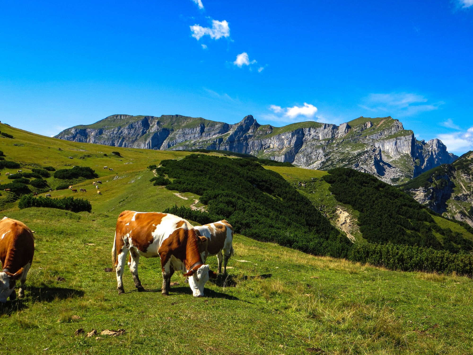
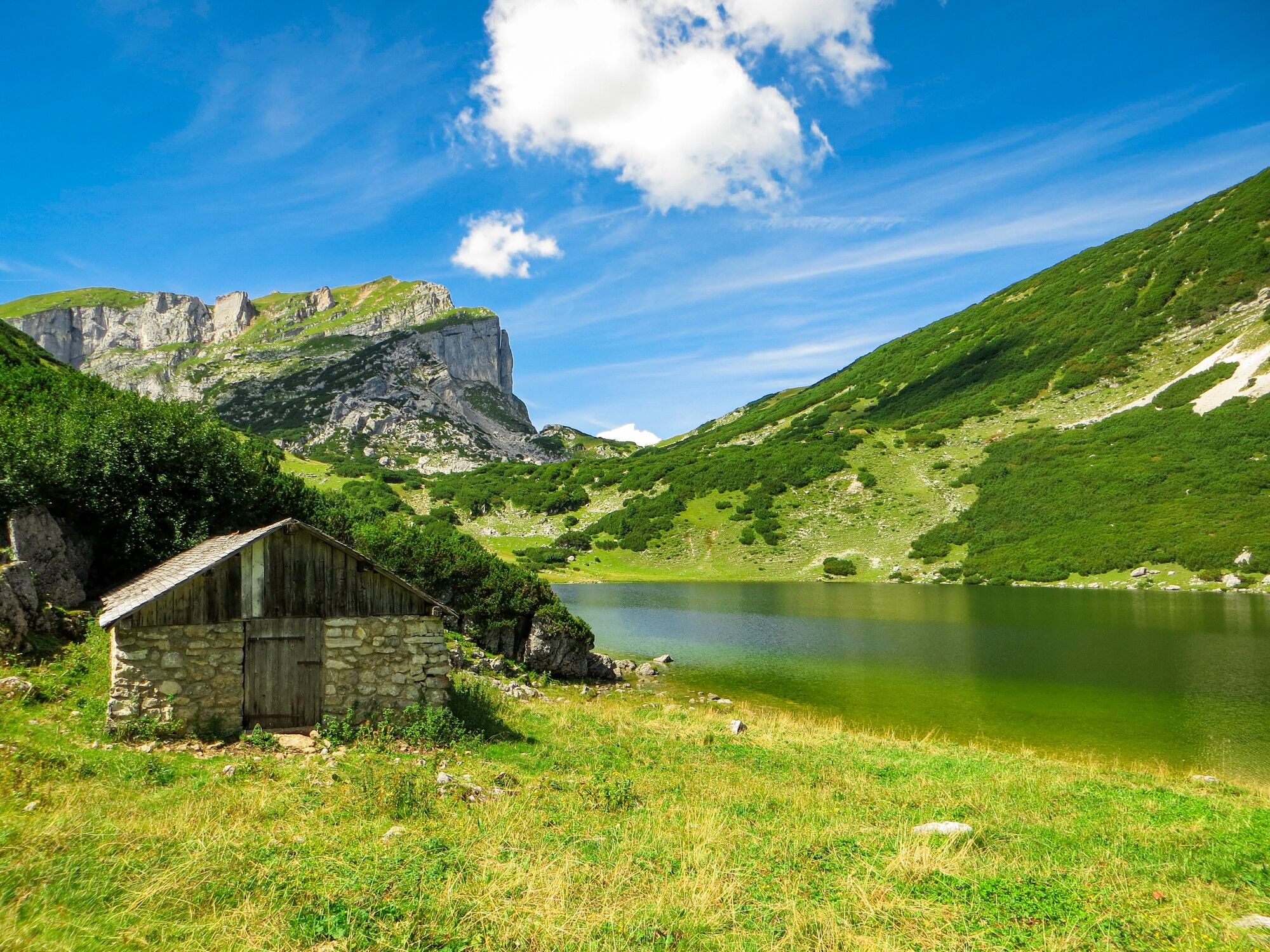
The goal off this high alpine, challenging mountain tour with the impressive Rofan Range backdrop is the legendary Lake Zirein. The hike is a bit of a challenge, but hikers are rewarded with magnificent panoramic views of the surrounding mountains along the way.
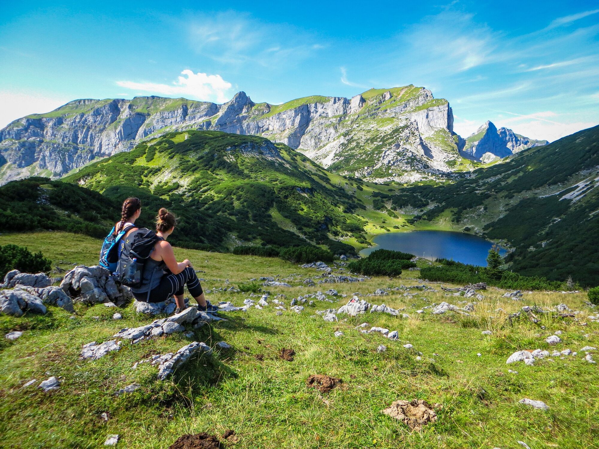
The highlight of the tour is Lake Zirein: it is one of the most beautiful mountain lakes in the Tyrol and lies idyllically in a valley basin. From the lake you have a fantastic view of the Rofanstock with the mighty Rofanturm as an eye-catcher.
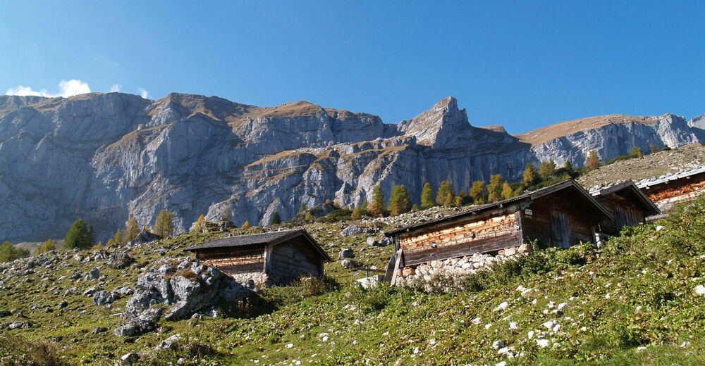
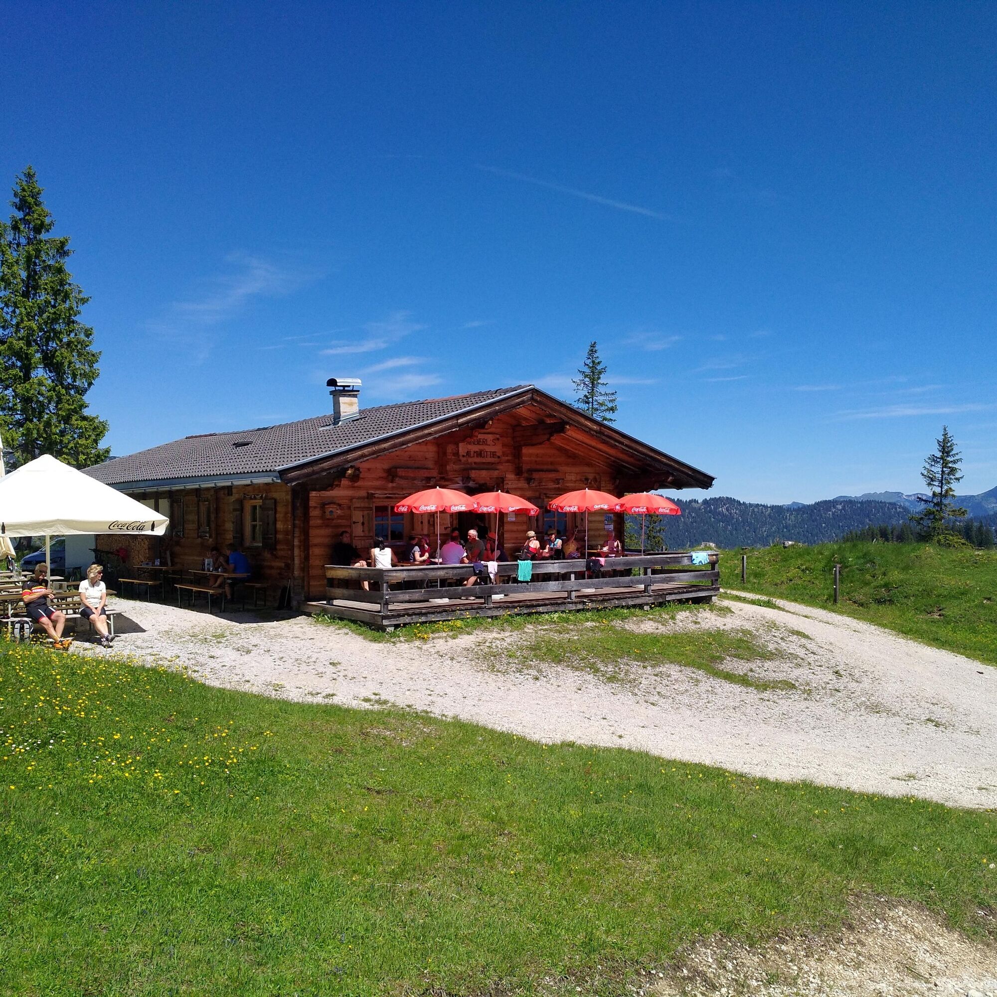
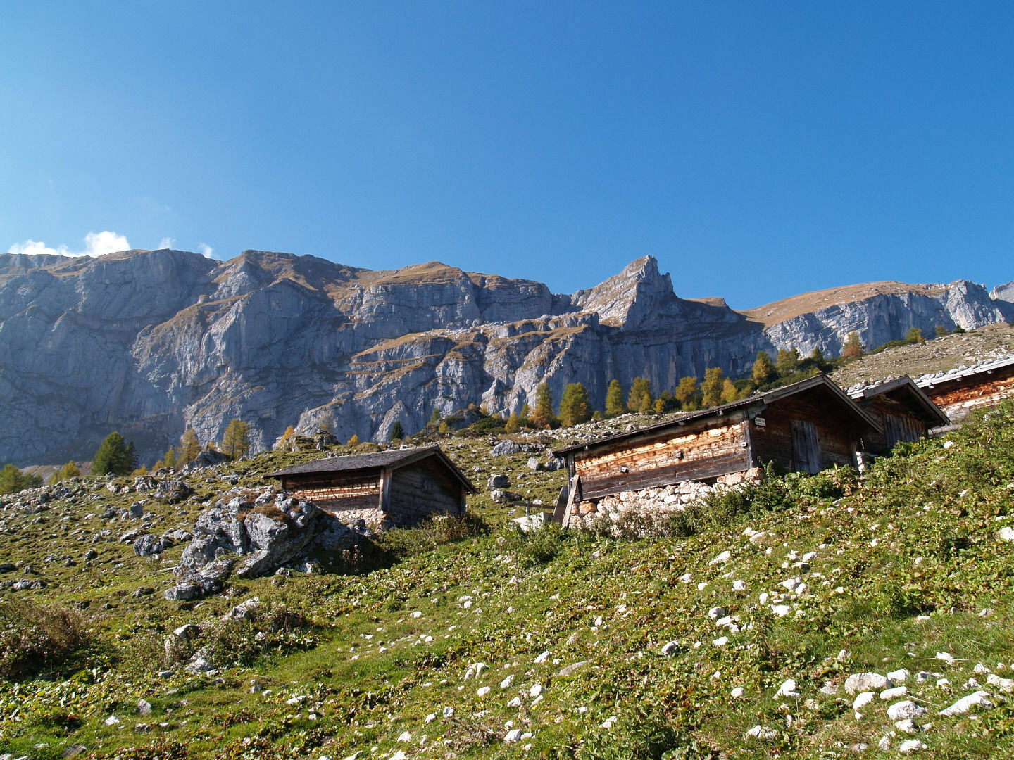
On this tour you hike on forest roads, partly across alpine meadows to the alpine pasture area in Aschau. After about 45 minutes you will reach Anderl's Almhütte, a popular place to stop for a snack, a refreshing drink and to take in the wonderful views.
Strengthened, you can continue the hike to Lake Zirein. The lake is also called the "blue eye in the Rofan" and is one of the most photographed mountain lakes in Austria due to its impressive beauty. After a rest at Lake Zirein, the trail continues via the Bayreuther Hütte and the Bergalm to Kramsach. From there, return to Brandenberg by taxi or car.
- Directions
-
Car park after the barrier at the Wimm farm in Brandenberg/Aschau - follow the signs for the Eilalm, Labegg and Kreuzein) via Anderl´s Hütte (place to get something to eat and drink; approx 45 min from the parking lot) - at the Kreuzein Hochleger the path leads up to the Rosswies and along a short downhill stretch to Lake Zirein (approx. 3 h from the parking lot) - from the Western point of the lake, hike uphill towards the Zireiner Alm, then a short stretch downhill and after the curve turn left - follow the signs for the Bayreuther Hütte and the Bergalm (approx. 4h 30 min) - from the Bayreuther Hütte and the Bergalm a track leads down to the Sonnwendjochbergbahn - defunct chairlift - (approx. 2 h) car park in Kramsach - take a taxi to retrieve your car!
- Highest point
- 1,890 m
- Endpoint
-
Kramsach, Sonnwendjochbergbahn (defunct chairlift) car park
- Height profile
-

- Equipment
-
Sturdy footwear and protective clothing
- Safety instructions
-
Please bear in mind that this tour is very long!
- Tips
-
On particularly hot days, it's worth taking a dip in the mountain lake's (very) cool water!
- Additional information
- Directions
-
A12, motorway exit Kramsach, towards Kramsach, Sonnwendjochbergbahn (defunct chairlift), towards Aschau, though the village to the "Wimm" farm, cross the cattle grid to the gravel car park
- Public transportation
-
Not applicable. We recommend travelling by car and taking a taxi for the return journey to the starting point.
- Parking
-
Wimm farm car park/Aschau/Brandenberg

- Author
-
The tour Lake Zirein from Aschau/Wimm is used by outdooractive.com provided.


General info
-
Alpbachtal
1501
-
Münster
542