
- Brief description
-
After fun and play in the "Lauserland" and on the "Lauser Sauser" Alpine Coaster finish the day off with a pleasant downhill walk for the whole family
- Difficulty
-
medium
- Rating
-
- Starting point
-
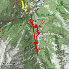
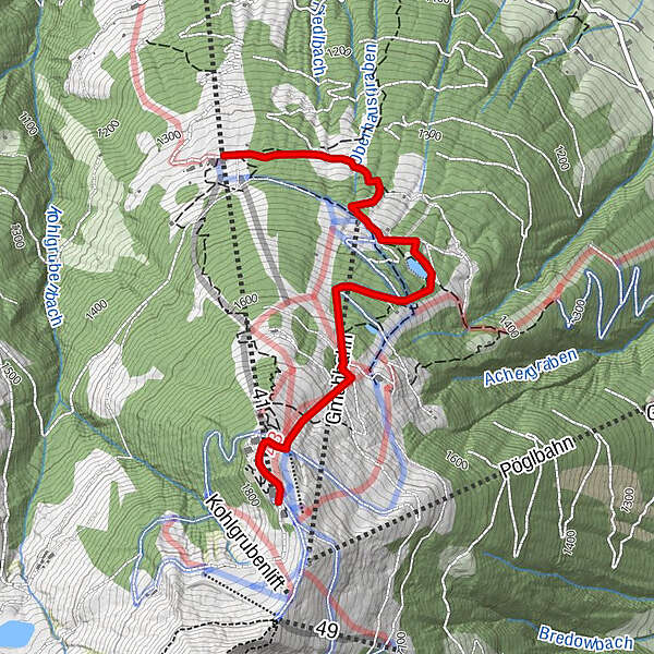
Wiedersbergerhornbahn top station
- Route
-
Dauerstoa AlmHornboden0.2 kmGmahbahn2.0 kmKlingleralm (1,392 m)2.1 kmUnterhausalm2.5 km
- Best season
-
JanFebMarAprMayJunJulAugSepOctNovDec
- Description
-
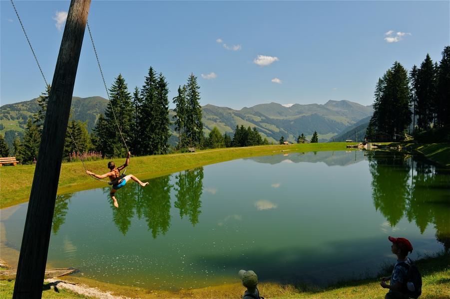
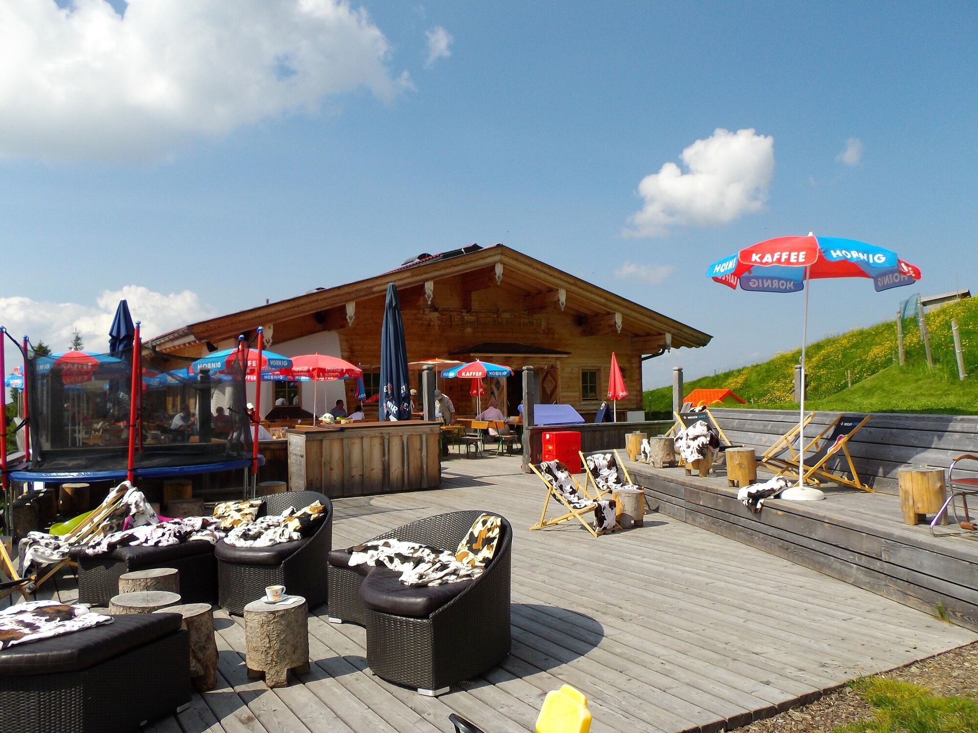
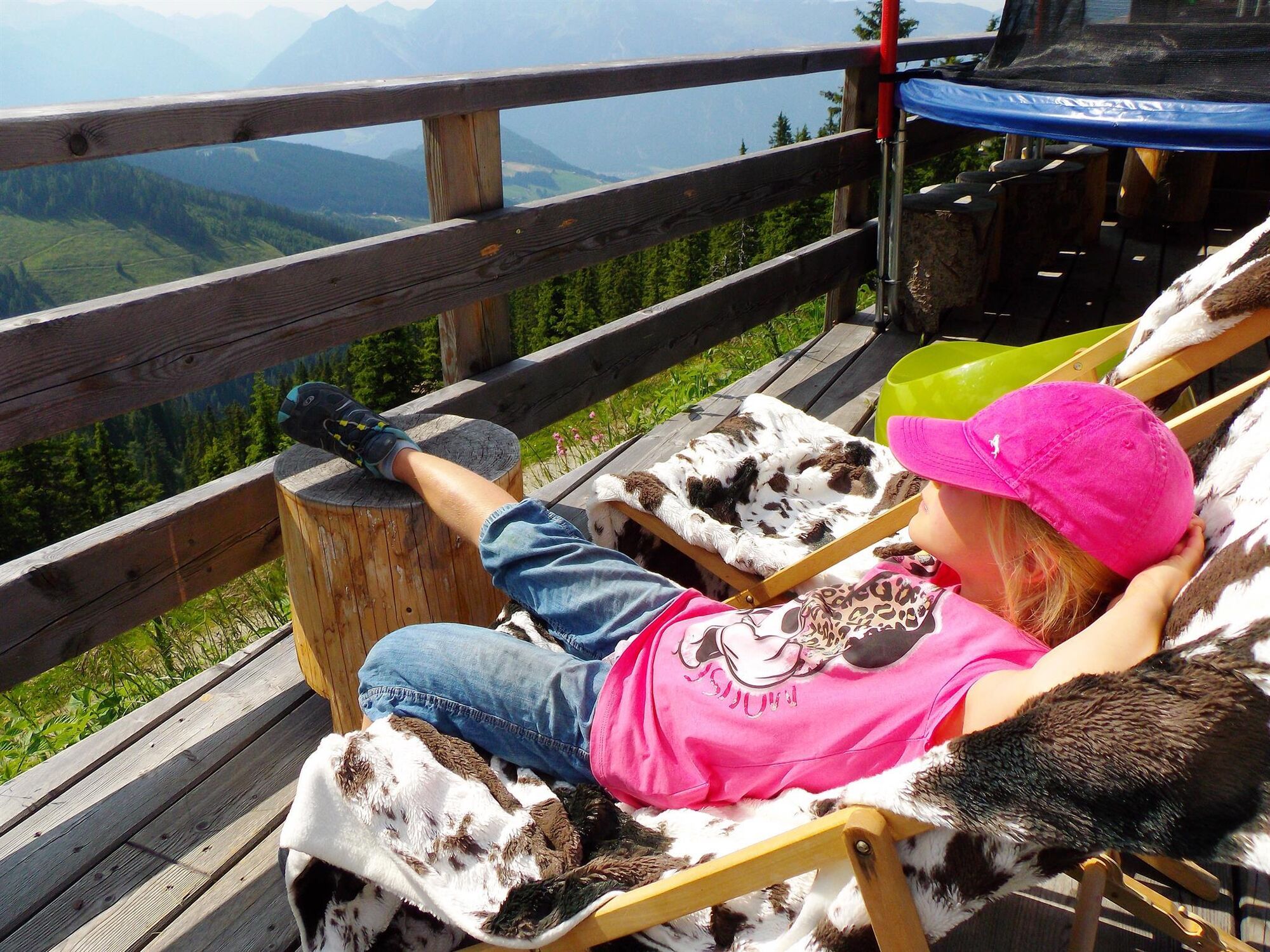
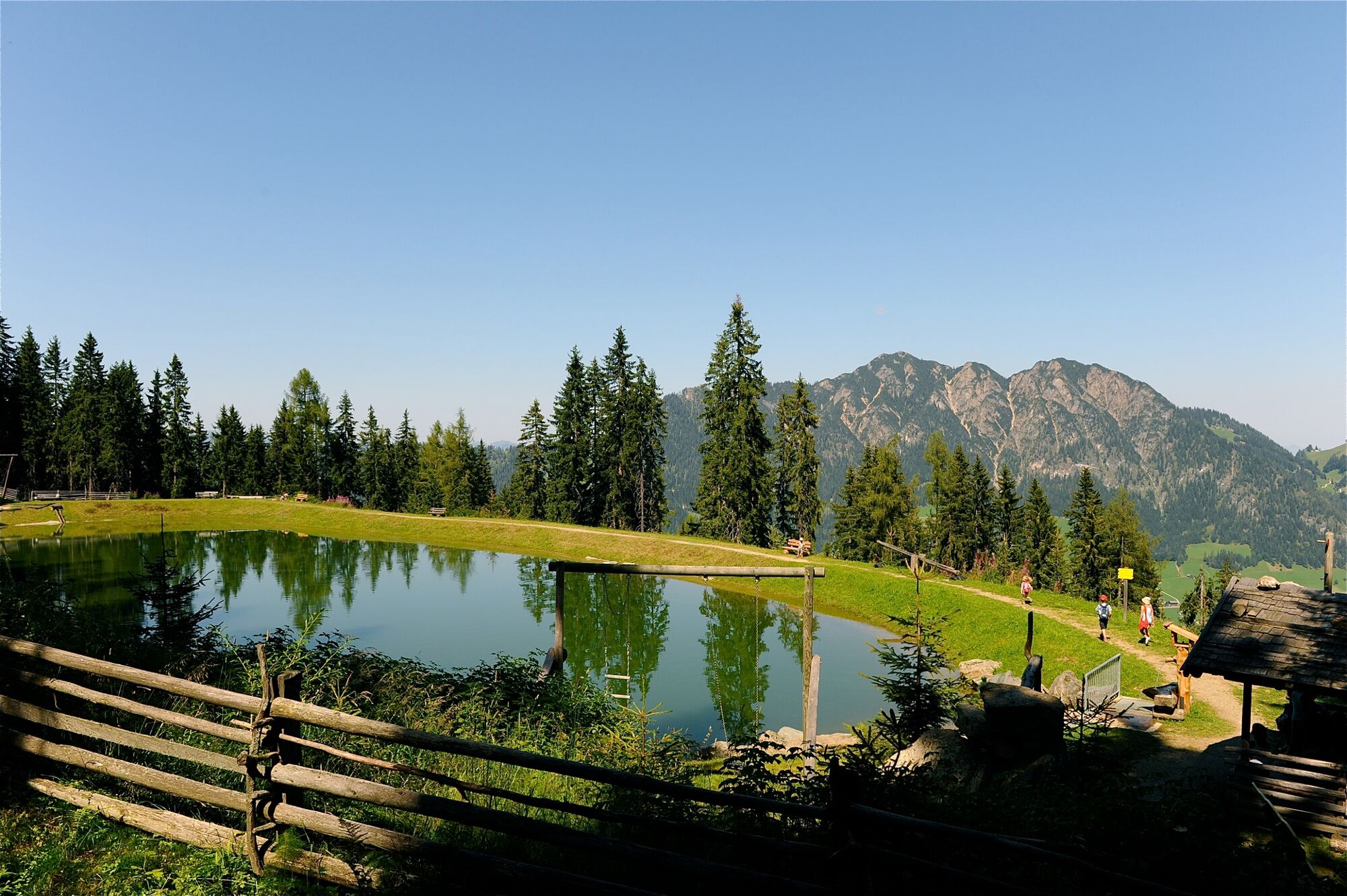
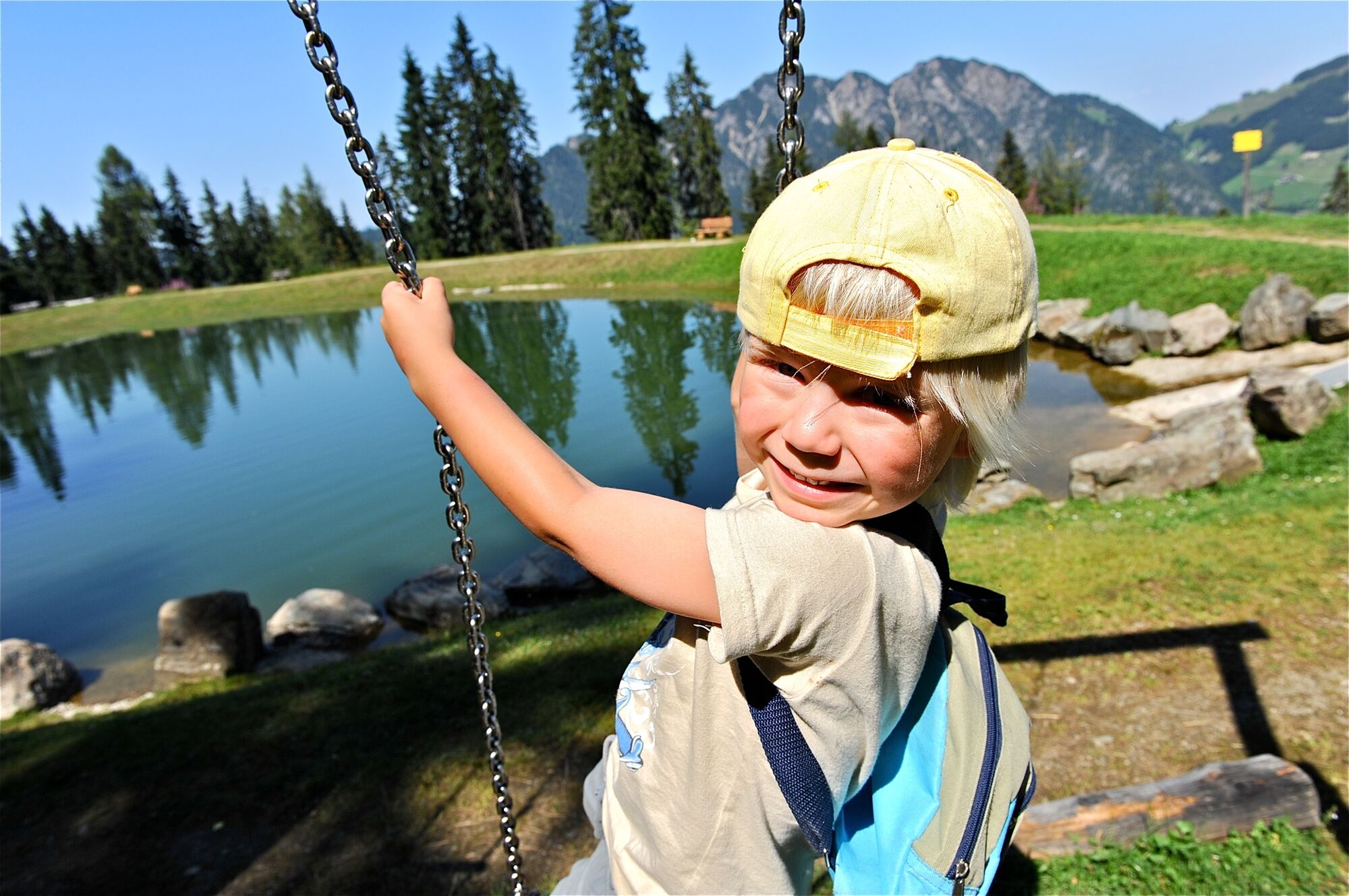
This hike is an experience for the whole family and an exciting familys' day out on the mountain. At the top of the Wiedersbergerhorn gondola station, the Lauserland awaits young and old explorers. Children can have plenty of fun in the large mountain top playground, from the giant bouncy cushion to the low ropes course and pond! Continue along the Teichweg to the gondola middle station. In a pleasant forest clearing with a large pond, a playground and barbecue facilities await you.
Tip: You can borrow baby carriers at the Bergbahn.
- Directions
-
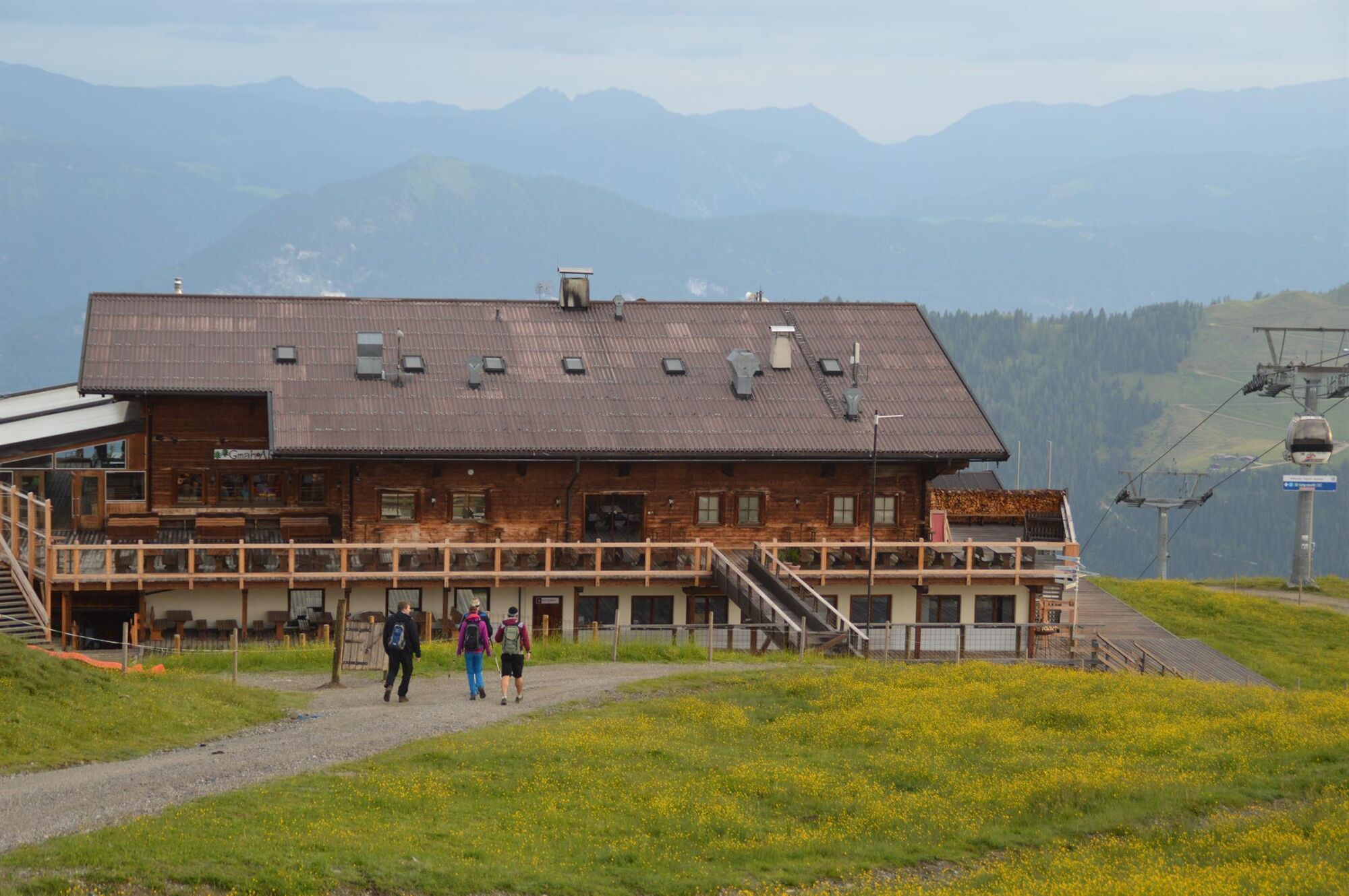
Take the Wiedersbergerhornbahn to the top station, the Lauserland an adjacent mountain top playground and the Lauser Sauser Alpine Coaster. Walk towards the Berggasthof Hornboden. Continue along the Teichweg to the gondola middle station. In a pleasant forest clearing with a large pond, a playground and barbecue facilities await you.
- Highest point
- 1,839 m
- Endpoint
-
Wiedersbergerhornbahn middle station
- Height profile
-

- Equipment
-
Sturdy footwear and suitable clothing, dry clothes to change into
- Tips
-
A visit at the Lauserland can be a splash; a change of dry clothing for children is recommended!
- Directions
-
A12, motorway exit Kramsach/Brixlegg, towards Brixlegg, Alpbachtal, Wiedersberghornbahn
- Public transportation
- Parking
-
Wiedersberghornbahn car park


- Author
-
The tour Pond Walk (Teichweg) is used by outdooractive.com provided.


General info
-
Alpbachtal
1502
-
Alpbach
494