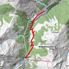
Reitherkogel top station - bottom station via Almstüberl Gschwendt


- Brief description
-
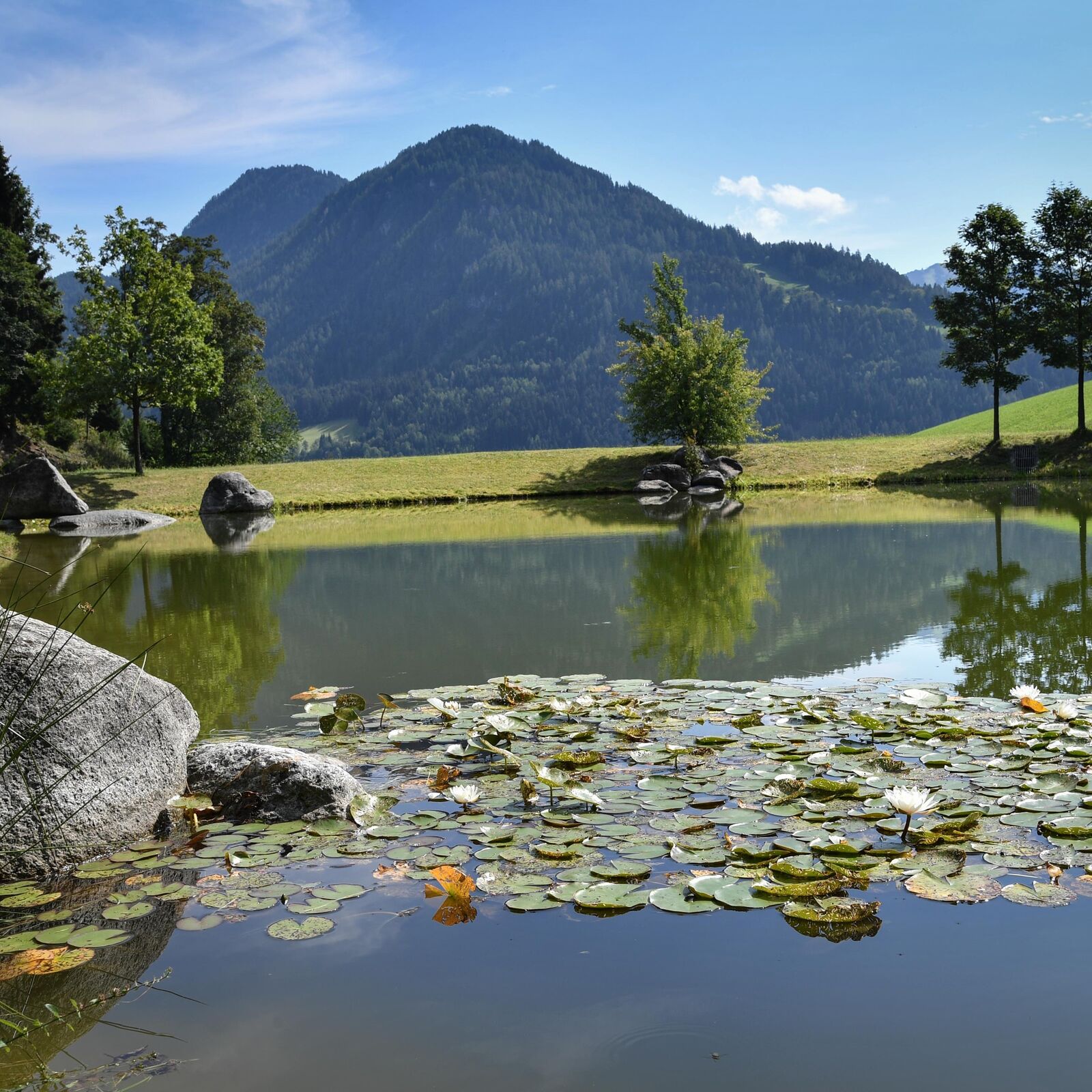
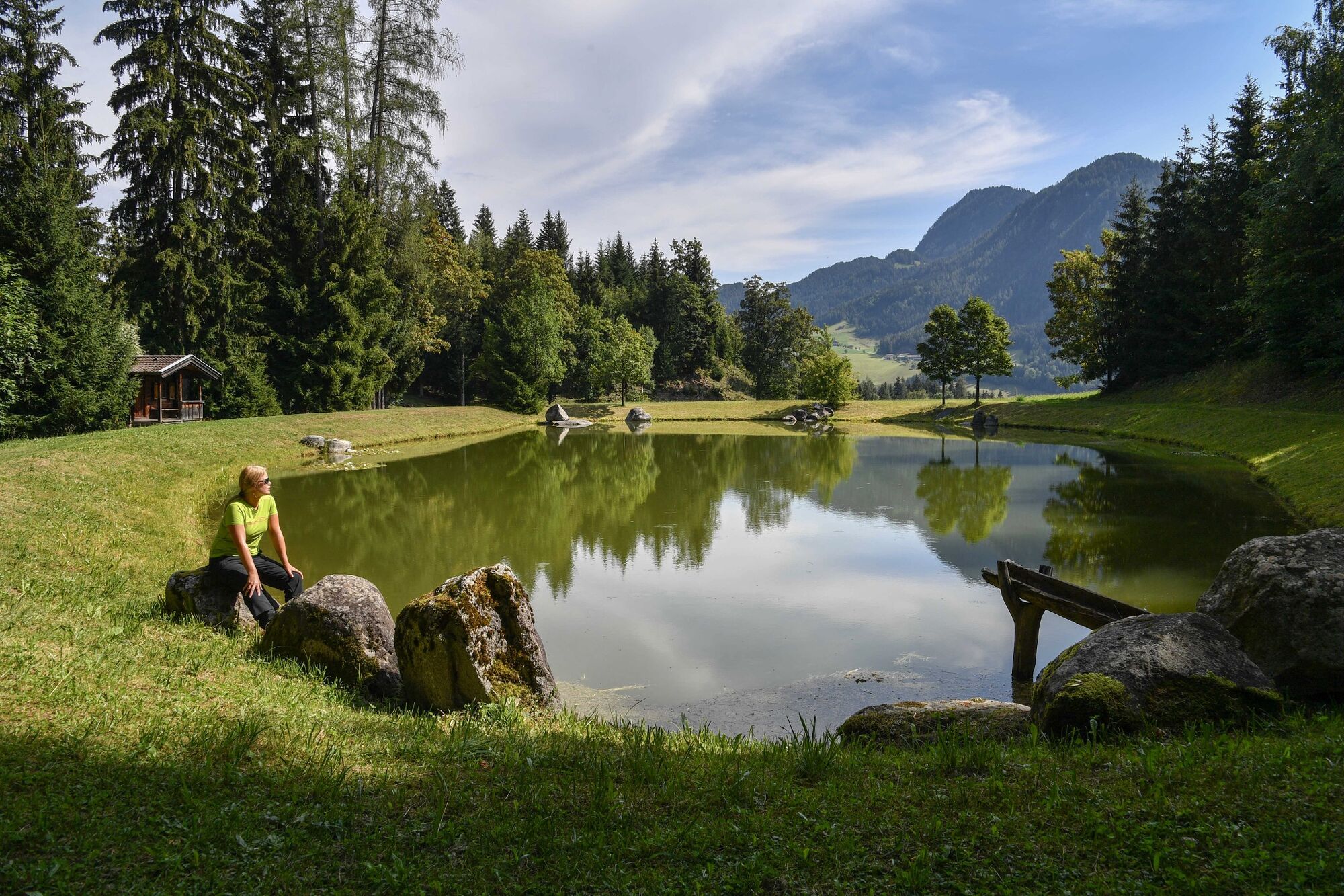
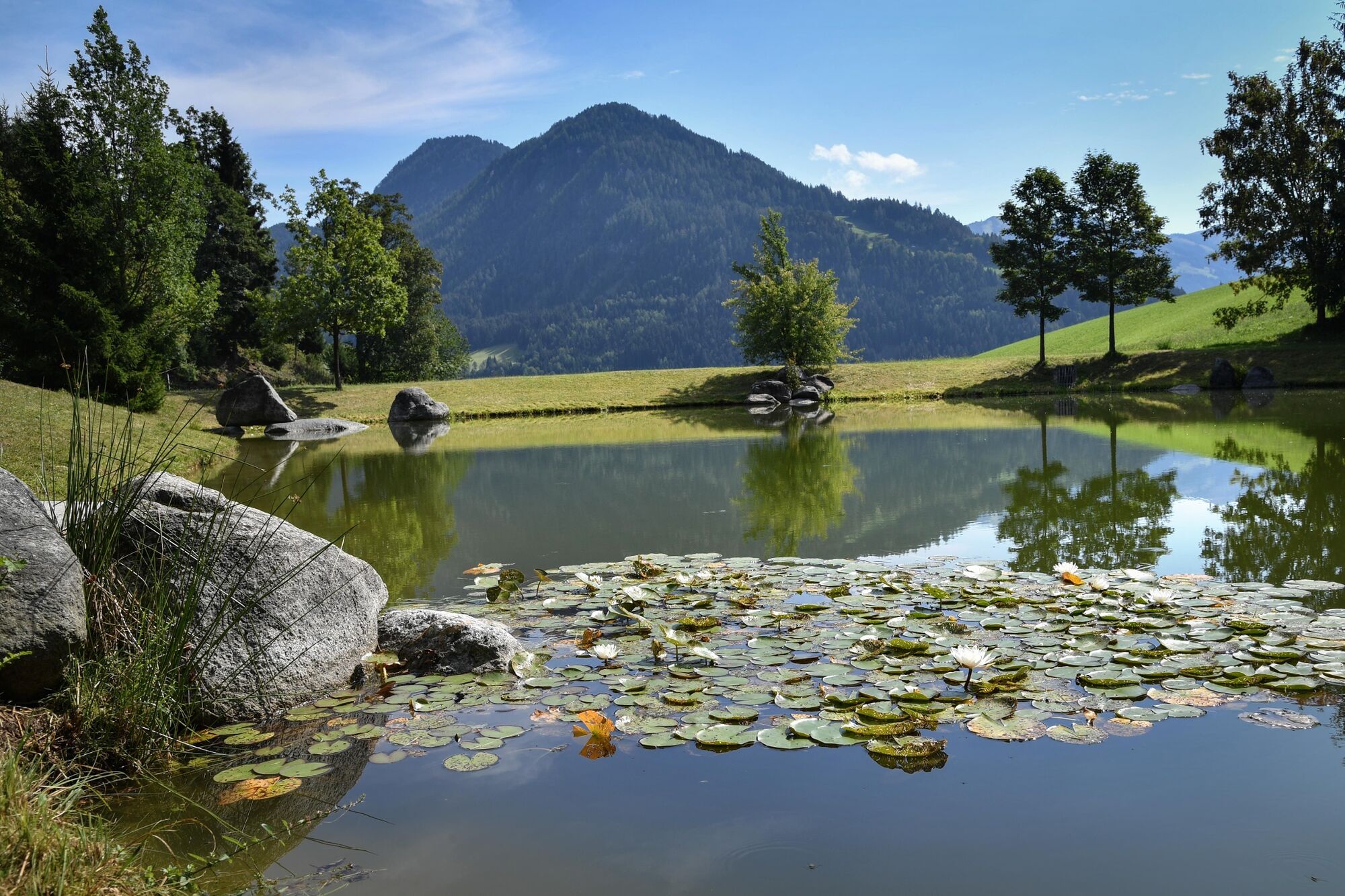
Gentle downhill hike with splendid views over the Inn Valley, Rofan Range and Karwendel mountains
- Difficulty
-
medium
- Rating
-
- Starting point
-
Reitherkogelbahn top station
- Route
-
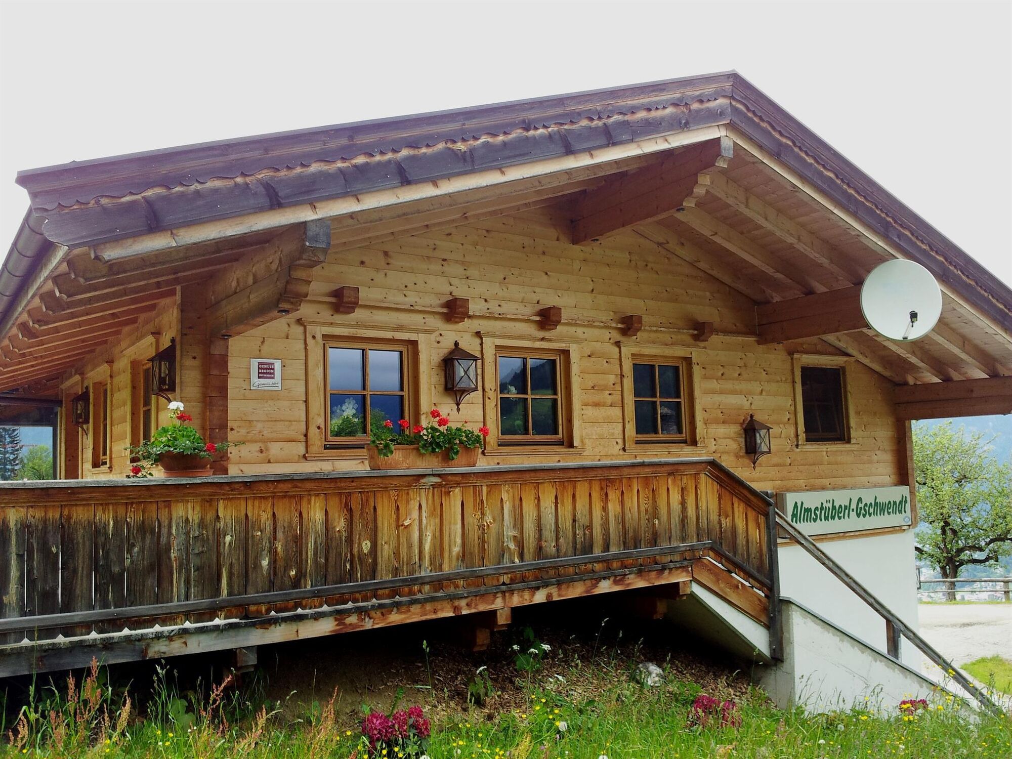
Gschwendt Almstüberl2.4 kmWölzenberg Kapelle3.3 kmReith im Alpbachtal (638 m)5.1 km
- Best season
-
JanFebMarAprMayJunJulAugSepOctNovDec
- Description
-
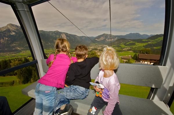
Take the 8-person Reitherkogelbahn gondola (closed on Wednesdays) to the top. Take the path leading to the Nisslhof and turn right following the course of the road to the Rosenkranzkapelle (Rosary chapel). At the chapel turn left and follow the road direction Almstüberl Gschwendt.
From the Almstüberl Gschwendt walk downhill along the road to the water reservoir and then turn left. Walk along a forest track past the Wölzenberg farm - steep stretch!! After approx. 10 min. one reaches the Angerer farm. Keep on the path towards Reith i.A. village centre and the Reitherkogelbahn bottom station (start).
- Directions
-
Take the 8-person Reitherkogelbahn gondola (closed on Wednesdays) to the top - take the path leading to the Nisslhof - turn right following the course of the road to the Rosenkranz Chapel (Rosary chapel) - at the chapel turn left - follow the road towards the Almstüberl Gschwendt - from the Almstüberl Gschwendt walk downhill along the road to the water reservoir - then turn left - walk along a forest track past the Wölzenberg farm (steep stretch!!) - after approx. 10 min. one reaches the Angerer farm - keep on the path towards Reith i.A. village centre and the Reitherkogelbahn bottom station (start).
- Highest point
- 1,201 m
- Endpoint
-
Reitherkogelbahn bottom station
- Height profile
-

- Equipment
-
Sturdy shoes
- Tips
-
Pay a visit to the Rosenkranz Chapel and press the button.
Please observe the the Reitherkogelbahn (closed on Wednesdays) opening hours.
The shore by the reservoir is also a good place for a picnic. - Directions
-
A12, motorway exit Kramsach/Brixlegg, towards Brixlegg, Alpbachtal, Reitherkogelbahn
- Public transportation
- Parking
-
Reitherkogelbahn car park

- Author
-
The tour Reitherkogel top station - bottom station via Almstüberl Gschwendt is used by outdooractive.com provided.


General info
-
Alpbachtal
1502
-
Reith im Alpbachtal
517