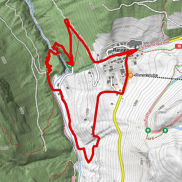
Tour data
3.8km
1,128 - 1,273m
Distance
101hm
126hm
Ascent
00:15h
 
Duration
Rating
Technique
Fitness
Landscape
Experience
Route
Stadl Bräu
0.0 km
Rotlechwasserfall
1.0 km
Rauth
2.0 km
Rimmlstube
3.4 km
Sankt-Sebastian Kapelle
3.7 km
Rinnen
3.8 km
Highest point
1,273 m

Overall rating

5

0

%

4

0

%

3

0

%

2

0

%

1

0

%

Error
An error has occurred. Please try again.
Thank you for your review

Rating has been deleted

GPS Downloads
  • GPX GPS Exchange Format (XML)
  • KML Google Earth, Google Maps
QR Download Codes for Mobile Phones
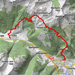
Other tours in the regions

Popular tours in the area

Bichlbacher Alm - Tuftlalm - Lermoos

medium Hiking
8.2km | 860hm | 04:00h

Zur Kohlbergspitze

medium Hiking
4.9km | 1127hm | 05:00h

Adlerhorst und Haldensee

easy Hiking
8.86km | 264hm | 02:30h