- Brief description
-
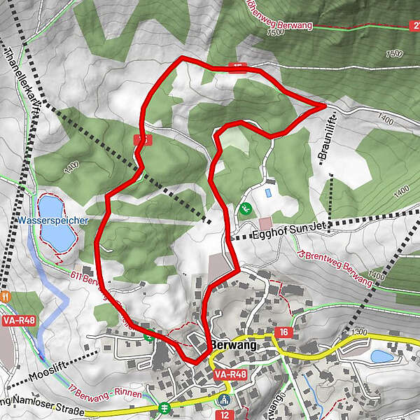
Circular walk trough the forest "Biligwald"
- Difficulty
-
easy
- Rating
-
- Starting point
-
Tourismusbüro/Gemeindehaus Berwang im Oberdorf
- Route
-
Egghof Sun Jet2.5 kmDer Bär (Beim Schnapsbrenner)2.9 kmBerwang (1,342 m)2.9 km
- Description
-
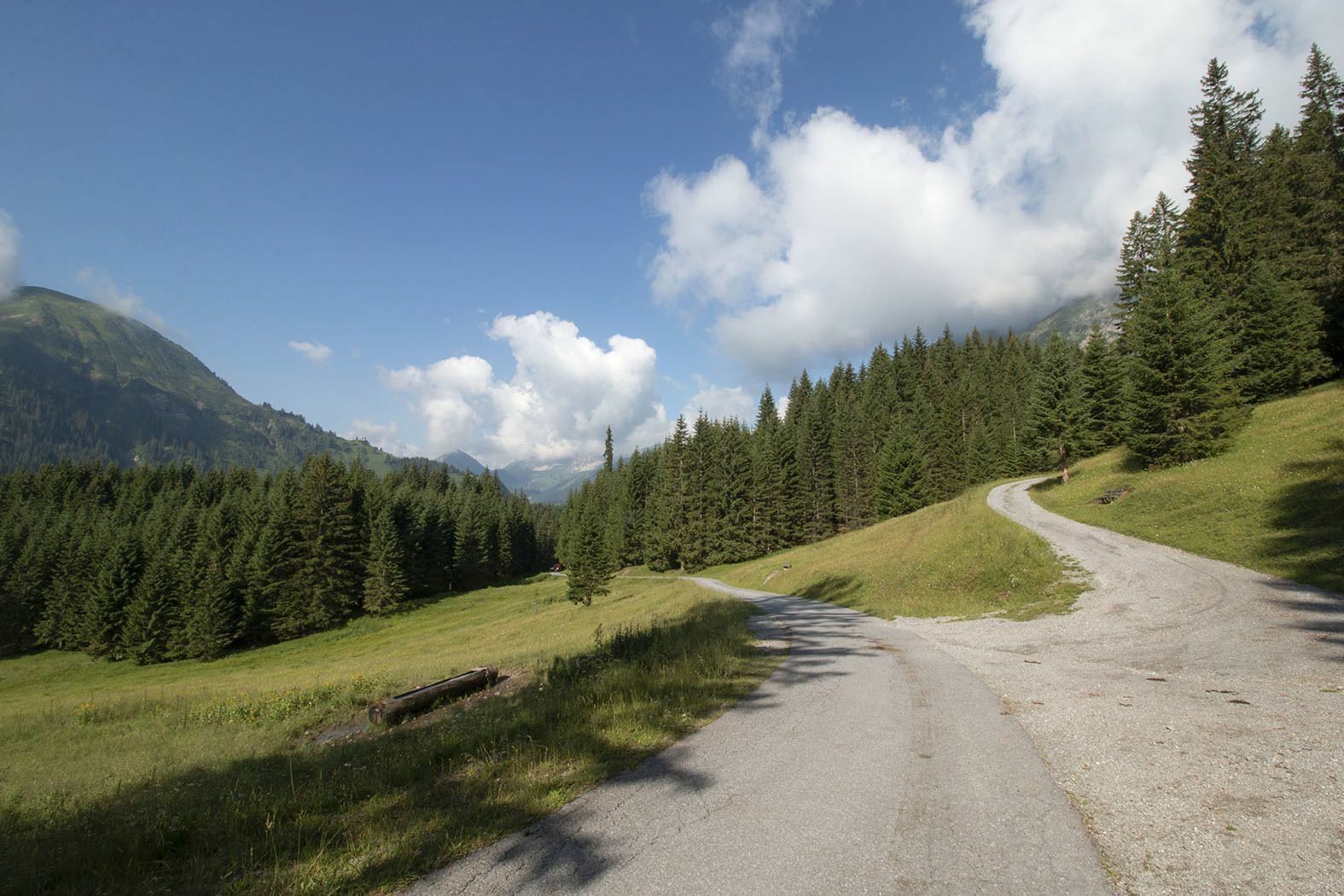
The circular path starts at the tourist office Berwang. First on the sidewalk up to the Hotel Kaiserhof, then keep right to the farm Joselerhof. Before that, turn right onto the gravel path and follow the signs Biligweg-Hochalm. On the way there is the possibility to turn to the Heiterwanger Hochalm or a little later to the Jägerhaus (these routes are also suitable for pushchairs).
Stay on the path Biligweg, turn right onto the paved path and end the walk towards the village. Then there are 2 options, either straight past the Kneipp facility or on the left past the summer sports center Bärenarena and a large playground to the Egghof car park. From there back to the starting point tourist office. - Highest point
- 1,416 m
- Rest/Retreat
-
Bärenbuffet beim Freischwimmbad, Jägerhaus, Hochalm
Beachten Sie die Öffnungszeiten! - Equipment
-
Appropriate clothing, sturdy shoes, rain protection, sun protection, hiking poles, sufficient water. No climbing equipment required.
- Safety instructions
-
● Stay on the marked hiking trails
● Keep your distance from grazing animals
● Be aware of the mountain hut opening hours
● Alpine emergency call: 140 - Ticket material
-
maps.zugspitzarena.com
Wanderkarte mit Tourenbooklet im Tourismusbüro Berwang erhältlich. - Public transportation
-
Summer & hiking bus of the Tiroler Zugspitz Arena (free with guest card or Z-ticket), Postbus (free with guest card or Z-ticket in the region)
- Source
- Tiroler Zugspitz Arena - Büro Berwang


Trail conditions
-
Naturparkregion Reutte
1432
-
Berwang
307