- Brief description
-
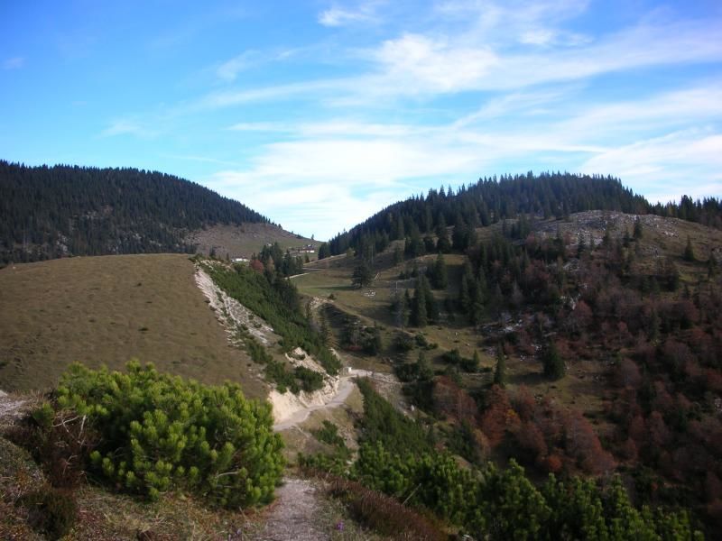
Varied route past four Alms (high pasture huts)
- Difficulty
-
medium
- Rating
-
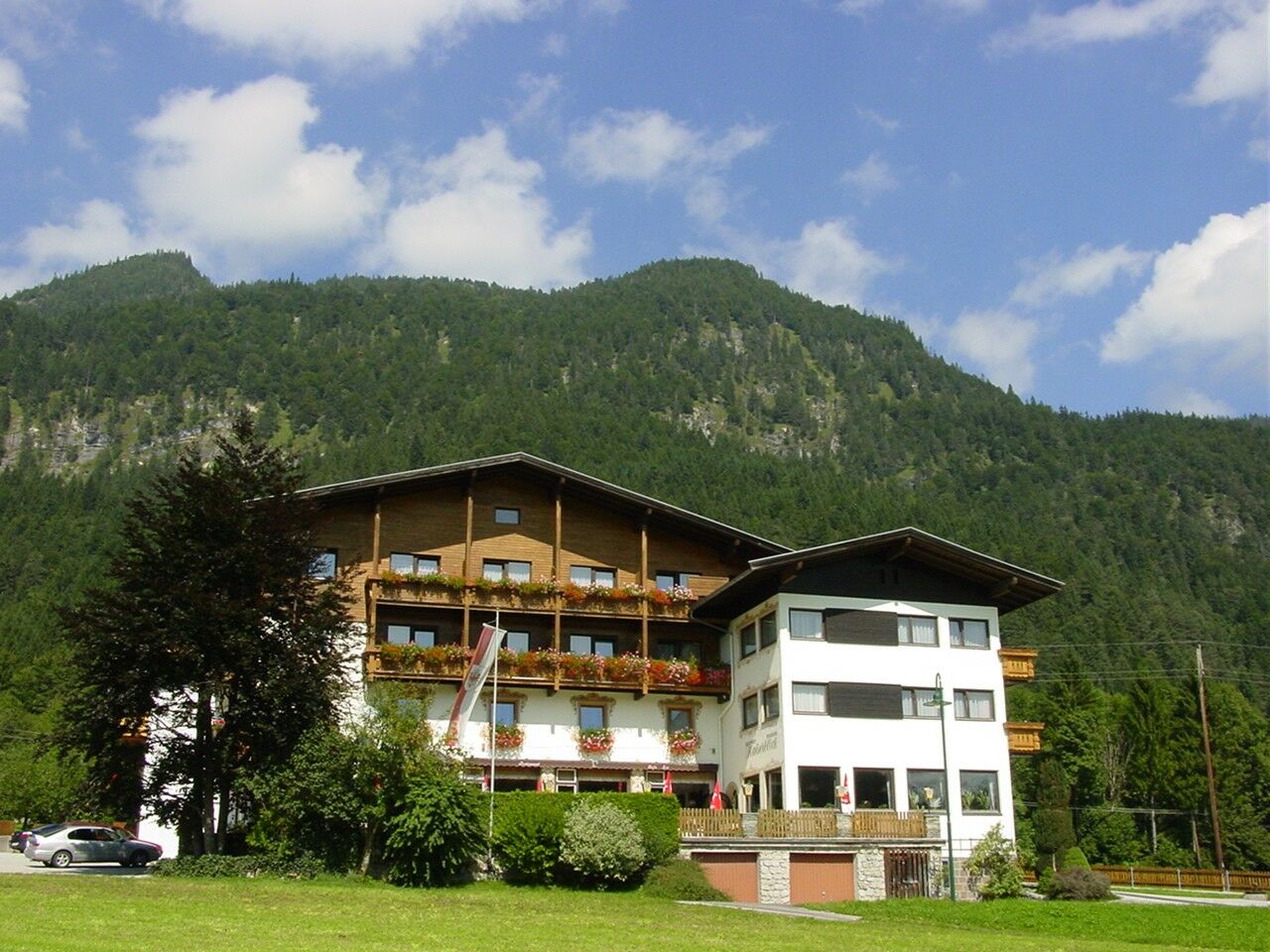
- Starting point
-
Breitenbach Schönau
- Route
-
Ruraalm (1,058 m)1.8 kmSchönau (593 m)10.0 km
- Best season
-
JanFebMarAprMayJunJulAugSepOctNovDec
- Description
-
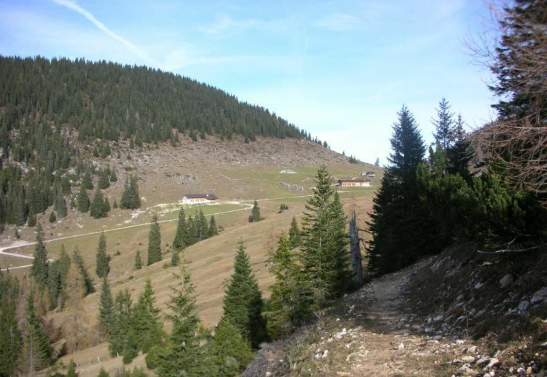
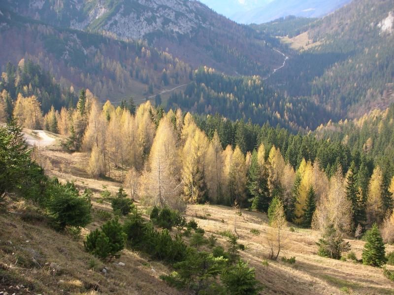
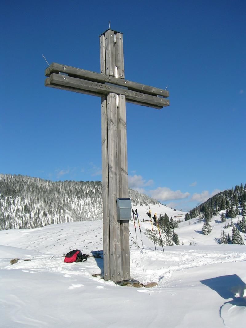
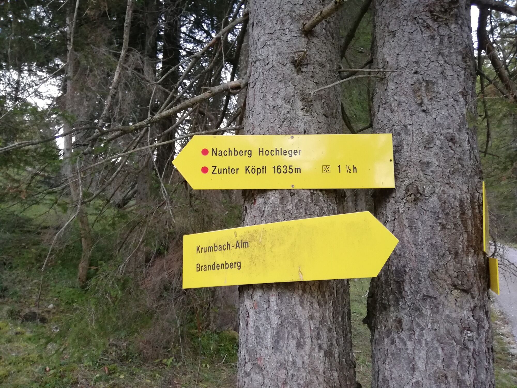
The tour starts in Breitenbach, Schnönau. Turn right after the tennis courts and follow the steep but easy route towards the Ruhreralm (approx. one hour), on to the Aschakreuz 1.458 m (approx. one hour from the Ruhreralm) and the Aschaalm. Backtrack a short part of the path and continue through alpine pastures towards the Nachberg Hochleger. From there walk downhill to Nachberg Niederleger; an in parts quite steep, but not dangerous route leads downhill to Schönau. The walk along the road from Schönau back to where one started takes approx. 1/4 hour.
- Directions
-
Breitenbach / Schönau - Gasthof Kaiserblick car park - Ruhreralm - Ascherkreuz - Aschaalm - Nachberg Hochleger - Nachberg Niederleger - Holzkapelle Niederlegeralm - Gasthof Kaiserblick car park
- Highest point
- 1,471 m
- Endpoint
-
Breitenbach Schönau
- Height profile
-

- Equipment
-
Sturdy footwear, protective clothing, something to eat and drink
- Safety instructions
-
Surefootedness required, especially on the descent.
- Tips
-
Take sufficient water and food with you, there is nowhere to get something to eat and drink along the route
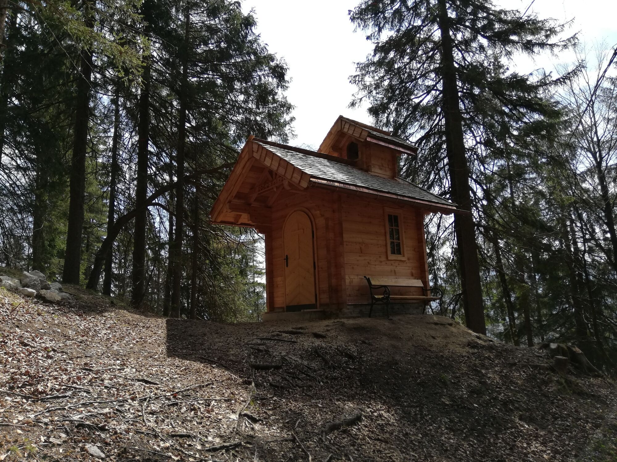
Plan a visit to the new wooden chapel between the Nachberg Almen and Schönau. The chapel was errected by the Landjugend (rural youth association) Breitenbach - Directions
-
B171 to Kundl and Breitenbach, rdive through Breitenbach, take the road to Schönau. Alternatively take the L211 to Breitenbach
- Public transportation
- Parking
-
Gasthof Kaiserblick
- Author
-
The tour Alm hike in Breitenbach is used by outdooractive.com provided.


General info
-
Wildschönau
1821
-
Breitenbach am Inn
451