


- Brief description
-
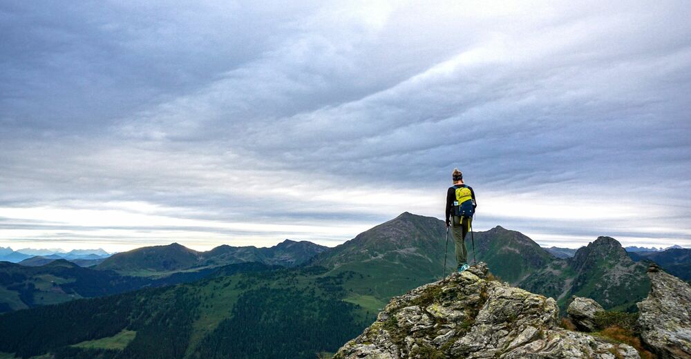
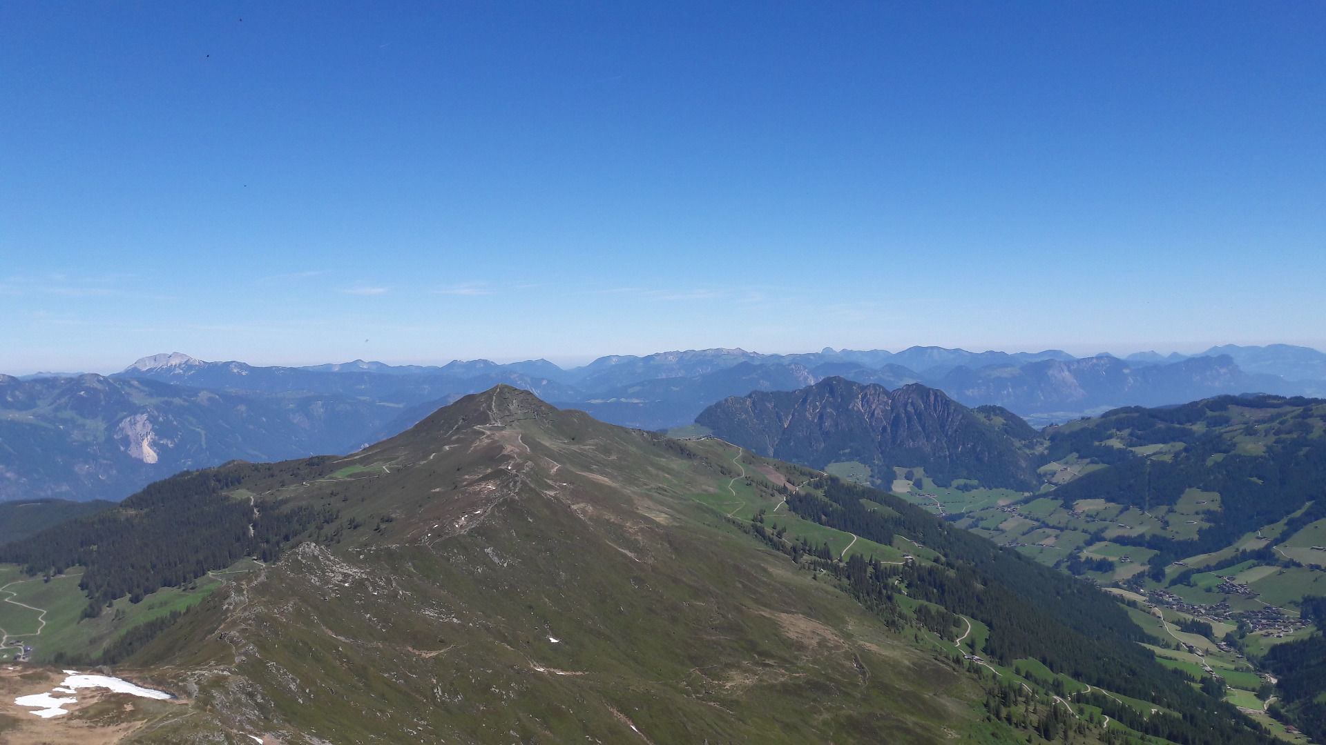
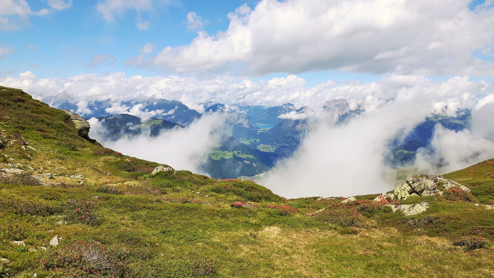
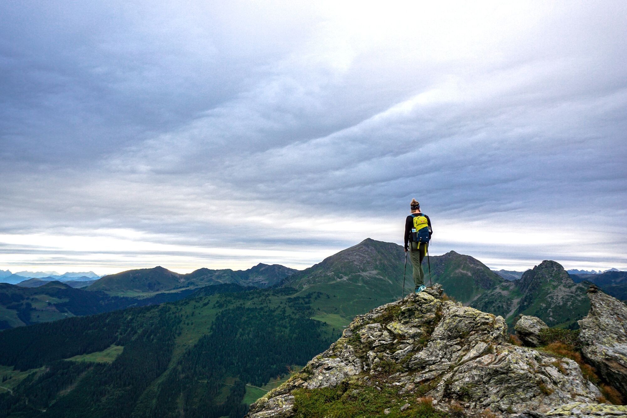
2-peaks in high Alpine terrain offering spectacular views
- Difficulty
-
medium
- Rating
-
- Starting point
-
Wiedersbergerhornbahn top station, Alpbach
- Route
-
Dauerstoa Alm0.0 kmGmahbahn0.1 kmBrandegglift0.5 kmHornalm1.6 kmHornlift 20001.7 kmHochstand (2,058 m)2.9 kmStandkopf (2,241 m)4.6 kmHochstand (2,058 m)6.2 kmHornlift 20007.5 kmHornalm7.6 kmWiedersberger Horn (2,127 m)7.8 kmBrandegglift8.7 kmPöglbahn Bergstation9.0 kmGmahbahn9.0 kmDauerstoa Alm9.2 km
- Best season
-
JanFebMarAprMayJunJulAugSepOctNovDec
- Description
-
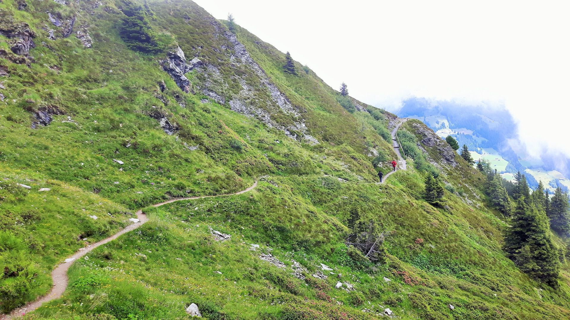
Take the Wiedersberghornbahn mountain lift. From the top station walk along the A40 panorama path to the Hornalm (approx. 1 h). Continue south along the ridge towards the "Sagtaler". Shortly before reaching the peak and following a short climb one reaches the 2.241 m high "Standkopf" (approx. 2 h 30 min walking time from the top station).
Walk back the same path back to the Hornalm and a steep uphill track leading to the 2.128 m high Wiedersbergerhorn (approx. 30 min). To reach the top station 300 m elevation loss need to be negotiated.
Alternative: from the Hornalm follow the panorama path in the other direction (omitting the peak) approx. 45 min.
Take the the mountain lift back down to the valley – please observe the running times.
- Directions
-
Take the Wiedersberghornbahn mountain lift. From the top station walk along the A40 panorama path to the Hornalm (approx. 1 h). Continue south along the ridge towards the "Sagtaler". Shortly before reaching the peak and following a short climb one reaches the 2.241 m high "Standkopf" (approx. 2 h 30 min walking time from the top station).
Walk back the same path back to the Hornalm and a steep uphill track leading to the 2.128 m high Wiedersbergerhorn (approx. 30 min). To reach the top station 300 m elevation loss need to be negotiated.
Alternative: from the Hornalm follow the panorama path in the other direction (omitting the peak) approx. 45 min.
Take the the mountain lift back down to the valley – please observe the running times.
- Highest point
- 2,211 m
- Endpoint
-
Wiedersbergerhornbahn top station, Alpbach
- Height profile
-

- Equipment
-
Sturdy footwear and suitable clothing
- Safety instructions
-
The Standkopf tour via the "Sagtaler" (Tappenkopf, Gamskopf, Farmkehralm, Inneralpbach) is suitable for experienced hikers only! Several sections are marked "BLACK" - are exposed and secured with iron ropes and steps.
- Tips
-
Use of the mountain lifts is included with the Alpbachtal Card.
- Directions
-
A12, motorway exit Kramach/Brixlegg, towards Brixlegg, Alpbachtal, Wiedersbergerhornbahn
- Public transportation
- Parking
-
Wiedersbergerhornbahn car park


- Author
-
The tour Along the ridge to the Standkopf 2.241 m is used by outdooractive.com provided.


General info
-
Alpbachtal
1477
-
Alpbach
484