


- Brief description
-
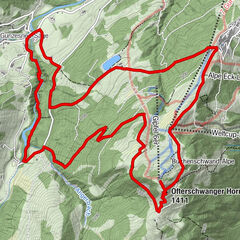
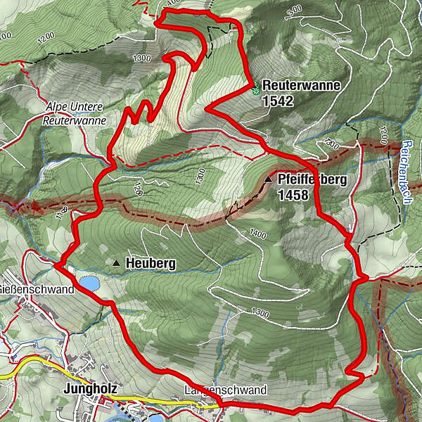
A panoramic tour from the district of Langenschwand along the panorama path to Reuter Wanne.
- Difficulty
-
medium
- Rating
-
- Starting point
-
Parkplatz in Jungholz/Langenschwand
- Route
-
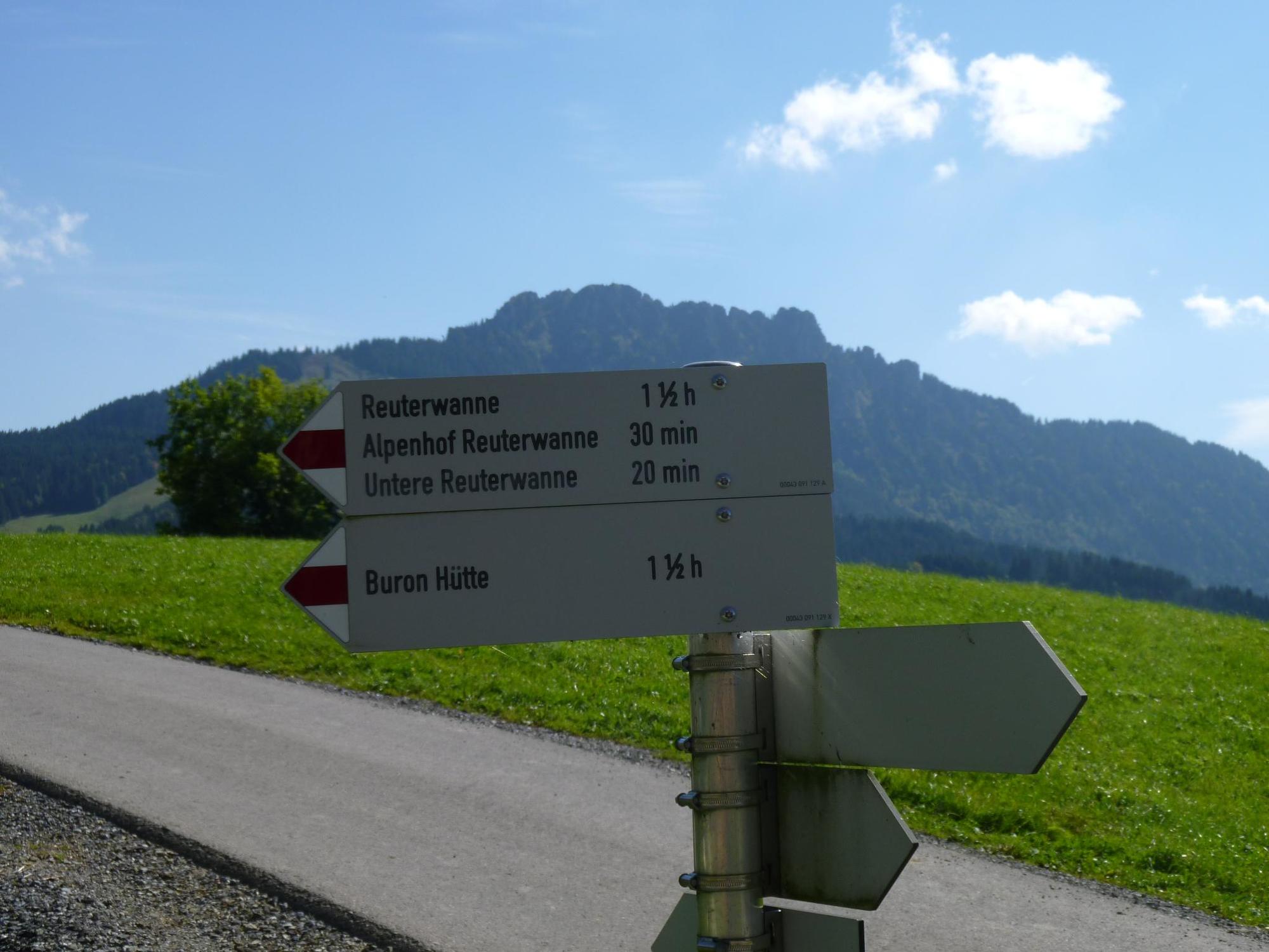
Zu den Aposteln Peter und Paul0.1 kmLangenschwand0.1 kmWaldhorn0.2 kmJungholz (1,054 m)0.7 kmReuterwanne (1,542 m)5.3 kmAlpe Obere Reuterwanne6.1 kmAlpe Stubental (1,284 m)6.9 kmKamelstueble (1,054 m)8.8 kmLangenschwand8.8 km
- Best season
-
JanFebMarAprMayJunJulAugSepOctNovDec
- Description
-
Brief characteristic of young wood:
Jungholz came to Tyrol in 1342 by the sale of the Wertacher Hermann Häselin to Heinz Lochpühler from the Tannheimer Tal as an enclave in the German territory. The 300 inhabitants community is Tyrol's first herbal mountain village. In summer it is mainly the hiking tours and the herbs that make Jungholz attractive. In winter the snow enchants the mountain village. Hiking and skiing is the order of the day. With the help of the modern snowmaking system, snow is guaranteed.Translated with www.DeepL.com/Translator (free version)
- Directions
-
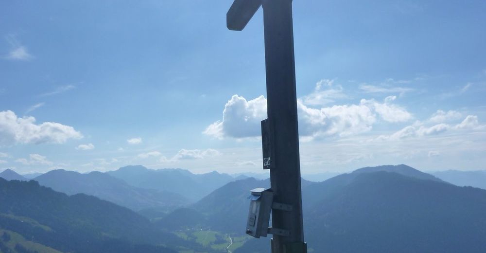
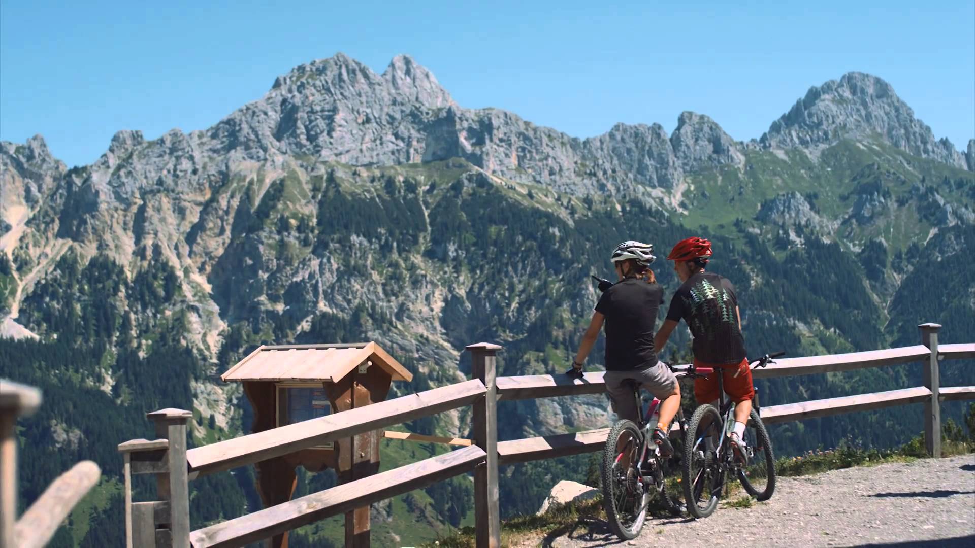
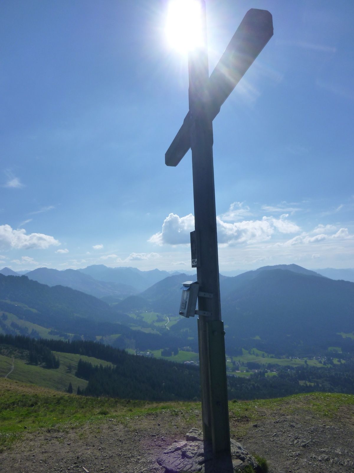
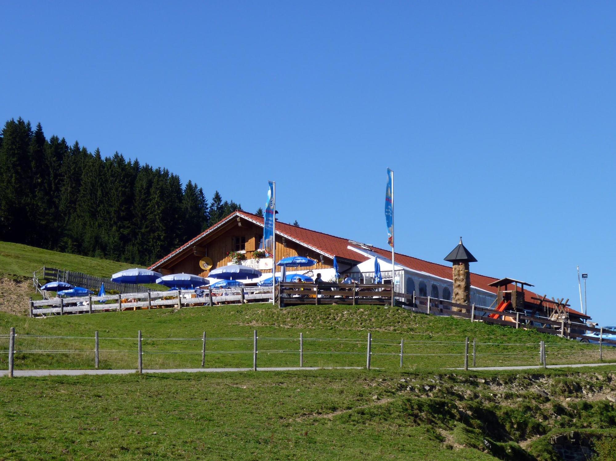
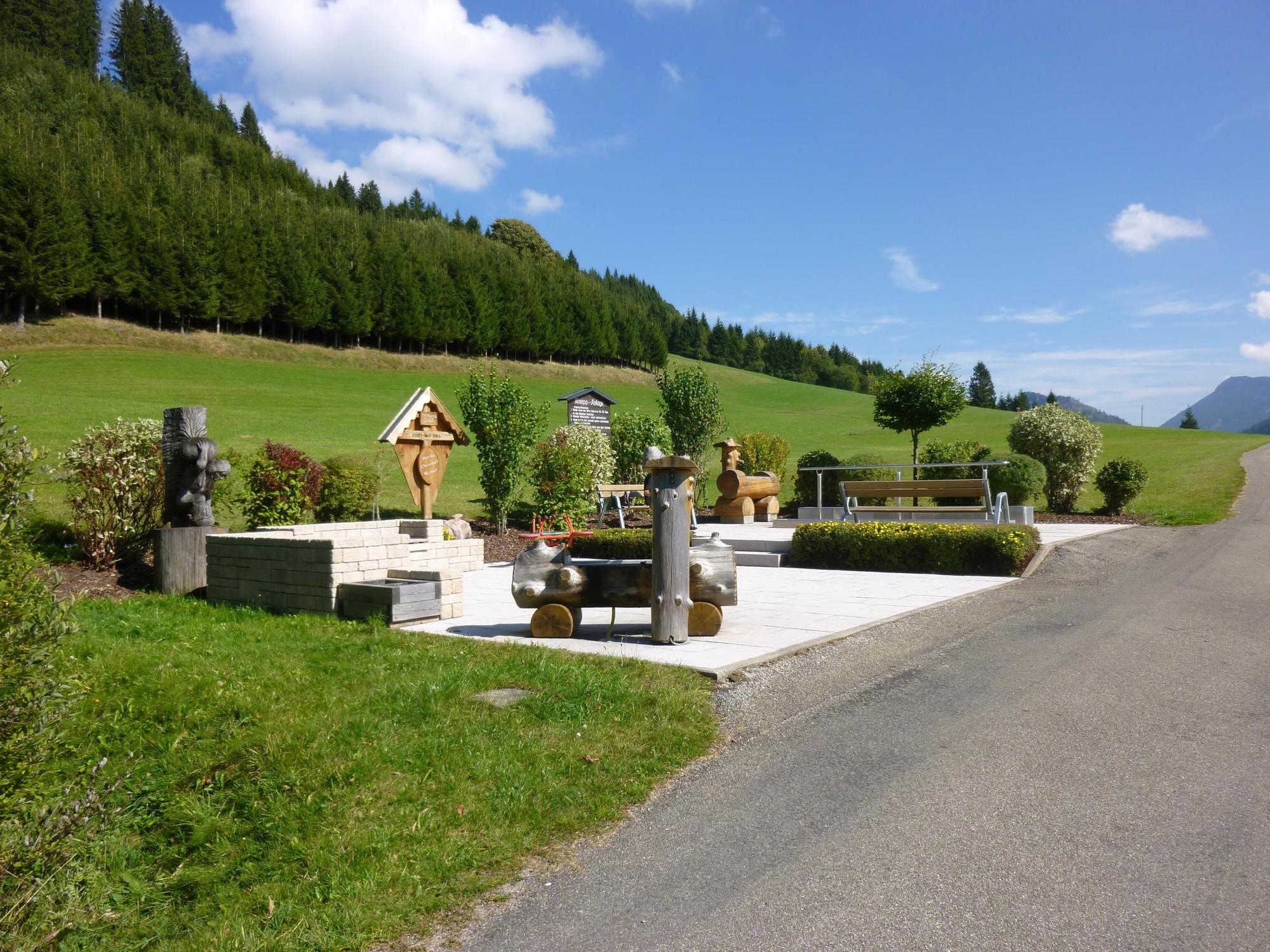
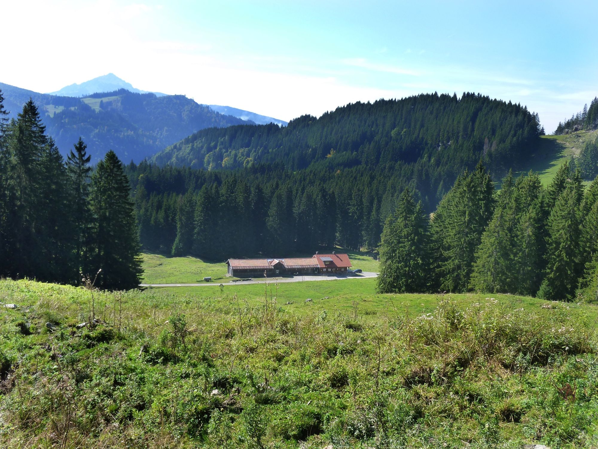
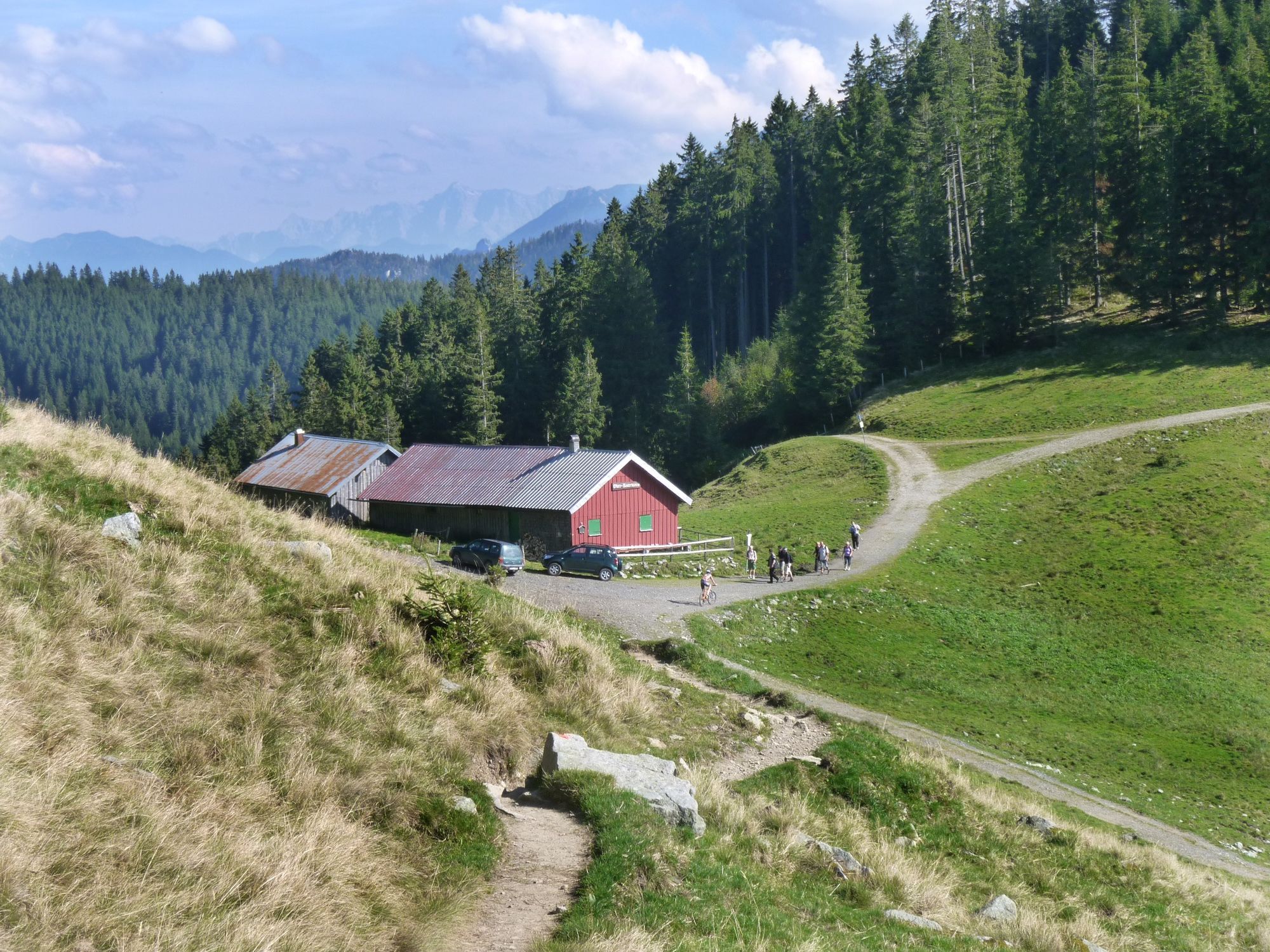
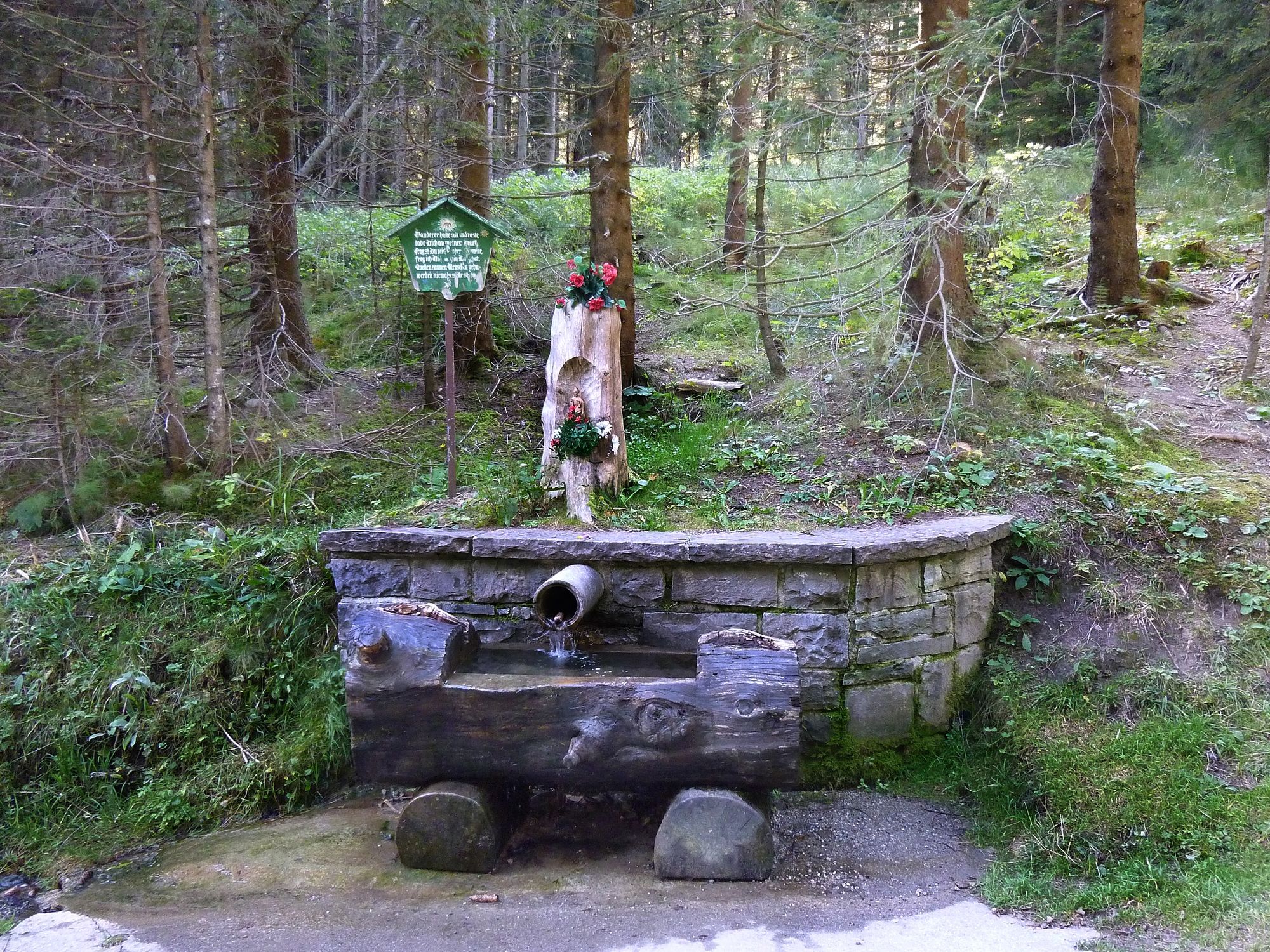
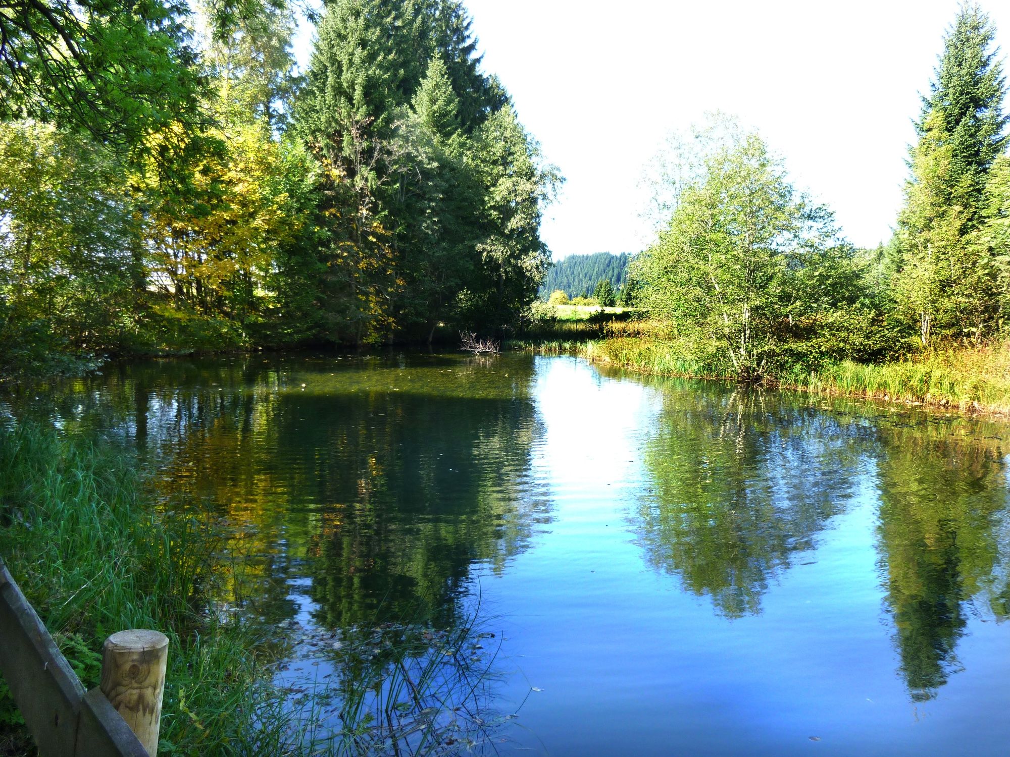
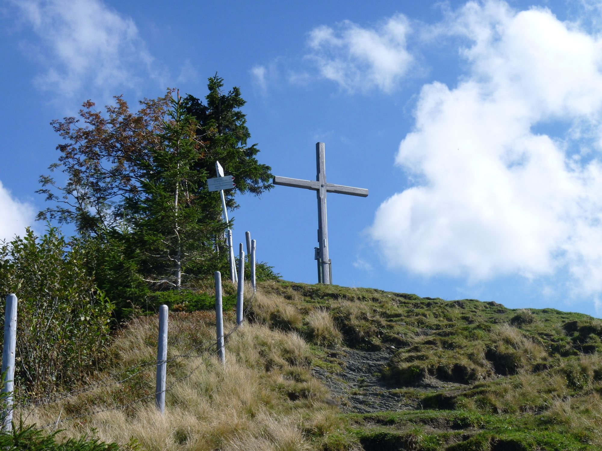
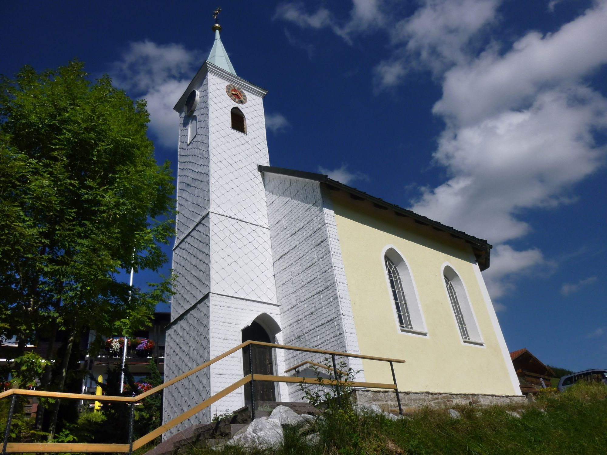
The parking lot in Jungholz in the district of Langenschwand is the starting point of the hike. Only a short distance towards the centre of Jungholz, then the path branches off to the right behind the chapel. A short ascent brings us to the panoramic path over Jungholz. Passing the Kneipp facility, the idyllic moor pond and the water basin for snow production, we reach the Reuter Wanne turnoff. The path runs beautifully through the forest and across clearings, which always offer new views. The gravel path is constantly rising and has several junctions, which are all well signposted. Further up, the wide road turns into a simple hiking trail, but it is still easy to walk on. Then comes a somewhat steeper section through the forest. After this passage, the summit cross is already visible, and after a short time it is reached. Despite the low altitude of the summit, there is a beautiful panoramic view. The descent is over the grass slope which seems to lead directly to Jungholz. But then the path turns left and relatively quickly the hut of the Obere Reuter Wanne is reached. After a few meters on the road, one should not miss the turnoff to Alpe Stubental. Mostly through forest the path leads us at the flank of the Pfeifferberg to the alp Stubental. After a rest we walk the rest of the way on the asphalt road back to Langenschwand. With many positive impressions we leave Jungholz. To the left of us we see the Sorgschrofen, the only connection of Jungholz with the Tannheimer Tal, and so we get some ideas.
- Highest point
- 1,519 m
- Endpoint
-
Parkplatz in Jungholz/Langenschwand
- Height profile
-

- Equipment
-
The personal mountaineering equipment must be safe and serviceable and meet the relevant technical standards. Every hiker is recommended to obtain information about the planned tours from specialist alpine literature or on site.
- Safety instructions
-
It should be noted that in mountaineering there is an increased risk of accidents and injuries. Despite careful route planning, a basic risk always remains. Tour preparation through endurance sports, appropriate technical training and further education as well as personal prudence reduces the danger of accidents and risks. However, please never forget that the weather in the mountains can change very quickly. Stay on the marked hiking trails.
- Additional information
- Directions
-
On the motorway A7 at the exit "Oy-Mittelberg" on the B310 towards Wertach and Oberjoch. At the sign "Jungholz" turn left towards Jungholz, to the district Langenschwand.
From the Tyrolean side via Reutte on the B198 towards Lechtal to Weißenbach, over the Gaichtpass along the B199 through the Tannheimer Tal to Oberjoch. There turn right towards Wertach and at the sign "Jungholz" turn right towards Jungholz, to the district Langenschwand. - Public transportation
-
By train to Sonthofen, Pfronten/Ried or Reutte, then by bus to Jungholz.
- Parking
-
Car park Langenschwand

- Author
-
The tour Reuter Wanne is used by outdooractive.com provided.


General info
-
Allgäu
2362
-
Tannheimer Tal
1453
-
Jungholz
500