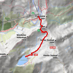
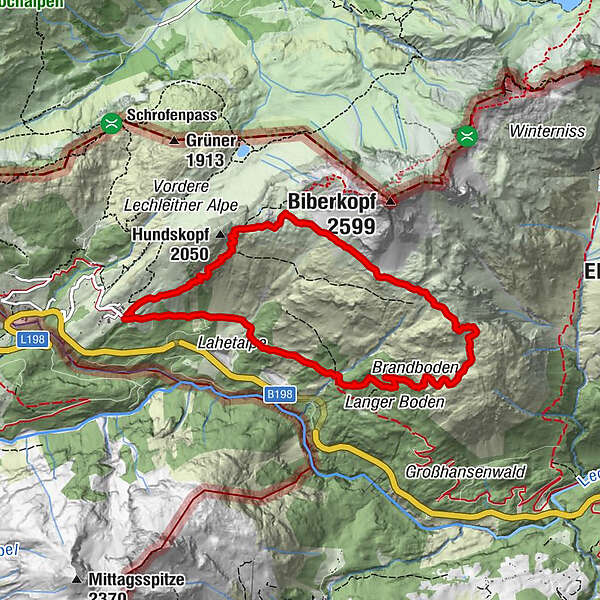
Tour data
8.73km
1,489
- 2,148m
616hm
641hm
03:30h
- Brief description
-
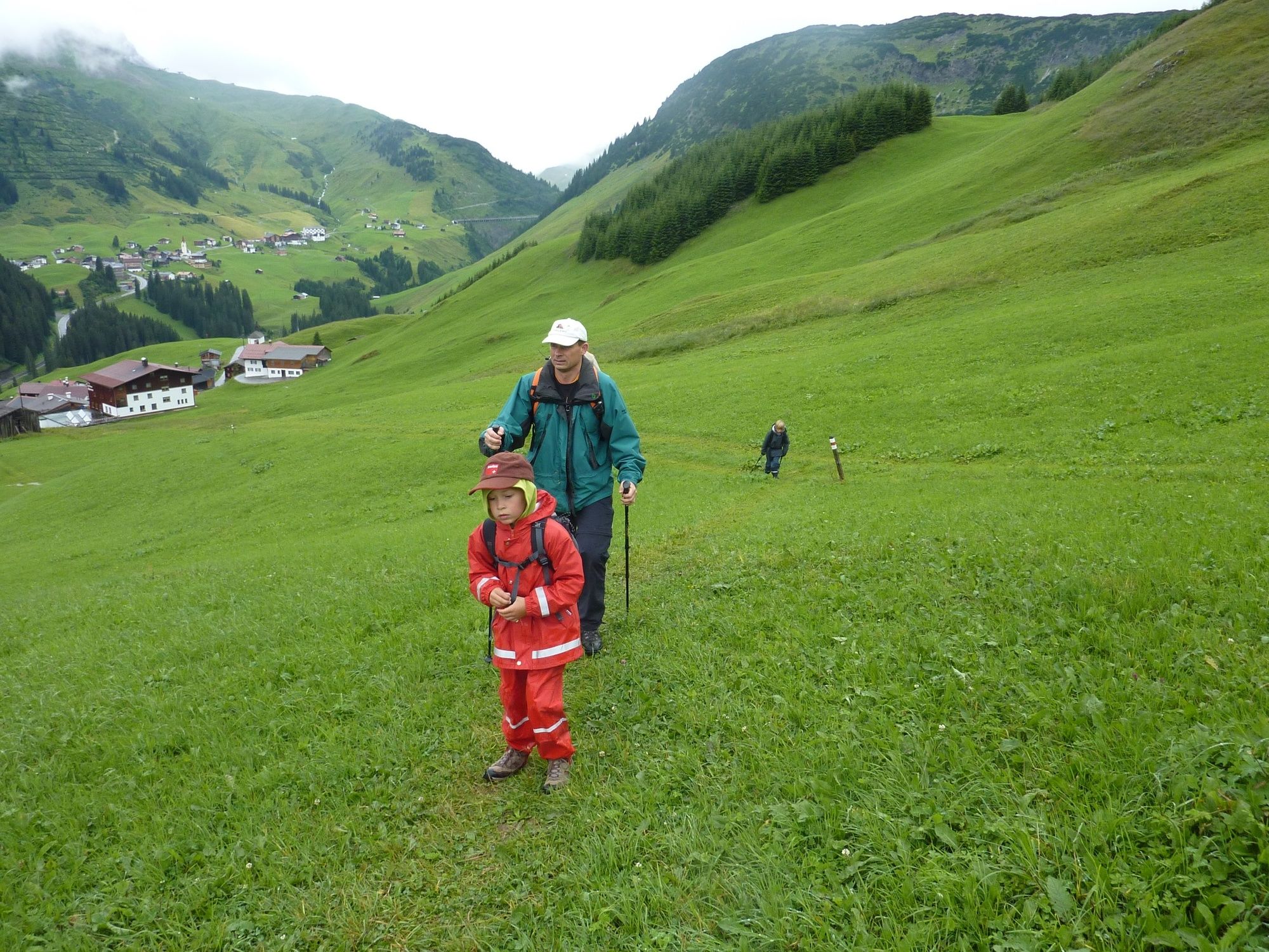
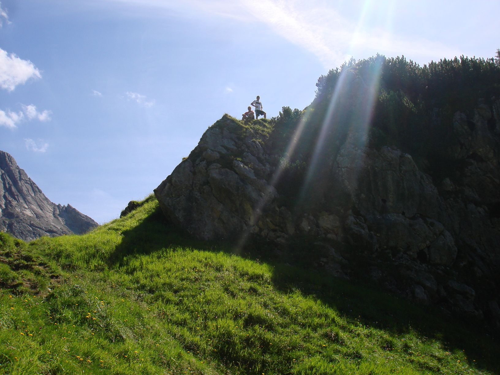
Landschaftlich sehr schöne Höhentour mit viel Aussicht
- Route
-
LechleitenLechleiten8.6 km
- Best season
-
JanFebMarAprMayJunJulAugSepOctNovDec
- Highest point
- 2,148 m
- Endpoint
-
Lechleiten
- Height profile
-


- Author
-
The tour Mäuerleshütte is used by outdooractive.com provided.
GPS Downloads


General info
Flora
Fauna
A lot of view
Other tours in the regions
-
Kleinwalsertal
2049
-
Steeg im Lechtal
363