


- Brief description
-
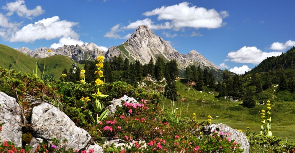
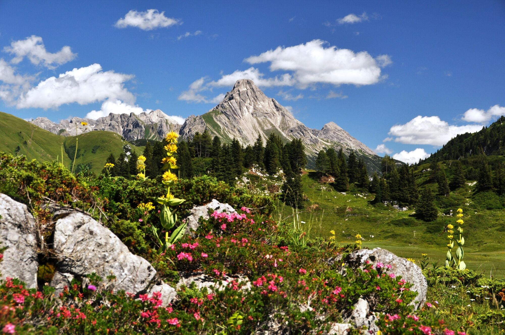
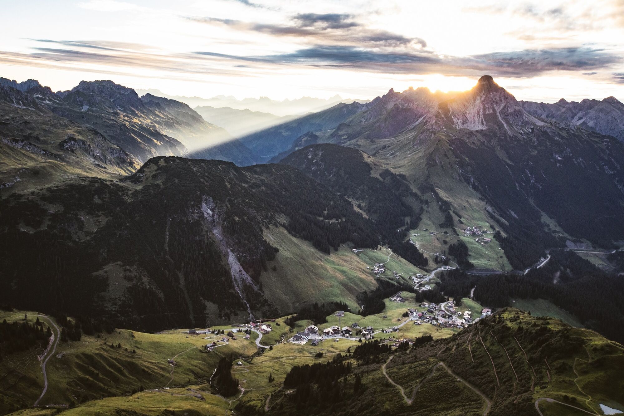
Let’s start in Lechleiten at approx. 1.500 m. At the beginning of the mountain tour, we follow the hiking path uphill over lush green fields and flowering meadows. After a short walk, the path becomes much narrower and leads us a little closer to the summit in a zigzag. Meanwhile, we are already beyond the tree line in a large hollow, where we can truly enjoy a postcard view. We continue our hike and soon come to a pure rocky landscape, which is partly secured with steel ropes. While we climb up and do some climbing passages, full concentration, surefootedness and vertigo are required. Having reached the ridge, the mighty summit cross is reached in a few minutes. We breathe deeply into the foresight and feel pure happiness at the summit. Retour at the same way.
- Difficulty
-
difficult
- Rating
-
- Starting point
-
Lechleiten
- Route
-
Lechleiten0.1 kmSt. Wendelin0.2 kmBiberkopf (2,599 m)3.9 kmSt. Wendelin7.5 kmLechleiten7.6 km
- Best season
-
JanFebMarAprMayJunJulAugSepOctNovDec
- Description
-
Touring.
Lechleiten - Hundskopf - Biberkopf - Hundkopf - Lechleiten
- Directions
-
Touring.
Lechleiten - Hundskopf - Biberkopf - Hundkopf - Lechleiten
- Highest point
- 2,583 m
- Endpoint
-
Lechleiten
- Height profile
-

- Equipment
-
This should never be missing on the mountain.
Backpack, First-Aid Set incl. Bladder plaster, telephone with emergency number, cash, drinking bottle, pocket knife, provisions, sun protection in good weather.
- Safety instructions
-
Emergency numbers.
140 - Alpine emergencies throughout Austria
144 - Alpine emergencies in Vorarlberg
112 - Euro emergency call
- Additional information
- Arrival
- Public transportation
- Parking
- Author
-
The tour Biberkopf (2.599 m) is used by outdooractive.com provided.


General info
-
Kleinwalsertal
2049
-
Steeg im Lechtal
363


